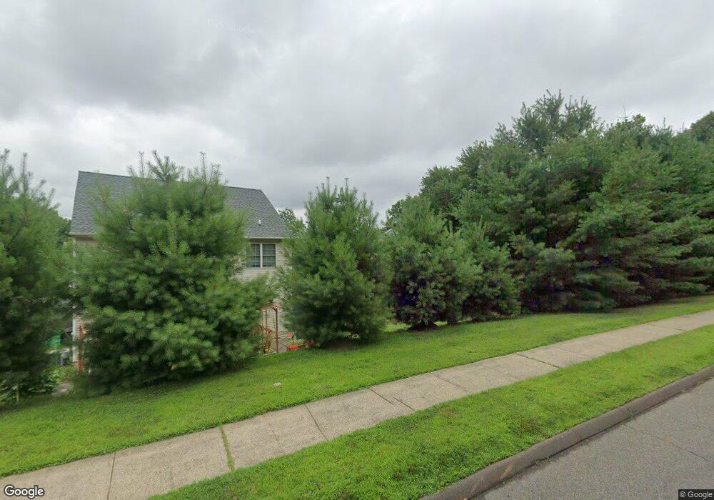
17 Brook Cir Unit 17 Wallingford, CT 06492
Estimated Value: $440,000 - $476,761
4
Beds
3
Baths
1,779
Sq Ft
$261/Sq Ft
Est. Value
About This Home
This home is located at 17 Brook Cir Unit 17, Wallingford, CT 06492 and is currently estimated at $464,190, approximately $260 per square foot. 17 Brook Cir Unit 17 is a home located in New Haven County with nearby schools including Highland Elementary School, Mary G. Fritz Elementary School, and James H. Moran Middle School.
Ownership History
Date
Name
Owned For
Owner Type
Purchase Details
Closed on
Dec 23, 2019
Sold by
Gurumoorthy Balaji and Narayanaswamy Kala
Bought by
Thiruvengadachari Krishna
Current Estimated Value
Home Financials for this Owner
Home Financials are based on the most recent Mortgage that was taken out on this home.
Original Mortgage
$250,800
Outstanding Balance
$221,116
Interest Rate
3.6%
Mortgage Type
Purchase Money Mortgage
Estimated Equity
$243,074
Purchase Details
Closed on
May 17, 2004
Sold by
Coller Stuart and Coller Stephanie
Bought by
Gurumoorthy Balaji and Narayanaswamy Kala
Home Financials for this Owner
Home Financials are based on the most recent Mortgage that was taken out on this home.
Original Mortgage
$240,000
Interest Rate
5.47%
Create a Home Valuation Report for This Property
The Home Valuation Report is an in-depth analysis detailing your home's value as well as a comparison with similar homes in the area
Home Values in the Area
Average Home Value in this Area
Purchase History
| Date | Buyer | Sale Price | Title Company |
|---|---|---|---|
| Thiruvengadachari Krishna | $264,000 | None Available | |
| Gurumoorthy Balaji | $300,000 | -- |
Source: Public Records
Mortgage History
| Date | Status | Borrower | Loan Amount |
|---|---|---|---|
| Open | Thiruvengadachari Krishna | $250,800 | |
| Previous Owner | Gurumoorthy Balaji | $163,600 | |
| Previous Owner | Gurumoorthy Balaji | $185,000 | |
| Previous Owner | Gurumoorthy Balaji | $240,000 |
Source: Public Records
Tax History Compared to Growth
Tax History
| Year | Tax Paid | Tax Assessment Tax Assessment Total Assessment is a certain percentage of the fair market value that is determined by local assessors to be the total taxable value of land and additions on the property. | Land | Improvement |
|---|---|---|---|---|
| 2025 | $7,250 | $300,600 | $0 | $300,600 |
| 2024 | $6,408 | $209,000 | $0 | $209,000 |
| 2023 | $6,132 | $209,000 | $0 | $209,000 |
| 2022 | $6,069 | $209,000 | $0 | $209,000 |
| 2021 | $5,961 | $209,000 | $0 | $209,000 |
| 2020 | $5,712 | $195,700 | $0 | $195,700 |
| 2019 | $5,712 | $195,700 | $0 | $195,700 |
| 2018 | $5,605 | $195,700 | $0 | $195,700 |
| 2017 | $5,587 | $195,700 | $0 | $195,700 |
| 2016 | $5,458 | $195,700 | $0 | $195,700 |
| 2015 | $5,966 | $217,200 | $0 | $217,200 |
| 2014 | $5,841 | $217,200 | $0 | $217,200 |
Source: Public Records
Map
Nearby Homes
- 255 Old Stagecoach Rd
- 9 Staffordshire Commons Dr
- 1012 Old Colony Rd Unit LOT 81
- 1012 Old Colony Rd Unit 85
- 560 Yale Ave Unit 209
- 84 Hanover St
- 81 Hanover St
- 1001 Old Colony Rd Unit 2-4
- 1367 Hanover Ave Unit 703
- 219 S Broad St Unit S105
- 219 S Broad St Unit N217
- 67 Royal Oak Cir
- 121 Evergreen Ln
- 123 Pembroke Ct Unit 123
- 31 Carriage Dr
- 34 Meetinghouse Ridge
- 36 Raymond Dr
- 25 Raymond Dr
- 380 Main St Unit 3
- 380 Main St Unit 7