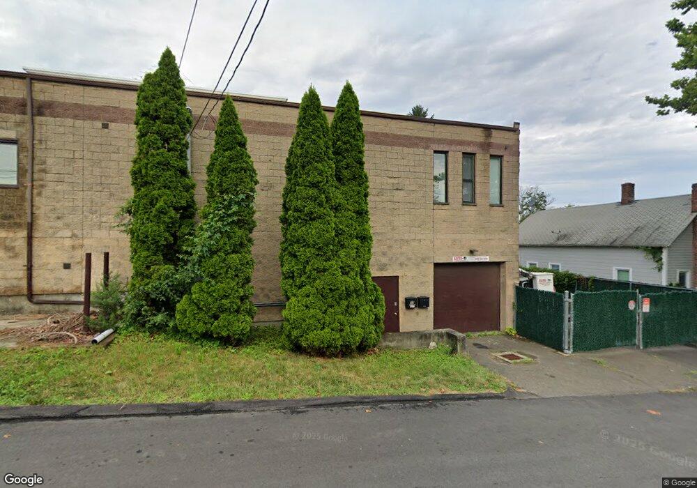
17 Bryant St Bridgeport, CT 06605
Black Rock NeighborhoodEstimated Value: $227,334
--
Bed
--
Bath
2,418
Sq Ft
$94/Sq Ft
Est. Value
About This Home
This home is located at 17 Bryant St, Bridgeport, CT 06605 and is currently estimated at $227,334, approximately $94 per square foot. 17 Bryant St is a home located in Fairfield County with nearby schools including Bassick High School, Park City Prep Charter School, and Capital Prep Harbor Upper School.
Ownership History
Date
Name
Owned For
Owner Type
Purchase Details
Closed on
Mar 2, 2015
Sold by
Fry Barbara
Bought by
Properti Bryant Street
Current Estimated Value
Purchase Details
Closed on
Nov 26, 1997
Sold by
Psfc Llc
Bought by
Fry Paul E and Fry Barbara J
Home Financials for this Owner
Home Financials are based on the most recent Mortgage that was taken out on this home.
Original Mortgage
$120,000
Interest Rate
8.29%
Mortgage Type
Commercial
Purchase Details
Closed on
May 7, 1997
Sold by
Worldwide Properties
Bought by
Psfc Llc
Create a Home Valuation Report for This Property
The Home Valuation Report is an in-depth analysis detailing your home's value as well as a comparison with similar homes in the area
Home Values in the Area
Average Home Value in this Area
Purchase History
| Date | Buyer | Sale Price | Title Company |
|---|---|---|---|
| Properti Bryant Street | $130,000 | -- | |
| Bryant Street Properti | $130,000 | -- | |
| Fry Paul E | $150,000 | -- | |
| Fry Paul E | $150,000 | -- | |
| Psfc Llc | $150,000 | -- | |
| Psfc Llc | $150,000 | -- |
Source: Public Records
Mortgage History
| Date | Status | Borrower | Loan Amount |
|---|---|---|---|
| Open | Psfc Llc | $106,400 | |
| Previous Owner | Psfc Llc | $200,000 | |
| Previous Owner | Psfc Llc | $120,000 |
Source: Public Records
Tax History Compared to Growth
Tax History
| Year | Tax Paid | Tax Assessment Tax Assessment Total Assessment is a certain percentage of the fair market value that is determined by local assessors to be the total taxable value of land and additions on the property. | Land | Improvement |
|---|---|---|---|---|
| 2025 | $6,660 | $153,290 | $69,410 | $83,880 |
| 2024 | $6,660 | $153,290 | $69,410 | $83,880 |
| 2023 | $6,660 | $153,290 | $69,410 | $83,880 |
| 2022 | $6,660 | $153,290 | $69,410 | $83,880 |
| 2021 | $6,660 | $153,290 | $69,410 | $83,880 |
| 2020 | $7,096 | $131,440 | $45,470 | $85,970 |
| 2019 | $7,096 | $131,440 | $45,470 | $85,970 |
| 2018 | $7,146 | $131,440 | $45,470 | $85,970 |
| 2017 | $7,146 | $131,440 | $45,470 | $85,970 |
| 2016 | $7,146 | $131,440 | $45,470 | $85,970 |
| 2015 | $5,968 | $141,420 | $51,160 | $90,260 |
| 2014 | $7,442 | $176,360 | $51,160 | $125,200 |
Source: Public Records
Map
Nearby Homes
- 144 Whittier St
- 135 Whittier St
- 31 Whittier St
- 25 Whittier St
- 82 Waldorf Ave
- 95 Bedford Ave
- 167 Scofield Ave
- 118 Berwick Ave
- 105 Scofield Ave
- 130 Brentwood Ave
- 145 Brentwood Ave
- 195 Lenox Ave Unit 197
- 47 Lenox Ave
- 166 Alfred St
- 51 Princeton St
- 246 Lenox Ave
- 1059 Hancock Ave Unit 1061
- 368 Lenox Ave
- 500 Dewey St
- 855 Brewster St Unit 857
- 166 Orland St
- 174 Orland St Unit 3
- 174 Orland St Unit 2
- 172 Orland St Unit 174
- 172 Orland St Unit 3
- 172 Orland St Unit 2
- 25 Bryant St
- 144 Orland St Unit 148
- 56 Bryant St Unit 58
- 190 Orland St
- 130 Orland St Unit 134
- 101 Orland St
- 101 Orland St Unit 1ST F
- 122 Orland St Unit 126
- 41 Bryant St
- 20 Siemon St
- 52 Bryant St
- 194 Orland St
- 30 Siemon St
- 185 Orland St Unit 187