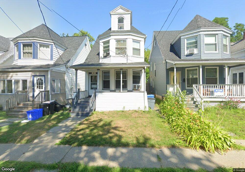
17 Buchanan St Albany, NY 12206
Upper Washington Avenue NeighborhoodEstimated Value: $209,000 - $245,000
3
Beds
1
Bath
1,364
Sq Ft
$165/Sq Ft
Est. Value
About This Home
This home is located at 17 Buchanan St, Albany, NY 12206 and is currently estimated at $224,662, approximately $164 per square foot. 17 Buchanan St is a home located in Albany County with nearby schools including Pine Hills Elementary School, Stephen And Harriet Myers Middle School, and Albany High School.
Ownership History
Date
Name
Owned For
Owner Type
Purchase Details
Closed on
May 18, 2005
Sold by
Morkler Matthew
Bought by
Pell Jimpson
Current Estimated Value
Home Financials for this Owner
Home Financials are based on the most recent Mortgage that was taken out on this home.
Original Mortgage
$24,600
Outstanding Balance
$12,736
Interest Rate
5.83%
Mortgage Type
Stand Alone Second
Estimated Equity
$211,926
Create a Home Valuation Report for This Property
The Home Valuation Report is an in-depth analysis detailing your home's value as well as a comparison with similar homes in the area
Home Values in the Area
Average Home Value in this Area
Purchase History
| Date | Buyer | Sale Price | Title Company |
|---|---|---|---|
| Pell Jimpson | $123,000 | Thomas Gabriels |
Source: Public Records
Mortgage History
| Date | Status | Borrower | Loan Amount |
|---|---|---|---|
| Open | Pell Jimpson | $24,600 |
Source: Public Records
Tax History
| Year | Tax Paid | Tax Assessment Tax Assessment Total Assessment is a certain percentage of the fair market value that is determined by local assessors to be the total taxable value of land and additions on the property. | Land | Improvement |
|---|---|---|---|---|
| 2024 | $4,436 | $203,000 | $40,600 | $162,400 |
| 2023 | $4,516 | $144,000 | $28,800 | $115,200 |
| 2022 | $4,337 | $144,000 | $28,800 | $115,200 |
| 2021 | $4,287 | $144,000 | $28,800 | $115,200 |
| 2020 | $4,407 | $144,000 | $28,800 | $115,200 |
| 2019 | $4,907 | $144,000 | $28,800 | $115,200 |
| 2018 | $4,434 | $144,000 | $28,800 | $115,200 |
| 2017 | $2,025 | $144,000 | $28,800 | $115,200 |
| 2016 | $4,327 | $144,000 | $28,800 | $115,200 |
| 2015 | $4,218 | $140,700 | $28,100 | $112,600 |
| 2014 | -- | $140,700 | $28,100 | $112,600 |
Source: Public Records
Map
Nearby Homes
- 15 Buchanan St
- 29 Buchanan St
- 282 Manning Blvd
- 13 Cleveland St
- 148 N Pine Ave
- 860 Washington Ave
- 75 Lincoln Ave
- 118 N Allen St
- 349 Manning Blvd
- 30 Willow St
- 959 Washington Ave
- 948 Washington Ave
- 950 Washington Ave
- 884 Lancaster St
- 81 N Main Ave
- 21 Watervliet Ave
- 47 N Main Ave
- 115 Homestead Ave
- 39 Garfield Place
- 84 Winthrop Ave
- 19 Buchanan St
- 13 Buchanan St
- 21 Buchanan St
- 11 Buchanan St
- 23 Buchanan St
- 25 Buchanan St
- 16 Mckinley St
- 27 Buchanan St
- 18 Mckinley St
- 14 Mckinley St
- 20 Mckinley St
- 12 Mckinley St
- 276 Manning Blvd
- 278 Manning Blvd Unit 1
- 280 Manning Blvd
- 274 Manning Blvd
- 22 Mckinley St
- 272 Manning Blvd
- 18 Buchanan St
- 20 Buchanan St
Your Personal Tour Guide
Ask me questions while you tour the home.