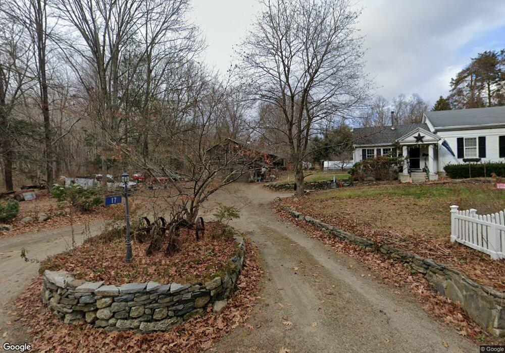
17 Burnap Brook Rd Andover, CT 06232
Estimated Value: $303,000 - $412,000
2
Beds
2
Baths
1,326
Sq Ft
$269/Sq Ft
Est. Value
About This Home
This home is located at 17 Burnap Brook Rd, Andover, CT 06232 and is currently estimated at $356,319, approximately $268 per square foot. 17 Burnap Brook Rd is a home located in Tolland County with nearby schools including Andover Elementary School, RHAM Middle School, and RHAM High School.
Ownership History
Date
Name
Owned For
Owner Type
Purchase Details
Closed on
Oct 15, 1999
Sold by
Perreault Leonard
Bought by
Lundberg Don and Farnsworth Beth Leah
Current Estimated Value
Create a Home Valuation Report for This Property
The Home Valuation Report is an in-depth analysis detailing your home's value as well as a comparison with similar homes in the area
Home Values in the Area
Average Home Value in this Area
Purchase History
| Date | Buyer | Sale Price | Title Company |
|---|---|---|---|
| Lundberg Don | $137,500 | -- | |
| Lundberg Don | $137,500 | -- |
Source: Public Records
Mortgage History
| Date | Status | Borrower | Loan Amount |
|---|---|---|---|
| Open | Lundberg Don | $59,000 | |
| Open | Lundberg Don | $100,000 | |
| Closed | Lundberg Don | $71,000 | |
| Closed | Lundberg Don | $47,000 |
Source: Public Records
Tax History Compared to Growth
Tax History
| Year | Tax Paid | Tax Assessment Tax Assessment Total Assessment is a certain percentage of the fair market value that is determined by local assessors to be the total taxable value of land and additions on the property. | Land | Improvement |
|---|---|---|---|---|
| 2025 | $6,139 | $194,320 | $37,940 | $156,380 |
| 2024 | $6,113 | $194,320 | $37,940 | $156,380 |
| 2023 | $6,080 | $194,320 | $37,940 | $156,380 |
| 2022 | $6,201 | $194,320 | $37,940 | $156,380 |
| 2021 | $5,965 | $165,700 | $48,100 | $117,600 |
| 2020 | $5,901 | $165,700 | $48,100 | $117,600 |
| 2019 | $5,798 | $165,700 | $48,100 | $117,600 |
| 2018 | $5,626 | $165,700 | $48,100 | $117,600 |
| 2017 | $5,385 | $165,700 | $48,100 | $117,600 |
| 2016 | $4,881 | $158,900 | $48,400 | $110,500 |
| 2015 | $4,881 | $158,900 | $48,400 | $110,500 |
| 2014 | $4,881 | $158,900 | $48,400 | $110,500 |
Source: Public Records
Map
Nearby Homes
- 105 School Rd
- 217 Hebron Rd
- 273 Hebron Rd
- 0 Us Highway 6
- 126 Hebron Rd
- 40 Wheeling Rd
- 0 Wheeling Rd Unit 24116879
- 78 Bear Swamp Rd
- 0 Skinner Hill Rd Unit 24077239
- 34 Hanover Farms Rd
- 9 Tumblebrook Rd
- 53 Skinner Hill Rd
- 150 London Rd
- 38 John Paul Ln
- 29 Lyman Rd
- 1 West St
- 00 Bunker Hill Rd
- 100 French Rd
- 115 Yorkshire Dr
- 687 Hop River Rd
- 166 Route 6
- 0 Hutchinson Rd
- 3 Hutchinson Rd
- 196 Route 6
- 90 Burnap Brook Rd
- 19 Ridge Rd
- 32 Aspinall Dr
- 187 Route 6
- 187 Route 6 Unit A
- 187 Route 6 Unit B
- 24 Aspinall Dr
- 31 Burnap Brook Rd
- 18 Aspinall Dr
- 44 Aspinall Dr
- 86 Burnap Brook Rd
- 41 Burnap Brook Rd
- 31 Aspinall Dr
- 25 Aspinall Dr
- 17 Aspinall Dr
- 47 Burnap Brook Rd