17 Cape Fear Trail Bald Head Island, NC 28461
Estimated Value: $2,083,000 - $3,515,000
5
Beds
4
Baths
2,701
Sq Ft
$968/Sq Ft
Est. Value
About This Home
This home is located at 17 Cape Fear Trail, Bald Head Island, NC 28461 and is currently estimated at $2,614,473, approximately $967 per square foot. 17 Cape Fear Trail is a home located in Brunswick County with nearby schools including Southport Elementary School, South Brunswick Middle School, and South Brunswick High School.
Ownership History
Date
Name
Owned For
Owner Type
Purchase Details
Closed on
Mar 18, 2013
Sold by
Bald Head Associates Llc
Bought by
Stonger Harriette S
Current Estimated Value
Purchase Details
Closed on
Aug 30, 2006
Sold by
Ronalter Ralph J and Ronalter Rosa
Bought by
Center 176 Llc
Purchase Details
Closed on
Dec 28, 2005
Sold by
Ronalter Ralph J and Ronalter William C
Bought by
Ronalter Ralph J and Ronalter William C
Create a Home Valuation Report for This Property
The Home Valuation Report is an in-depth analysis detailing your home's value as well as a comparison with similar homes in the area
Home Values in the Area
Average Home Value in this Area
Purchase History
| Date | Buyer | Sale Price | Title Company |
|---|---|---|---|
| Stonger Harriette S | -- | None Available | |
| Center 176 Llc | $2,100,000 | None Available | |
| Ronalter Ralph J | -- | None Available |
Source: Public Records
Tax History Compared to Growth
Tax History
| Year | Tax Paid | Tax Assessment Tax Assessment Total Assessment is a certain percentage of the fair market value that is determined by local assessors to be the total taxable value of land and additions on the property. | Land | Improvement |
|---|---|---|---|---|
| 2025 | -- | $1,931,110 | $995,000 | $936,110 |
| 2024 | $20,788 | $1,931,110 | $995,000 | $936,110 |
| 2023 | $18,474 | $1,931,110 | $995,000 | $936,110 |
| 2022 | $18,474 | $1,381,640 | $800,000 | $581,640 |
| 2021 | $13,508 | $1,381,640 | $800,000 | $581,640 |
| 2020 | $17,990 | $1,381,640 | $800,000 | $581,640 |
| 2019 | $17,990 | $806,300 | $800,000 | $6,300 |
| 2018 | $17,409 | $753,020 | $750,000 | $3,020 |
| 2017 | $17,008 | $753,020 | $750,000 | $3,020 |
| 2016 | $17,008 | $753,020 | $750,000 | $3,020 |
| 2015 | $17,008 | $1,337,020 | $750,000 | $587,020 |
| 2014 | $12,522 | $1,085,760 | $560,000 | $525,760 |
Source: Public Records
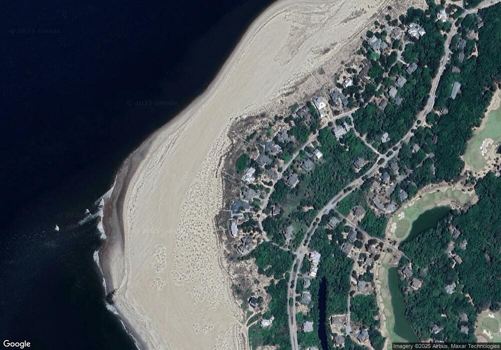
Map
Nearby Homes
- 11 Royal Tern Ct
- 10 Royal Tern Ct
- 35 Cape Fear Trail
- 227 W Bald Head Wynd
- 224 W Bald Head Wynd
- 8 Racerunner Ct
- 2 Fort Holmes Trail
- 123 W Bald Head Wynd
- 15 Sea Gull Trail
- 231 S Bald Head Wynd
- 231 S Bald Head
- 113 W Bald Head W
- 17 Musket Ct
- 5 Musket Ct
- 20 Fort Holmes Trail
- 55 Fort Holmes Trail
- 45 Fort Holmes Trail
- 32 Dowitcher Trail
- 28 Dowitcher Trail
- 40 Dowitcher Trail
- 17 Cape Fear Trail (L- 1024)
- 19 Cape Fear Trail
- 15 Cape Fear Trail
- 15 Cape Fear Trail Unit L1025
- 21 Cape Fear Trail
- 13 Cape Fear Trail
- 10 Cape Fear Trail
- 14 Cape Fear Trail
- 10 Cape Fear Trail
- 23 Cape Fear Trail
- 11 Cape Fear Trail
- 16 Cape Fear Trail
- 8 Cape Fear Trail
- 8 Cape Fear(l#1237) Trail
- 9 Cape Fear Trail
- 18 Cape Fear Trail
- 0 Cape Fear Trail
- 12 Cape Fear Trail
- 28 Cape Fear Trail
- 28 Horsemint Trail