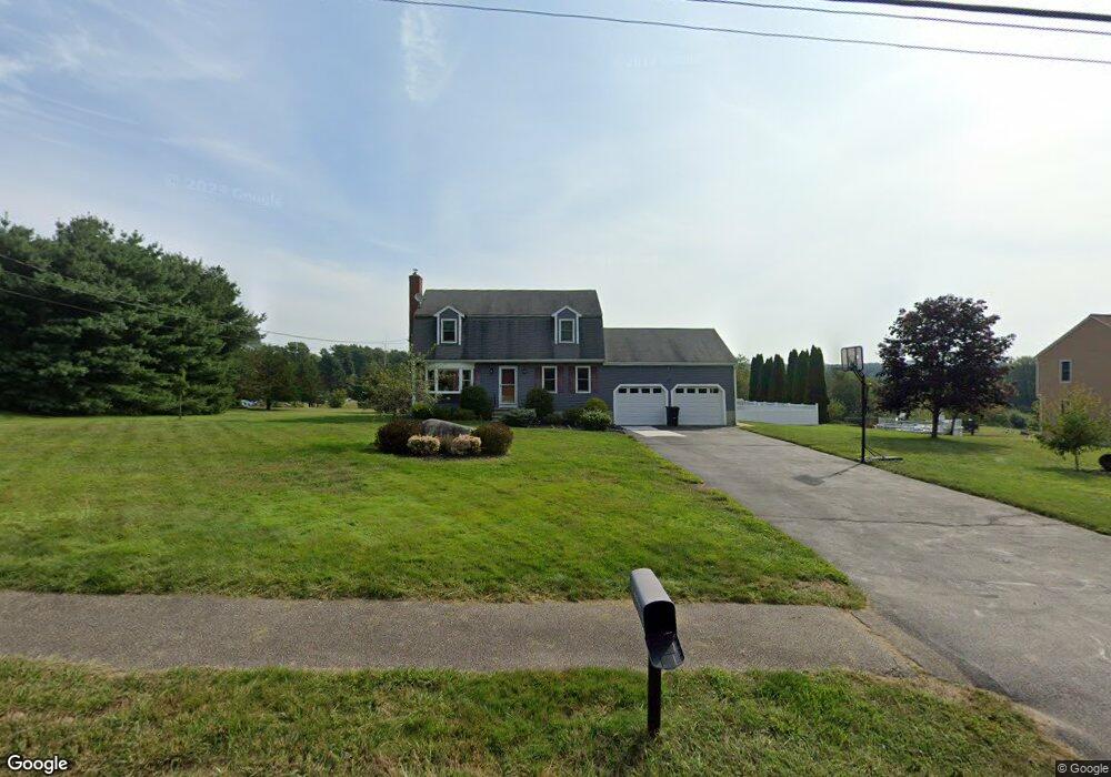
17 Carol Ln Blackstone, MA 01504
Estimated Value: $547,000 - $659,000
3
Beds
2
Baths
1,632
Sq Ft
$363/Sq Ft
Est. Value
About This Home
This home is located at 17 Carol Ln, Blackstone, MA 01504 and is currently estimated at $592,219, approximately $362 per square foot. 17 Carol Ln is a home located in Worcester County with nearby schools including Blackstone-Millville Regional High School.
Ownership History
Date
Name
Owned For
Owner Type
Purchase Details
Closed on
May 11, 2004
Sold by
Laferriere Charlene M and Laferriere Marc R
Bought by
Laferriere Charlene M
Current Estimated Value
Purchase Details
Closed on
Jun 15, 1998
Sold by
Stone James P and Stone Mary A
Bought by
Laferriere Marc R and Laferriere Charlene M
Home Financials for this Owner
Home Financials are based on the most recent Mortgage that was taken out on this home.
Original Mortgage
$154,602
Interest Rate
7.11%
Mortgage Type
Purchase Money Mortgage
Purchase Details
Closed on
Jul 19, 1993
Sold by
D&F Afonso Rt and Afonso Domingos
Bought by
Stone James P and Stone Mary A
Create a Home Valuation Report for This Property
The Home Valuation Report is an in-depth analysis detailing your home's value as well as a comparison with similar homes in the area
Home Values in the Area
Average Home Value in this Area
Purchase History
| Date | Buyer | Sale Price | Title Company |
|---|---|---|---|
| Laferriere Charlene M | -- | -- | |
| Laferriere Marc R | $168,000 | -- | |
| Stone James P | $146,500 | -- |
Source: Public Records
Mortgage History
| Date | Status | Borrower | Loan Amount |
|---|---|---|---|
| Previous Owner | Stone James P | $201,855 | |
| Previous Owner | Stone James P | $150,450 | |
| Previous Owner | Stone James P | $30,000 | |
| Previous Owner | Stone James P | $154,602 |
Source: Public Records
Tax History Compared to Growth
Tax History
| Year | Tax Paid | Tax Assessment Tax Assessment Total Assessment is a certain percentage of the fair market value that is determined by local assessors to be the total taxable value of land and additions on the property. | Land | Improvement |
|---|---|---|---|---|
| 2025 | $7,473 | $494,900 | $184,000 | $310,900 |
| 2024 | $7,089 | $434,100 | $200,700 | $233,400 |
| 2023 | $6,776 | $418,800 | $200,700 | $218,100 |
| 2022 | $6,585 | $367,900 | $165,700 | $202,200 |
| 2021 | $6,531 | $348,900 | $162,600 | $186,300 |
| 2020 | $6,316 | $334,900 | $162,000 | $172,900 |
| 2019 | $4,507 | $323,400 | $150,500 | $172,900 |
| 2018 | $3 | $297,900 | $143,700 | $154,200 |
| 2017 | $5,558 | $288,600 | $143,700 | $144,900 |
| 2016 | $5,537 | $286,300 | $132,200 | $154,100 |
| 2015 | $5,583 | $286,600 | $134,900 | $151,700 |
Source: Public Records
Map
Nearby Homes
- 25 Milk St
- 227 Blackstone St
- 17 Colonial Dr
- 1, 3, 5 Old Lincoln St
- 57 Milk St
- 160 Federal St
- 244 Mendon St
- 162 Blackstone St
- 20 Thayer Rd
- 183-183R Mendon St
- Lot 1 Pickering Rd
- Lot 5 Pickering Rd
- Lot 2 Pickering Rd
- Lot 4 Pickering Rd
- Lot 3 Pickering Rd
- 19 King Philip Path
- 49R Elm St
- 36 Indian Run Rd
- 40 Union St
- 62 Laurel Ln