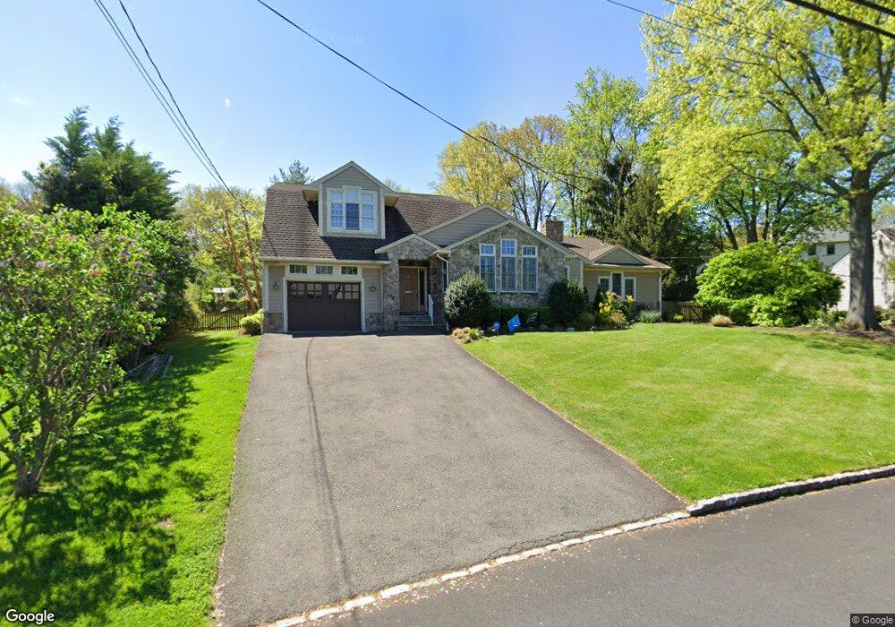
17 Carol Rd Westfield, NJ 07090
Estimated Value: $1,151,000 - $1,868,000
--
Bed
--
Bath
3,990
Sq Ft
$397/Sq Ft
Est. Value
About This Home
This home is located at 17 Carol Rd, Westfield, NJ 07090 and is currently estimated at $1,584,563, approximately $397 per square foot. 17 Carol Rd is a home located in Union County with nearby schools including Wilson Elementary School, Roosevelt Intermediate School, and Westfield Senior High School.
Ownership History
Date
Name
Owned For
Owner Type
Purchase Details
Closed on
Oct 29, 1997
Sold by
Bellman Mary H
Bought by
Kaufman Jill and Kaufman Michael
Current Estimated Value
Create a Home Valuation Report for This Property
The Home Valuation Report is an in-depth analysis detailing your home's value as well as a comparison with similar homes in the area
Home Values in the Area
Average Home Value in this Area
Purchase History
| Date | Buyer | Sale Price | Title Company |
|---|---|---|---|
| Kaufman Jill | $306,000 | -- |
Source: Public Records
Tax History Compared to Growth
Tax History
| Year | Tax Paid | Tax Assessment Tax Assessment Total Assessment is a certain percentage of the fair market value that is determined by local assessors to be the total taxable value of land and additions on the property. | Land | Improvement |
|---|---|---|---|---|
| 2025 | $23,745 | $1,054,400 | $663,800 | $390,600 |
| 2024 | $23,260 | $1,054,400 | $663,800 | $390,600 |
| 2023 | $23,260 | $1,054,400 | $663,800 | $390,600 |
| 2022 | $22,345 | $1,034,500 | $663,800 | $370,700 |
| 2021 | $22,376 | $1,034,500 | $663,800 | $370,700 |
| 2020 | $22,325 | $1,034,500 | $663,800 | $370,700 |
| 2019 | $22,242 | $1,034,500 | $663,800 | $370,700 |
| 2018 | $21,076 | $226,700 | $105,000 | $121,700 |
| 2017 | $20,961 | $226,700 | $105,000 | $121,700 |
| 2016 | $20,469 | $226,700 | $105,000 | $121,700 |
| 2015 | $20,061 | $226,700 | $105,000 | $121,700 |
| 2014 | $19,399 | $226,700 | $105,000 | $121,700 |
Source: Public Records
Map
Nearby Homes
- 41 C Sandra Cir Unit C3
- 58 B Sandra Cir Unit 1
- 820 E Broad St
- 131 Wells St
- 112 Linden Ave
- 766 Oak Ave
- 5 Penn Rd
- 3702 Park Place
- 508 N Chestnut St
- 529 Benson Place
- 645 Kimball Ave
- 1256 Poplar Ave
- 8 Cedar St
- 484 4th Ave Unit 9
- 629 Tremont Ave
- 3 Doering Way
- 401 Brookside Place
- 869 Standish Ave
- 305 Cedar St
- 519 3rd Ave