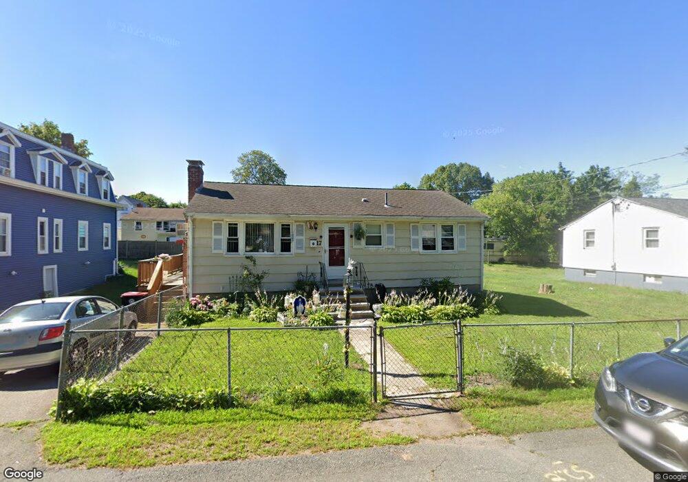
17 Carter St Brockton, MA 02302
Estimated Value: $435,000 - $452,000
3
Beds
1
Bath
888
Sq Ft
$499/Sq Ft
Est. Value
About This Home
This home is located at 17 Carter St, Brockton, MA 02302 and is currently estimated at $443,050, approximately $498 per square foot. 17 Carter St is a home located in Plymouth County with nearby schools including Brookfield Elementary School, Mary E. Baker Elementary School, and Downey Elementary School.
Create a Home Valuation Report for This Property
The Home Valuation Report is an in-depth analysis detailing your home's value as well as a comparison with similar homes in the area
Home Values in the Area
Average Home Value in this Area
Tax History Compared to Growth
Tax History
| Year | Tax Paid | Tax Assessment Tax Assessment Total Assessment is a certain percentage of the fair market value that is determined by local assessors to be the total taxable value of land and additions on the property. | Land | Improvement |
|---|---|---|---|---|
| 2025 | $4,496 | $371,300 | $137,100 | $234,200 |
| 2024 | $4,364 | $363,100 | $137,100 | $226,000 |
| 2023 | $4,307 | $331,800 | $102,400 | $229,400 |
| 2022 | $3,935 | $281,700 | $92,900 | $188,800 |
| 2021 | $3,841 | $264,900 | $76,900 | $188,000 |
| 2020 | $3,824 | $252,400 | $72,400 | $180,000 |
| 2019 | $3,737 | $240,500 | $70,100 | $170,400 |
| 2018 | $3,233 | $201,300 | $70,100 | $131,200 |
| 2017 | $2,983 | $185,300 | $70,100 | $115,200 |
| 2016 | $2,965 | $170,800 | $68,000 | $102,800 |
| 2015 | $2,641 | $145,500 | $68,000 | $77,500 |
| 2014 | $2,660 | $146,700 | $68,000 | $78,700 |
Source: Public Records
Map
Nearby Homes
- 47 Taber Ave
- 120 E Ashland St
- 12 Charles St
- 0 Prospect St
- 9 Waverly St Unit 2
- 58 Hunt St
- 60 Hunt St
- 39 Huntington St
- 560 N Montello St
- 11 Clemens Ave
- 147 Centre St Unit 603
- 147 Centre St Unit 201
- 35 Ida Ave
- 39 Mystic St
- 129 Anawan St
- 18 Walnut St
- 47 Donna St
- 56 N Warren Ave
- 22 Hartley Ave
- 31 Pontiac Rd