17 Cedar Wax Wing Rd Hackettstown, NJ 07840
Estimated Value: $577,178 - $690,000
--
Bed
--
Bath
2,157
Sq Ft
$294/Sq Ft
Est. Value
About This Home
This home is located at 17 Cedar Wax Wing Rd, Hackettstown, NJ 07840 and is currently estimated at $634,795, approximately $294 per square foot. 17 Cedar Wax Wing Rd is a home located in Warren County with nearby schools including Mountain Villa School, Allamuchy Township Elementary School, and Tranquility Adventist School.
Ownership History
Date
Name
Owned For
Owner Type
Purchase Details
Closed on
Oct 8, 2014
Sold by
Connelly Albert J and Renee Connelly L
Bought by
Connelly Albert J and Renee Connelly L
Current Estimated Value
Purchase Details
Closed on
Jul 15, 2013
Sold by
Smith Eldora
Bought by
Connelly Albert J and Renee Connelly L
Purchase Details
Closed on
Jan 8, 2008
Sold by
Smith Joseph W and Smith Eldora
Bought by
Smith Joseph W and Smith Eldora
Create a Home Valuation Report for This Property
The Home Valuation Report is an in-depth analysis detailing your home's value as well as a comparison with similar homes in the area
Home Values in the Area
Average Home Value in this Area
Purchase History
| Date | Buyer | Sale Price | Title Company |
|---|---|---|---|
| Connelly Albert J | -- | None Available | |
| Connelly Albert J | $375,000 | None Available | |
| Smith Joseph W | -- | None Available |
Source: Public Records
Tax History Compared to Growth
Tax History
| Year | Tax Paid | Tax Assessment Tax Assessment Total Assessment is a certain percentage of the fair market value that is determined by local assessors to be the total taxable value of land and additions on the property. | Land | Improvement |
|---|---|---|---|---|
| 2025 | $11,742 | $365,800 | $93,300 | $272,500 |
| 2024 | $12,860 | $365,800 | $93,300 | $272,500 |
| 2023 | $12,630 | $365,800 | $93,300 | $272,500 |
| 2022 | $11,580 | $365,800 | $93,300 | $272,500 |
| 2021 | $8,416 | $365,800 | $93,300 | $272,500 |
| 2020 | $10,802 | $365,800 | $93,300 | $272,500 |
| 2019 | $10,626 | $365,800 | $93,300 | $272,500 |
| 2018 | $12,001 | $365,800 | $93,300 | $272,500 |
| 2017 | $10,740 | $365,800 | $93,300 | $272,500 |
| 2016 | $10,659 | $365,800 | $93,300 | $272,500 |
| 2015 | $12,030 | $365,800 | $93,300 | $272,500 |
| 2014 | $11,775 | $365,800 | $93,300 | $272,500 |
Source: Public Records
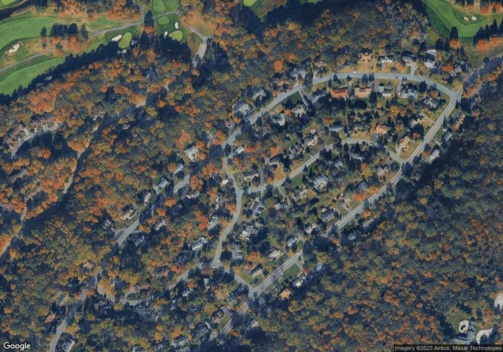
Map
Nearby Homes
- 7 Killdeer Glen
- 11 Killdeer Dr
- 26 Goldfinch Dr
- 41 Killdeer Place
- 108 Goldfinch Meadows
- 15 Ajax Ct
- 5 Ajax Ct
- 11 Pheasant Run
- 57 Marsh Hawk Unit 8
- 17 Alexanders Rd
- 25 Osprey Unit C2G3
- 156 Osprey Unit 5
- 10 Rushmore Ln
- 21 Junegrass Way Unit 1921
- 7 Poplar Ct
- 300 Alphano Rd
- 7 Canada Goose Dr
- 25 Green Heron Dr
- 41 Green Heron Dr
- 44 Wood Duck Ct Unit 135
- 20 Mockingbird
- 15 Cedar Wax Wing Rd
- 14 Cedar Wax Wing Rd
- 1 Brown Thrasher
- 3 Brown Thrasher
- 18 Mockingbird
- 12 Cedar Wax Wing Rd
- 11 Cedar Wax Wing Rd
- 10 Cedar Wax Wing Rd
- 10 Cedar Waxwing Rd
- 27 Mockingbird
- 8 Brown Thrasher
- 25 Mockingbird
- 24 Mockingbird
- 16 Mockingbird
- 5 Brown Thrasher
- 29 Mockingbird
- 23 Mockingbird
- 8 Cedar Wax Wing Rd
- 9 Cedar Wax Wing Rd