17 Charles St Georgetown, MA 01833
Estimated Value: $772,139 - $864,000
3
Beds
3
Baths
1,878
Sq Ft
$430/Sq Ft
Est. Value
About This Home
This home is located at 17 Charles St, Georgetown, MA 01833 and is currently estimated at $808,285, approximately $430 per square foot. 17 Charles St is a home located in Essex County with nearby schools including Perley Elementary School, Penn Brook School, and Georgetown High School.
Ownership History
Date
Name
Owned For
Owner Type
Purchase Details
Closed on
Dec 27, 1995
Sold by
Lee James E and Lee Karen
Bought by
Waybright Eric A and Waybright Deborah
Current Estimated Value
Purchase Details
Closed on
Mar 10, 1994
Sold by
Est Crosson Sharon and Gray Stephen
Bought by
Lee James E and Lee Karen L
Create a Home Valuation Report for This Property
The Home Valuation Report is an in-depth analysis detailing your home's value as well as a comparison with similar homes in the area
Home Values in the Area
Average Home Value in this Area
Purchase History
| Date | Buyer | Sale Price | Title Company |
|---|---|---|---|
| Waybright Eric A | $165,000 | -- | |
| Lee James E | $152,000 | -- |
Source: Public Records
Mortgage History
| Date | Status | Borrower | Loan Amount |
|---|---|---|---|
| Open | Lee James E | $185,000 | |
| Closed | Lee James E | $225,000 | |
| Closed | Lee James E | $75,000 | |
| Closed | Lee James E | $150,000 |
Source: Public Records
Tax History Compared to Growth
Tax History
| Year | Tax Paid | Tax Assessment Tax Assessment Total Assessment is a certain percentage of the fair market value that is determined by local assessors to be the total taxable value of land and additions on the property. | Land | Improvement |
|---|---|---|---|---|
| 2025 | $8,506 | $769,100 | $307,900 | $461,200 |
| 2024 | $7,918 | $630,900 | $212,400 | $418,500 |
| 2023 | $7,726 | $595,200 | $212,400 | $382,800 |
| 2022 | $7,295 | $518,100 | $184,700 | $333,400 |
| 2021 | $8,233 | $518,100 | $184,700 | $333,400 |
| 2020 | $7,818 | $491,100 | $184,700 | $306,400 |
| 2019 | $7,587 | $480,800 | $181,100 | $299,700 |
| 2018 | $6,458 | $406,700 | $181,100 | $225,600 |
| 2017 | $6,593 | $406,700 | $181,100 | $225,600 |
| 2016 | $6,454 | $406,700 | $181,100 | $225,600 |
| 2015 | $6,016 | $375,300 | $181,100 | $194,200 |
| 2014 | $5,273 | $375,300 | $181,100 | $194,200 |
Source: Public Records
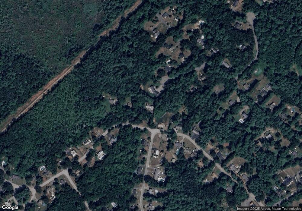
Map
Nearby Homes
- 5 Charles St
- 15 Knobb Hill
- 13 Main St
- 66 Parish Rd Unit 4
- 18 Forest St
- 17 Church St
- 34 Central St
- 33 Downfall Rd
- 38 Pearson Dr
- 8 Molloy Rd
- 55 Pearson Dr Unit 9 - ALDER
- 55 Pearson Dr Unit 8-Dogwood
- 55 Pearson Dr Unit 11-Chestnut
- 55 Pearson Dr Unit 6-Dogwood
- 69 Pond St
- 51 W Main St Unit 6
- 11 Central St
- 36 Caldwell Farm Rd
- 64 Caldwell Farm Rd Unit 64
- 206 W Main St Unit 5