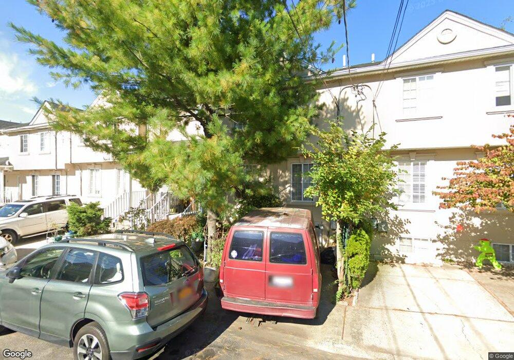
17 Chrissy Ct Staten Island, NY 10310
West Brighton NeighborhoodEstimated Value: $551,232 - $631,000
--
Bed
4
Baths
1,250
Sq Ft
$484/Sq Ft
Est. Value
About This Home
This home is located at 17 Chrissy Ct, Staten Island, NY 10310 and is currently estimated at $605,058, approximately $484 per square foot. 17 Chrissy Ct is a home located in Richmond County with nearby schools including P.S. 19 The Curtis School, Intermediate School 27, and Susan E Wagner High School.
Ownership History
Date
Name
Owned For
Owner Type
Purchase Details
Closed on
Feb 3, 2000
Sold by
Clove Lakes Development Corp
Bought by
Lucas Annulfo R and Lucas Evangelina
Current Estimated Value
Home Financials for this Owner
Home Financials are based on the most recent Mortgage that was taken out on this home.
Original Mortgage
$130,000
Interest Rate
8.21%
Create a Home Valuation Report for This Property
The Home Valuation Report is an in-depth analysis detailing your home's value as well as a comparison with similar homes in the area
Home Values in the Area
Average Home Value in this Area
Purchase History
| Date | Buyer | Sale Price | Title Company |
|---|---|---|---|
| Lucas Annulfo R | $182,000 | First American Title Ins Co |
Source: Public Records
Mortgage History
| Date | Status | Borrower | Loan Amount |
|---|---|---|---|
| Closed | Lucas Annulfo R | $130,000 |
Source: Public Records
Tax History Compared to Growth
Tax History
| Year | Tax Paid | Tax Assessment Tax Assessment Total Assessment is a certain percentage of the fair market value that is determined by local assessors to be the total taxable value of land and additions on the property. | Land | Improvement |
|---|---|---|---|---|
| 2025 | $4,855 | $36,360 | $3,936 | $32,424 |
| 2024 | $4,867 | $35,220 | $3,834 | $31,386 |
| 2023 | $4,909 | $25,574 | $4,114 | $21,460 |
| 2022 | $4,780 | $29,340 | $5,280 | $24,060 |
| 2021 | $4,736 | $24,600 | $5,280 | $19,320 |
| 2020 | $4,486 | $24,600 | $5,280 | $19,320 |
| 2019 | $4,165 | $22,140 | $5,280 | $16,860 |
| 2018 | $4,047 | $21,312 | $4,821 | $16,491 |
| 2017 | $4,012 | $21,151 | $4,963 | $16,188 |
| 2016 | $3,679 | $19,954 | $4,988 | $14,966 |
| 2015 | $3,103 | $18,825 | $4,363 | $14,462 |
| 2014 | $3,103 | $17,760 | $4,380 | $13,380 |
Source: Public Records
Map
Nearby Homes
- 704 Delafield Ave
- 448 Clove Rd
- 6 Ludwig St
- 10 Ludwig St
- 771 Delafield Ave
- 433 Clove Rd
- 657 Delafield Ave
- 123 Roe St
- 109 Lyceum Ct
- 62 Lyceum Ct
- 837 Delafield Ave Unit A
- 12 Freeman Place
- 582 Cary Ave
- 61 Greenleaf Ave
- 722 Post Ave
- 886 Delafield Ave
- 46 Elizabeth St
- 176 Dubois Ave
- 246 Dubois Ave
- 361 Broadway