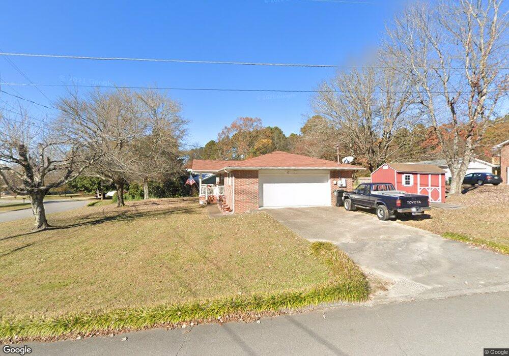
17 Cindy Cir Ringgold, GA 30736
Westside NeighborhoodEstimated Value: $274,000 - $282,000
3
Beds
2
Baths
1,431
Sq Ft
$193/Sq Ft
Est. Value
About This Home
This home is located at 17 Cindy Cir, Ringgold, GA 30736 and is currently estimated at $276,598, approximately $193 per square foot. 17 Cindy Cir is a home located in Catoosa County with nearby schools including West Side Elementary School, Lakeview Middle School, and Lakeview-Fort Oglethorpe High School.
Ownership History
Date
Name
Owned For
Owner Type
Purchase Details
Closed on
Dec 9, 2009
Sold by
Covenant Bank
Bought by
Webb Robert
Current Estimated Value
Purchase Details
Closed on
Sep 1, 2009
Sold by
Hodge Blake E
Bought by
Covenant Bank & Trust
Purchase Details
Closed on
Dec 4, 2008
Sold by
Schwantes Arthur G
Bought by
Hodge Blake
Home Financials for this Owner
Home Financials are based on the most recent Mortgage that was taken out on this home.
Original Mortgage
$94,945
Interest Rate
6.1%
Mortgage Type
New Conventional
Create a Home Valuation Report for This Property
The Home Valuation Report is an in-depth analysis detailing your home's value as well as a comparison with similar homes in the area
Home Values in the Area
Average Home Value in this Area
Purchase History
| Date | Buyer | Sale Price | Title Company |
|---|---|---|---|
| Webb Robert | $102,000 | -- | |
| Covenant Bank & Trust | -- | -- | |
| Hodge Blake | $88,500 | -- |
Source: Public Records
Mortgage History
| Date | Status | Borrower | Loan Amount |
|---|---|---|---|
| Previous Owner | Hodge Blake | $94,945 |
Source: Public Records
Tax History Compared to Growth
Tax History
| Year | Tax Paid | Tax Assessment Tax Assessment Total Assessment is a certain percentage of the fair market value that is determined by local assessors to be the total taxable value of land and additions on the property. | Land | Improvement |
|---|---|---|---|---|
| 2024 | $507 | $84,619 | $9,559 | $75,060 |
| 2023 | $275 | $65,809 | $9,559 | $56,250 |
| 2022 | $346 | $51,109 | $9,559 | $41,550 |
| 2021 | $275 | $51,109 | $9,559 | $41,550 |
| 2020 | $961 | $41,539 | $9,559 | $31,980 |
| 2019 | $243 | $41,539 | $9,559 | $31,980 |
| 2018 | $979 | $39,627 | $7,647 | $31,980 |
| 2017 | $246 | $39,417 | $7,647 | $31,770 |
| 2016 | $711 | $37,124 | $7,647 | $29,477 |
| 2015 | -- | $37,124 | $7,647 | $29,477 |
| 2014 | -- | $37,124 | $7,647 | $29,477 |
| 2013 | -- | $37,123 | $7,646 | $29,476 |
Source: Public Records
Map
Nearby Homes
- 325 Cindy Cir
- 224 N Brent Dr
- 27 Templin Hills Ln
- 51 Poppy Ln
- 103 N Pointe Rd
- 394 Pierce Dr
- 361 Gracie Ave
- 137 Elm Ave
- 35 Karen Dr
- 354 Karen Dr
- 21 Breezewood Rd
- 0 Old Mill Rd Unit 1507874
- 618 Larry Dr
- 204 Mitchell Ln
- 199 Mitchell Ln
- 615 Larry Dr
- 137 Winchester Dr
- 98 Winchester Dr
- 162 Huntley Meadows Dr
- 102 Water Mill Trace