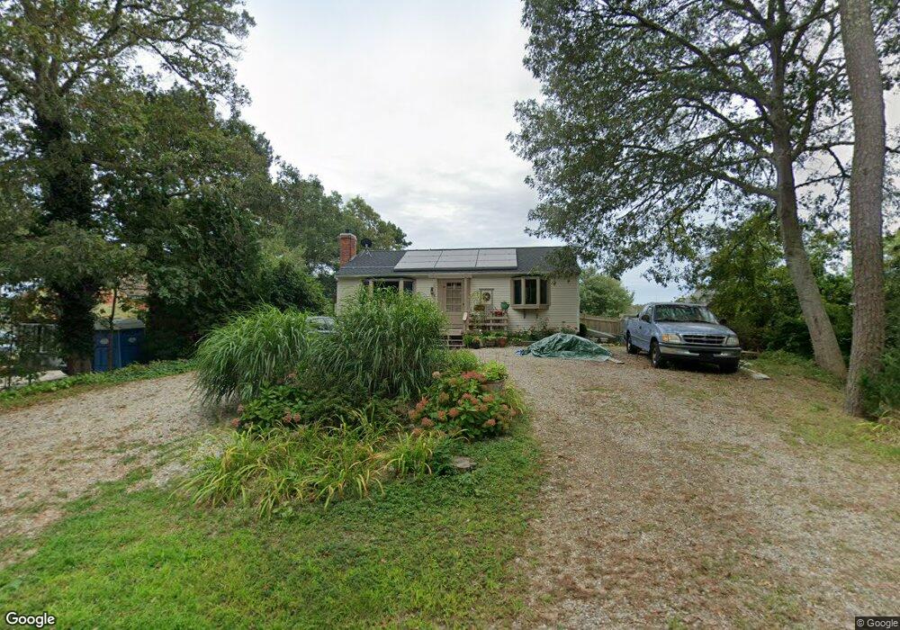
17 Circuit Rd West Yarmouth, MA 02673
South Yarmouth NeighborhoodEstimated Value: $527,000 - $579,463
2
Beds
1
Bath
952
Sq Ft
$581/Sq Ft
Est. Value
About This Home
This home is located at 17 Circuit Rd, West Yarmouth, MA 02673 and is currently estimated at $553,116, approximately $581 per square foot. 17 Circuit Rd is a home located in Barnstable County with nearby schools including Dennis-Yarmouth Regional High School and Kiddie Kollege Early Learning Center.
Ownership History
Date
Name
Owned For
Owner Type
Purchase Details
Closed on
Jun 28, 2011
Sold by
Smith Elsie M
Bought by
Smith Ft
Current Estimated Value
Purchase Details
Closed on
Jul 28, 1999
Sold by
Norgeot Walter D
Bought by
Monroe David and Monroe Maureene
Home Financials for this Owner
Home Financials are based on the most recent Mortgage that was taken out on this home.
Original Mortgage
$94,400
Interest Rate
7.61%
Mortgage Type
Purchase Money Mortgage
Purchase Details
Closed on
May 27, 1993
Sold by
Mcbride James M and Mcbride Marjorie
Bought by
Kelly Brenda
Home Financials for this Owner
Home Financials are based on the most recent Mortgage that was taken out on this home.
Original Mortgage
$42,500
Interest Rate
7.41%
Mortgage Type
Purchase Money Mortgage
Create a Home Valuation Report for This Property
The Home Valuation Report is an in-depth analysis detailing your home's value as well as a comparison with similar homes in the area
Home Values in the Area
Average Home Value in this Area
Purchase History
| Date | Buyer | Sale Price | Title Company |
|---|---|---|---|
| Smith Ft | -- | -- | |
| Monroe David | $105,000 | -- | |
| Kelly Brenda | $62,500 | -- |
Source: Public Records
Mortgage History
| Date | Status | Borrower | Loan Amount |
|---|---|---|---|
| Previous Owner | Kelly Brenda | $150,942 | |
| Previous Owner | Kelly Brenda | $94,400 | |
| Previous Owner | Kelly Brenda | $42,500 |
Source: Public Records
Tax History Compared to Growth
Tax History
| Year | Tax Paid | Tax Assessment Tax Assessment Total Assessment is a certain percentage of the fair market value that is determined by local assessors to be the total taxable value of land and additions on the property. | Land | Improvement |
|---|---|---|---|---|
| 2025 | $3,789 | $535,100 | $285,500 | $249,600 |
| 2024 | $3,914 | $530,300 | $301,100 | $229,200 |
| 2023 | $3,823 | $471,400 | $268,400 | $203,000 |
| 2022 | $3,698 | $402,800 | $241,400 | $161,400 |
| 2021 | $3,615 | $378,100 | $241,400 | $136,700 |
| 2020 | $3,678 | $367,800 | $241,100 | $126,700 |
| 2019 | $3,528 | $349,300 | $241,100 | $108,200 |
| 2018 | $3,135 | $304,700 | $196,500 | $108,200 |
| 2017 | $3,041 | $303,500 | $196,500 | $107,000 |
| 2016 | $2,850 | $285,600 | $178,600 | $107,000 |
| 2015 | $2,756 | $274,500 | $178,600 | $95,900 |
Source: Public Records
Map
Nearby Homes
- 274 Winslow Gray Rd
- 33 Lake Rd
- 23 Circuit Rd N
- 844 Route 28 Unit 2A
- 844 Route 28 Unit 9B
- 844 Route 28 Unit 2A
- 68 Bob-O-link Ln
- 27 Angus Ave
- 11 Bob-O-link Ln
- 17 Angus Ave
- 24 Fast Brook Rd
- 26 Howes Rd
- 8 Rogers Ave
- 2 Candlewood Ln
- 54 Boxberry Ln
- 55 Pawkannawkut Dr
- 2 Ocean Spray Ln
- 3 Saturn Ln
- 3 Andy Ln
- 17 South St