17 Colburn Ln Trevett, ME 04571
Estimated Value: $957,596 - $1,726,000
3
Beds
3
Baths
1,120
Sq Ft
$1,181/Sq Ft
Est. Value
About This Home
This home is located at 17 Colburn Ln, Trevett, ME 04571 and is currently estimated at $1,323,149, approximately $1,181 per square foot. 17 Colburn Ln is a home with nearby schools including Boothbay Region Elementary School and Boothbay Region High School.
Ownership History
Date
Name
Owned For
Owner Type
Purchase Details
Closed on
Aug 15, 2016
Sold by
Kates T T and Kates Saunders
Bought by
Hantzis Kathleen M and Hantzis Steven J
Current Estimated Value
Home Financials for this Owner
Home Financials are based on the most recent Mortgage that was taken out on this home.
Original Mortgage
$415,650
Outstanding Balance
$331,640
Interest Rate
3.48%
Mortgage Type
New Conventional
Estimated Equity
$991,509
Create a Home Valuation Report for This Property
The Home Valuation Report is an in-depth analysis detailing your home's value as well as a comparison with similar homes in the area
Home Values in the Area
Average Home Value in this Area
Purchase History
| Date | Buyer | Sale Price | Title Company |
|---|---|---|---|
| Hantzis Kathleen M | -- | -- | |
| Hantzis Kathleen M | -- | -- | |
| Hantzis Kathleen M | -- | -- |
Source: Public Records
Mortgage History
| Date | Status | Borrower | Loan Amount |
|---|---|---|---|
| Open | Hantzis Kathleen M | $415,650 | |
| Closed | Hantzis Kathleen M | $415,650 |
Source: Public Records
Tax History Compared to Growth
Tax History
| Year | Tax Paid | Tax Assessment Tax Assessment Total Assessment is a certain percentage of the fair market value that is determined by local assessors to be the total taxable value of land and additions on the property. | Land | Improvement |
|---|---|---|---|---|
| 2024 | $6,266 | $552,041 | $263,200 | $288,841 |
| 2023 | $5,548 | $552,041 | $263,200 | $288,841 |
| 2022 | $5,134 | $552,041 | $263,200 | $288,841 |
| 2021 | $5,272 | $552,041 | $263,200 | $288,841 |
| 2020 | $5,300 | $552,041 | $263,200 | $288,841 |
| 2019 | $5,217 | $552,041 | $263,200 | $288,841 |
| 2018 | $5,134 | $552,041 | $263,200 | $288,841 |
| 2017 | $5,345 | $581,000 | $263,400 | $317,600 |
| 2016 | $5,113 | $581,000 | $263,400 | $317,600 |
| 2015 | $5,084 | $581,000 | $263,400 | $317,600 |
| 2014 | $4,939 | $581,000 | $263,400 | $317,600 |
Source: Public Records
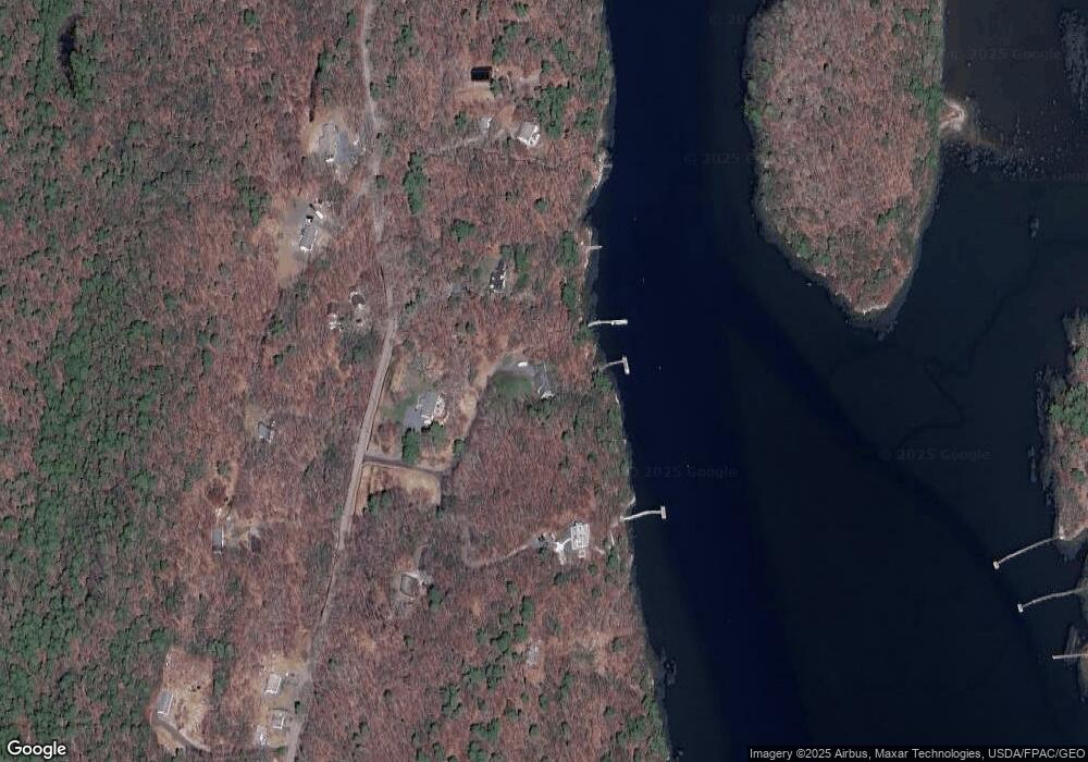
Map
Nearby Homes
- 23 Sunny Acres Ln
- 576 Back River Rd
- 712 Back River Rd
- M4 L12.30B McCarty Cove Rd
- 24 Kimballtown Rd
- 44 Stone Point Ln
- 19 Riverside Ave
- 32 Murray Hill Rd
- 0 Maine 144
- 96 Forest Haven Rd
- 44-4 Windrush Ln
- 9 Skylers Way
- 934 Wiscasset Rd
- 18 High Head Rd
- 494 Wiscasset Rd
- 447 Wiscasset Rd
- 50 Hardwick Rd
- 15 Lewis Dr
- 4 Reed Ln
- 5 Hillside Place Unit 2
- 17 Colburn Ln
- Lot # 10 Eastside Rd
- 74 E Seaside Way
- 74 E Side Rd
- Lot #5 E Side Rd
- 9 Colburn Ln
- 75 E Side Rd
- 65 E Side Rd
- 94 E Seaside Way
- 5 Great Oak Ln
- 5 Great Oak Ln
- 120 E Side Rd
- 0 E Side Rd Unit 839381
- 0 E Side Rd Unit 732403
- 0 E Side Rd Unit 708960
- 0 E Side Rd Unit 252332
- 0 E Side Rd Unit 193165
- 0 E Side Rd Unit 179007
- 0 E Side Rd Unit 279586
- 0 E Side Rd Unit 559447