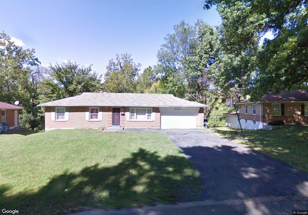
17 Colchester Dr Saint Louis, MO 63135
Estimated Value: $187,000 - $218,000
3
Beds
2
Baths
1,658
Sq Ft
$123/Sq Ft
Est. Value
About This Home
This home is located at 17 Colchester Dr, Saint Louis, MO 63135 and is currently estimated at $203,902, approximately $122 per square foot. 17 Colchester Dr is a home located in St. Louis County with nearby schools including Lee Hamilton Elementary School, Ferguson Middle School, and McCluer High School.
Ownership History
Date
Name
Owned For
Owner Type
Purchase Details
Closed on
Apr 28, 2015
Sold by
Bruce W Davis Llc
Bought by
Conlon Gary and Conlon Carrie
Current Estimated Value
Home Financials for this Owner
Home Financials are based on the most recent Mortgage that was taken out on this home.
Original Mortgage
$85,000
Outstanding Balance
$49,157
Interest Rate
3.84%
Mortgage Type
Seller Take Back
Estimated Equity
$154,745
Purchase Details
Closed on
May 24, 2013
Sold by
Howard Shirley and Davis Bruce W
Bought by
Bruce W Davis Llc
Purchase Details
Closed on
May 25, 2010
Sold by
Davis Bruce W
Bought by
Howard Shirley
Home Financials for this Owner
Home Financials are based on the most recent Mortgage that was taken out on this home.
Original Mortgage
$122,500
Interest Rate
5%
Mortgage Type
Purchase Money Mortgage
Create a Home Valuation Report for This Property
The Home Valuation Report is an in-depth analysis detailing your home's value as well as a comparison with similar homes in the area
Home Values in the Area
Average Home Value in this Area
Purchase History
| Date | Buyer | Sale Price | Title Company |
|---|---|---|---|
| Conlon Gary | $86,000 | Investors Title Company | |
| Bruce W Davis Llc | $80,000 | Lafayette Title Company | |
| Howard Shirley | $135,000 | None Available |
Source: Public Records
Mortgage History
| Date | Status | Borrower | Loan Amount |
|---|---|---|---|
| Open | Conlon Gary | $85,000 | |
| Previous Owner | Howard Shirley | $122,500 |
Source: Public Records
Tax History Compared to Growth
Tax History
| Year | Tax Paid | Tax Assessment Tax Assessment Total Assessment is a certain percentage of the fair market value that is determined by local assessors to be the total taxable value of land and additions on the property. | Land | Improvement |
|---|---|---|---|---|
| 2025 | $2,327 | $38,880 | $4,470 | $34,410 |
| 2024 | $2,327 | $32,260 | $2,660 | $29,600 |
| 2023 | $2,314 | $32,260 | $2,660 | $29,600 |
| 2022 | $2,207 | $26,810 | $2,950 | $23,860 |
| 2021 | $2,136 | $26,810 | $2,950 | $23,860 |
| 2020 | $2,012 | $22,680 | $3,910 | $18,770 |
| 2019 | $1,973 | $22,680 | $3,910 | $18,770 |
| 2018 | $1,648 | $16,850 | $2,770 | $14,080 |
| 2017 | $1,616 | $16,850 | $2,770 | $14,080 |
| 2016 | $1,834 | $18,860 | $2,770 | $16,090 |
| 2015 | $1,846 | $18,860 | $2,770 | $16,090 |
| 2014 | -- | $16,550 | $3,780 | $12,770 |
Source: Public Records
Map
Nearby Homes
- 1226 Beaver Trail Dr
- 6 Sandringham Ln
- 655 Hunters Ridge Dr
- 15 Lake Pembroke Dr
- 941 N Elizabeth Ave
- 716 Nancy Place
- 401 Calverton Rd
- 823 Le Maisson Dr
- 810 Chateau Valley Ct
- 8 Buckeye Dr
- 601 Chanslor Ave
- 429 N Clay Ave
- 615 Superior Dr
- 16 White Dr
- 18 White Dr
- 610 Superior Dr
- 925 Dyerdown Ave
- 405 Teston Dr
- 127 Thoroughman Ave
- 222 Wooster Dr
- 19 Colchester Dr
- 15 Colchester Dr
- 50 E Cardigan Dr
- 11 Colchester Dr
- 21 Colchester Dr
- 1201 Beaver Trail Dr
- 16 Colchester Dr
- 508 Hunters Ridge Dr
- 9 Colchester Dr
- 23 Colchester Dr
- 20 Colchester Dr
- 9 Bromley Dr
- 52 E Cardigan Dr
- 54 E Cardigan Dr
- 1207 Beaver Trail Dr
- 7 Bromley Dr
- 7 Colchester Dr
- 516 Hunters Ridge Dr
- 22 Colchester Dr
- 25 Colchester Dr