17 Colony Rd Readfield, ME 04355
Estimated Value: $368,000 - $590,000
2
Beds
1
Bath
1,048
Sq Ft
$438/Sq Ft
Est. Value
About This Home
This home is located at 17 Colony Rd, Readfield, ME 04355 and is currently estimated at $458,992, approximately $437 per square foot. 17 Colony Rd is a home.
Ownership History
Date
Name
Owned For
Owner Type
Purchase Details
Closed on
Mar 6, 2025
Sold by
Ryan Gregory R and Ryan Jeffrey M
Bought by
Loon Shack Associates Llc
Current Estimated Value
Purchase Details
Closed on
Mar 3, 2025
Sold by
Robert R Ryan 2007 Ret and Ryan
Bought by
Loon Shack Associates Llc
Purchase Details
Closed on
Aug 18, 2023
Sold by
Robert R Ryan 2007 Ret and Ryan
Bought by
Ryan Gregory R and Ryan Jeffrey M
Purchase Details
Closed on
Dec 2, 2009
Sold by
R L & E Ellis Lt and Ellis
Bought by
Robert R Ryan Ret and Ryan
Purchase Details
Closed on
Jun 18, 2007
Sold by
Ryan Rosemary D and Ryan Robert R
Bought by
Robert R Ryan Ret and Ryan
Create a Home Valuation Report for This Property
The Home Valuation Report is an in-depth analysis detailing your home's value as well as a comparison with similar homes in the area
Home Values in the Area
Average Home Value in this Area
Purchase History
| Date | Buyer | Sale Price | Title Company |
|---|---|---|---|
| Loon Shack Associates Llc | -- | None Available | |
| Loon Shack Associates Llc | -- | None Available | |
| Loon Shack Associates Llc | -- | None Available | |
| Loon Shack Associates Llc | -- | None Available | |
| Loon Shack Associates Llc | -- | None Available | |
| Loon Shack Associates Llc | -- | None Available | |
| Ryan Gregory R | -- | None Available | |
| Ryan Gregory R | -- | None Available | |
| Ryan Gregory R | -- | None Available | |
| Robert R Ryan Ret | -- | -- | |
| Robert R Ryan Ret | -- | -- | |
| Robert R Ryan Ret | -- | -- | |
| Robert R Ryan Ret | -- | -- |
Source: Public Records
Tax History
| Year | Tax Paid | Tax Assessment Tax Assessment Total Assessment is a certain percentage of the fair market value that is determined by local assessors to be the total taxable value of land and additions on the property. | Land | Improvement |
|---|---|---|---|---|
| 2024 | $4,111 | $307,000 | $159,600 | $147,400 |
| 2023 | $3,820 | $269,800 | $140,300 | $129,500 |
| 2022 | $2,758 | $241,900 | $125,800 | $116,100 |
| 2021 | $3,526 | $223,300 | $116,100 | $107,200 |
| 2020 | $3,597 | $204,700 | $106,400 | $98,300 |
| 2019 | $3,638 | $186,100 | $96,800 | $89,300 |
| 2018 | $3,618 | $186,100 | $96,800 | $89,300 |
| 2017 | $3,590 | $186,100 | $96,800 | $89,300 |
| 2015 | $3,365 | $186,100 | $96,800 | $89,300 |
| 2014 | $3,443 | $186,100 | $96,800 | $89,300 |
Source: Public Records
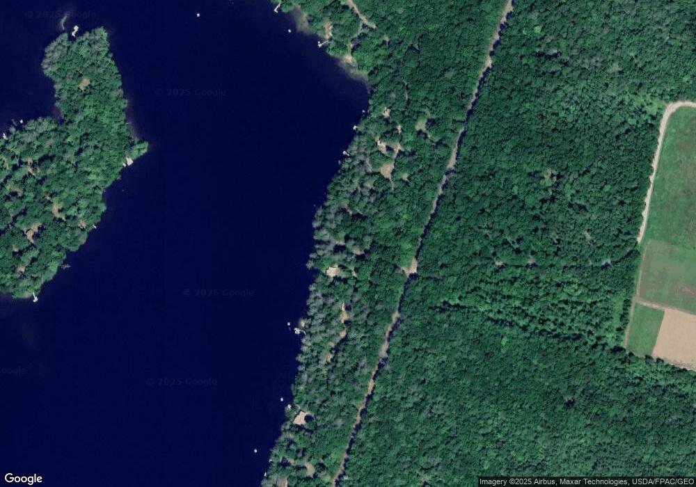
Map
Nearby Homes
- 9 Russell St
- 36 Morrill Rd
- 10 Short St Unit 12
- 882 Memorial Dr
- 155 Old Kents Hill Rd
- 90 Bearce Rd
- 283 Church Rd
- 1477 Main St
- 135 P Ridge Rd
- 364 Metcalf Rd
- 60 Route 41
- 32 Roddy Ln
- 974 Sturtevant Hill Rd
- 36 Mountain View Ln
- 616 Stanley Rd
- 625 Plains Rd
- 64 Pineland Dr
- 14 Meadow View Dr
- 4 Meadow View Dr
- 12 Meadow View Dr
- 7 Colony Rd
- 11 Colony Rd
- 22 Colony Rd
- 3 Colony Rd
- 25 Colony Rd
- 31 Colony Rd
- 78 Lazy Loon Rd
- 0 Colony
- 43 Colony Rd
- 35 Colony Rd
- 39 Colony Rd
- 47 Colony Rd
- 96 Lazy Loon Rd
- 51 Colony Rd
- Lots 53-58 Lazy Loon Rd
- Lots 47-52 Lazy Loon Rd
- 92 Thorp Shores Rd
- 148 Packard Shores Rd
- 98 Thorp Shores Rd
- 96 Thorp Shores Rd
Your Personal Tour Guide
Ask me questions while you tour the home.