17 Comstock Ave Uncasville, CT 06382
Estimated Value: $430,000 - $678,000
3
Beds
2
Baths
2,704
Sq Ft
$194/Sq Ft
Est. Value
About This Home
This home is located at 17 Comstock Ave, Uncasville, CT 06382 and is currently estimated at $525,202, approximately $194 per square foot. 17 Comstock Ave is a home with nearby schools including Leonard J. Tyl Middle School, Montville High School, and Bradley School-New London Regional.
Ownership History
Date
Name
Owned For
Owner Type
Purchase Details
Closed on
Jan 21, 2016
Sold by
Macgregor Tamara J
Bought by
Macgregor Scott R
Current Estimated Value
Purchase Details
Closed on
Oct 27, 2011
Sold by
Macgregor Scott R
Bought by
Macgregor Scott R and Macgregor Tamara J
Create a Home Valuation Report for This Property
The Home Valuation Report is an in-depth analysis detailing your home's value as well as a comparison with similar homes in the area
Home Values in the Area
Average Home Value in this Area
Purchase History
| Date | Buyer | Sale Price | Title Company |
|---|---|---|---|
| Macgregor Scott R | -- | -- | |
| Macgregor Scott R | -- | -- | |
| Macgregor Tamara J | -- | -- |
Source: Public Records
Mortgage History
| Date | Status | Borrower | Loan Amount |
|---|---|---|---|
| Previous Owner | Macgregor Scott R | $196,000 |
Source: Public Records
Tax History
| Year | Tax Paid | Tax Assessment Tax Assessment Total Assessment is a certain percentage of the fair market value that is determined by local assessors to be the total taxable value of land and additions on the property. | Land | Improvement |
|---|---|---|---|---|
| 2025 | $5,827 | $249,450 | $88,190 | $161,260 |
| 2024 | $5,563 | $249,450 | $88,190 | $161,260 |
| 2023 | $5,288 | $249,450 | $88,190 | $161,260 |
| 2022 | $5,149 | $186,830 | $62,750 | $124,080 |
| 2021 | $5,164 | $186,830 | $62,750 | $124,080 |
| 2020 | $5,207 | $186,830 | $62,750 | $124,080 |
| 2019 | $5,228 | $186,830 | $62,750 | $124,080 |
| 2018 | $5,123 | $186,830 | $62,750 | $124,080 |
| 2017 | $5,120 | $189,410 | $55,780 | $133,630 |
| 2016 | $5,072 | $189,410 | $55,780 | $133,630 |
| 2015 | $4,892 | $189,410 | $55,780 | $133,630 |
| 2014 | $4,892 | $189,410 | $55,780 | $133,630 |
Source: Public Records
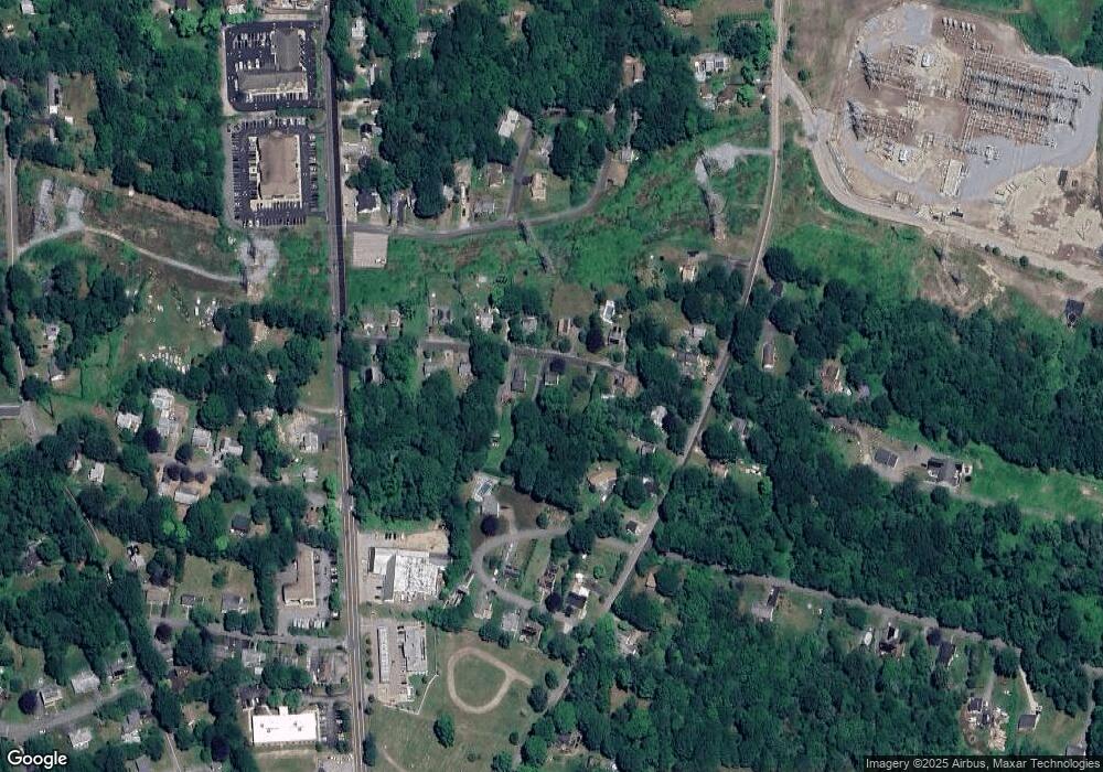
Map
Nearby Homes
- 4 Brewer St
- 197 Norwich-New London Turnpike
- 11 Blumenthal Dr
- 19 Moxley Rd
- 14 Bluff Rd
- 593 Mohegan Avenue Pkwy
- 168 Kitemaug Rd
- 153 Old Norwich Rd
- 292 Old Colchester Rd
- 18 Hillcrest Dr
- 16 Greystone Dr
- 39 Inchcliffe Dr
- 1581 Route 12
- 66 Rainbow Dr
- 17 Patricia Ct
- 0 Monahan Dr
- 31 Bridge St
- 82 Christy Hill Rd
- 1637 Connecticut 12
- 165 Massapeag Rd
- 21 Comstock Ave
- 11 Comstock Ave
- 14 Comstock Ave
- 18 Comstock Ave
- 22 Comstock Ave
- 28 Comstock Ave
- 7 Comstock Ave
- 10 Comstock Ave
- 60 Lathrop Rd
- 14 Green Hills Rd
- 18 Green Hills Rd
- 56 Lathrop Rd
- 9 Norwich New London Turnpike
- 58 Lathrop Rd
- 23 Norwich New London Turnpike
- 62 Lathrop Rd
- 54 Lathrop Rd
- 16 Hewitt Dr
- 66 Lathrop Rd
- 7 Green Hills Rd
Your Personal Tour Guide
Ask me questions while you tour the home.