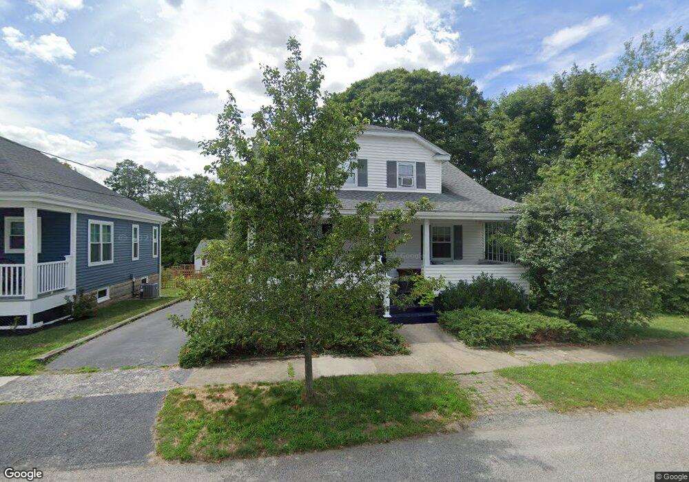
17 Cumberland Rd Riverside, RI 02915
Boyden Heights NeighborhoodEstimated Value: $481,000 - $493,430
4
Beds
1
Bath
1,428
Sq Ft
$343/Sq Ft
Est. Value
About This Home
This home is located at 17 Cumberland Rd, Riverside, RI 02915 and is currently estimated at $489,608, approximately $342 per square foot. 17 Cumberland Rd is a home located in Providence County with nearby schools including East Providence High School, St Mary Academy-Bay View, and The Gordon School.
Ownership History
Date
Name
Owned For
Owner Type
Purchase Details
Closed on
Dec 26, 2001
Sold by
Boudreau Dorothy Est and Allen
Bought by
Lord Cynthia
Current Estimated Value
Home Financials for this Owner
Home Financials are based on the most recent Mortgage that was taken out on this home.
Original Mortgage
$120,000
Interest Rate
6.61%
Mortgage Type
Purchase Money Mortgage
Create a Home Valuation Report for This Property
The Home Valuation Report is an in-depth analysis detailing your home's value as well as a comparison with similar homes in the area
Home Values in the Area
Average Home Value in this Area
Purchase History
| Date | Buyer | Sale Price | Title Company |
|---|---|---|---|
| Lord Cynthia | $160,000 | -- | |
| Lord Cynthia | $160,000 | -- |
Source: Public Records
Mortgage History
| Date | Status | Borrower | Loan Amount |
|---|---|---|---|
| Open | Lord Cynthia | $132,500 | |
| Closed | Lord Cynthia | $120,000 |
Source: Public Records
Tax History
| Year | Tax Paid | Tax Assessment Tax Assessment Total Assessment is a certain percentage of the fair market value that is determined by local assessors to be the total taxable value of land and additions on the property. | Land | Improvement |
|---|---|---|---|---|
| 2025 | $6,007 | $459,600 | $162,200 | $297,400 |
| 2024 | $5,549 | $362,000 | $135,200 | $226,800 |
| 2023 | $5,343 | $362,000 | $135,200 | $226,800 |
| 2022 | $5,205 | $238,100 | $74,400 | $163,700 |
| 2021 | $5,119 | $238,100 | $72,700 | $165,400 |
| 2020 | $4,902 | $238,100 | $72,700 | $165,400 |
| 2019 | $4,767 | $238,100 | $72,700 | $165,400 |
| 2018 | $3,906 | $170,700 | $56,300 | $114,400 |
| 2017 | $3,819 | $170,700 | $56,300 | $114,400 |
| 2016 | $3,800 | $170,700 | $56,300 | $114,400 |
| 2015 | $3,644 | $158,800 | $52,200 | $106,600 |
| 2014 | $3,644 | $158,800 | $52,200 | $106,600 |
Source: Public Records
Map
Nearby Homes
- 14 Waterview Ave Unit 16
- 2941 Pawtucket Ave
- 50 Kettle Point Ave Unit 50
- 6 Fuller Ave
- 53 Wampanoag Trail
- 25 Bullocks Point Ave Unit 5C
- 33 Bullocks Point Ave Unit 5C
- 43 Bullocks Point Ave Unit 4A
- 34 Commack Rd
- 151 Willett Ave Unit 2
- 106 Wannamoisett Rd
- 25 Arnold St
- 28 Jefferson Ave
- 74 Brookhaven Dr
- 29 Ide Ave
- 77 Gardiner Ave
- 103 Burnside Ave
- 151 Dover Ave
- 33 Pine St Unit 35
- 61 Armington St
- 19 Cumberland Rd
- 36 Upland Rd
- 11 Cumberland Rd
- 21 Cumberland Rd
- 30 Cumberland Rd
- 26 Cumberland Rd
- 52 Waterview Ave
- 40 Cumberland Rd
- 0 Upland Rd
- 22 Cumberland Rd
- 30 Upland Rd
- 44 Cumberland Rd
- 18 Cumberland Rd
- 3113 Pawtucket Ave Unit 3115
- 3117 Pawtucket Ave
- 25 Upland Rd
- 35 Cumberland Rd
- 3121 Pawtucket Ave
- 3115 Pawtucket Ave
- 3113 -3115 Pawtucket
Your Personal Tour Guide
Ask me questions while you tour the home.