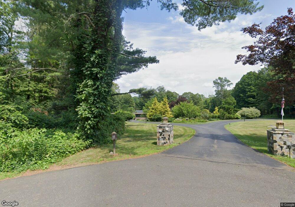
17 Dahlia Ln Unit LL Redding, CT 06896
Estimated Value: $811,000 - $1,266,000
4
Beds
5
Baths
3,351
Sq Ft
$317/Sq Ft
Est. Value
About This Home
This home is located at 17 Dahlia Ln Unit LL, Redding, CT 06896 and is currently estimated at $1,061,271, approximately $316 per square foot. 17 Dahlia Ln Unit LL is a home located in Fairfield County with nearby schools including Redding Elementary School, John Read Middle School, and Joel Barlow High School.
Ownership History
Date
Name
Owned For
Owner Type
Purchase Details
Closed on
Jul 9, 2020
Sold by
Mills John
Bought by
Mills John
Current Estimated Value
Home Financials for this Owner
Home Financials are based on the most recent Mortgage that was taken out on this home.
Original Mortgage
$510,000
Interest Rate
3.2%
Mortgage Type
New Conventional
Purchase Details
Closed on
Nov 27, 2018
Sold by
Stevenson Barbara
Bought by
Mills John
Purchase Details
Closed on
May 1, 2006
Sold by
Greene Robert H and Greene Haley J
Bought by
Stevenson Barbara
Purchase Details
Closed on
Jun 1, 1999
Sold by
Najarian Helga
Bought by
Greene Robert H and Greene Haley J
Create a Home Valuation Report for This Property
The Home Valuation Report is an in-depth analysis detailing your home's value as well as a comparison with similar homes in the area
Home Values in the Area
Average Home Value in this Area
Purchase History
We collect this data history from publicly available records. To have your information removed, we recommend requesting removal directly through your county’s website.
| Date | Buyer | Sale Price | Title Company |
|---|---|---|---|
| Mills John | -- | None Available | |
| Mills John | -- | None Available | |
| Mills John | $657,500 | -- | |
| Mills John | $657,500 | -- | |
| Stevenson Barbara | $720,000 | -- | |
| Stevenson Barbara | $720,000 | -- | |
| Greene Robert H | $171,250 | -- | |
| Greene Robert H | $171,250 | -- | |
| Greene Robert H | $171,250 | -- |
Source: Public Records
Mortgage History
We collect this data history from publicly available records. To have your information removed, we recommend requesting removal directly through your county’s website.
| Date | Status | Borrower | Loan Amount |
|---|---|---|---|
| Open | Mills John | $100,000 | |
| Closed | Mills John | $100,000 | |
| Previous Owner | Mills John | $510,000 | |
| Previous Owner | Mills John | $100,000 |
Source: Public Records
Tax History
| Year | Tax Paid | Tax Assessment Tax Assessment Total Assessment is a certain percentage of the fair market value that is determined by local assessors to be the total taxable value of land and additions on the property. | Land | Improvement |
|---|---|---|---|---|
| 2025 | $15,680 | $530,800 | $161,500 | $369,300 |
| 2024 | $15,245 | $530,800 | $161,500 | $369,300 |
| 2023 | $14,698 | $530,800 | $161,500 | $369,300 |
| 2022 | $13,489 | $404,600 | $165,900 | $238,700 |
| 2021 | $13,287 | $404,600 | $165,900 | $238,700 |
| 2020 | $13,287 | $404,600 | $165,900 | $238,700 |
| 2019 | $13,287 | $404,600 | $165,900 | $238,700 |
| 2018 | $12,834 | $404,600 | $165,900 | $238,700 |
| 2017 | $10,545 | $356,000 | $166,200 | $189,800 |
| 2016 | $10,409 | $356,000 | $166,200 | $189,800 |
| 2015 | $10,292 | $356,000 | $166,200 | $189,800 |
| 2014 | $10,292 | $356,000 | $166,200 | $189,800 |
Source: Public Records
Map
Nearby Homes
- 5 Musket Ln
- 2 Longwood Dr
- 127 Limekiln Rd
- 44 High Ridge Rd
- 76 Pocahontas Rd
- 471 Newtown Turnpike
- 24 Costa Ln
- 6 Winding Brook Ct
- 138 Putnam Park Rd
- 172 Gallows Hill Rd
- 16 Shady Ln
- 159 Cross Hwy
- 127 Putnam Park Rd
- 15 Old Mailcoach Rd
- 65 Nashville Road Extension
- 15 Silversmith Ln
- 5 Iris Ln
- 40 Deer Hill Rd
- 10 Chapman Place
- 313 Umpawaug Rd
Your Personal Tour Guide
Ask me questions while you tour the home.