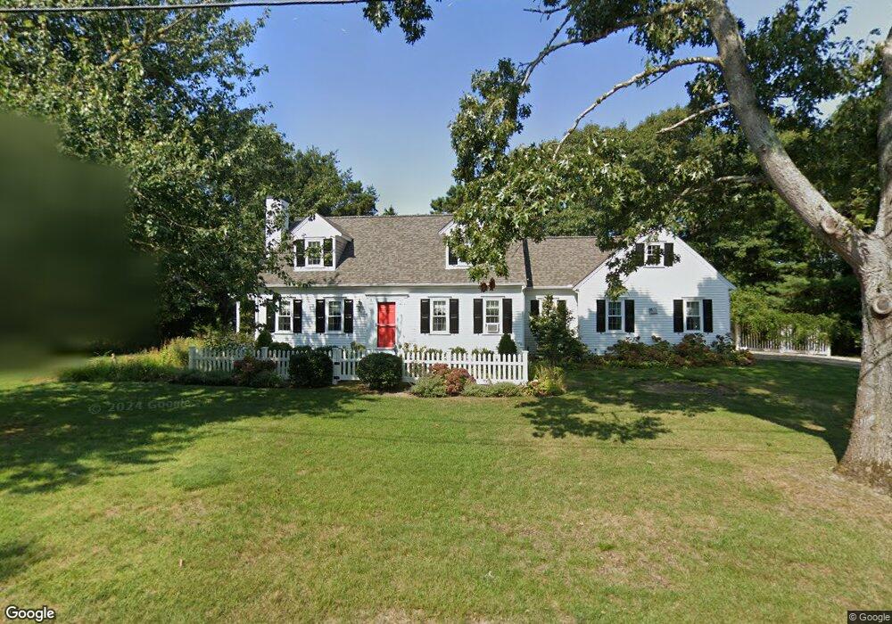
17 Dartmoor Way Yarmouth Port, MA 02675
Yarmouth Port NeighborhoodEstimated Value: $862,256 - $936,000
3
Beds
3
Baths
1,672
Sq Ft
$540/Sq Ft
Est. Value
About This Home
This home is located at 17 Dartmoor Way, Yarmouth Port, MA 02675 and is currently estimated at $902,564, approximately $539 per square foot. 17 Dartmoor Way is a home located in Barnstable County with nearby schools including Dennis-Yarmouth Regional High School and Trinity Christian Academy of Cape Cod.
Ownership History
Date
Name
Owned For
Owner Type
Purchase Details
Closed on
Oct 25, 1995
Sold by
Ross Ruth S
Bought by
Burke Sandra A and Kosinski Joan P
Current Estimated Value
Create a Home Valuation Report for This Property
The Home Valuation Report is an in-depth analysis detailing your home's value as well as a comparison with similar homes in the area
Home Values in the Area
Average Home Value in this Area
Purchase History
| Date | Buyer | Sale Price | Title Company |
|---|---|---|---|
| Burke Sandra A | $68,000 | -- |
Source: Public Records
Mortgage History
| Date | Status | Borrower | Loan Amount |
|---|---|---|---|
| Open | Burke Sandra A | $92,500 | |
| Closed | Burke Sandra A | $92,500 | |
| Open | Burke Sandra A | $155,000 |
Source: Public Records
Tax History Compared to Growth
Tax History
| Year | Tax Paid | Tax Assessment Tax Assessment Total Assessment is a certain percentage of the fair market value that is determined by local assessors to be the total taxable value of land and additions on the property. | Land | Improvement |
|---|---|---|---|---|
| 2025 | $5,953 | $840,800 | $232,200 | $608,600 |
| 2024 | $5,519 | $747,800 | $202,000 | $545,800 |
| 2023 | $5,552 | $684,600 | $190,400 | $494,200 |
| 2022 | $5,406 | $588,900 | $216,300 | $372,600 |
| 2021 | $5,234 | $547,500 | $206,500 | $341,000 |
| 2020 | $5,057 | $505,700 | $206,100 | $299,600 |
| 2019 | $4,739 | $469,200 | $206,100 | $263,100 |
| 2018 | $4,734 | $460,100 | $197,000 | $263,100 |
| 2017 | $4,610 | $460,100 | $197,000 | $263,100 |
| 2016 | $4,592 | $460,100 | $197,000 | $263,100 |
| 2015 | $4,451 | $443,300 | $197,000 | $246,300 |
Source: Public Records
Map
Nearby Homes
- 23 Dauphine Dr
- 2 Pine Grove
- 30 W Woods Cir Unit 30
- 30 W Woods
- 24 Minnetuxet Way
- 25 Oak Glen
- 25 Oak Glen Village Unit 25
- 28 Oak Glen
- 158 Kates Path
- 371 Route 6a
- 21 Boxwood Cir
- 17 Kates Path Unit A
- 228 Kates Path
- 19 John Hall Cartway Unit E
- 50 John Hall Cartway
- 50 John Hall Cartway Unit 50
- 19 John Halls Cartpath Village Unit E
- 43 Canterbury Rd
- 42 John Hall Cartway Unit 42
- 64 Kates Path
- 44 Homer's Dock Rd
- 9 Dartmoor Way
- 36 Homers Dock Rd
- 25 Dartmoor Way
- 20 Dartmoor Way
- 0 Dartmoor Way
- 52 Homers Dock Rd
- 10 Dartmoor Way
- 28 Dartmoor Way
- 61 Lookout Rd
- 5 Lookout Rd
- 1 Dartmoor Way
- 35 Dartmoor Way
- 29 Lookout Rd
- 71 Lookout Rd
- 0 Lookout Rd
- 58 Homers Dock Rd
- 26 Homers Dock Rd
- 36 Dartmoor Way
- 45 Lookout Rd