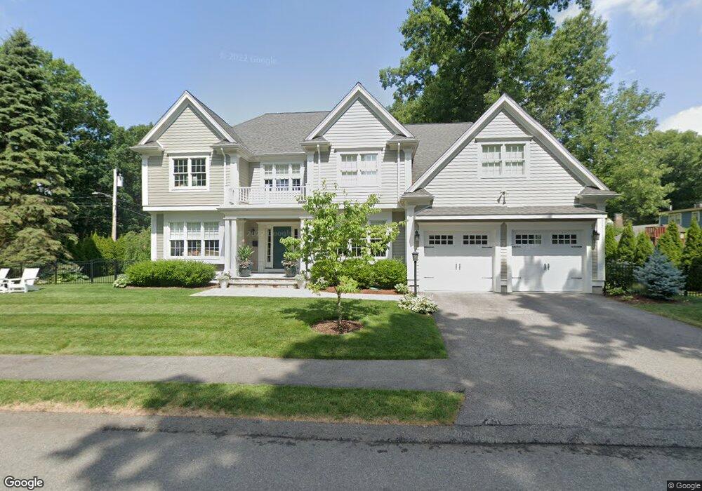
17 Deerfield Rd Unit 17 Needham, MA 02492
Estimated Value: $2,415,376 - $2,973,000
3
Beds
2
Baths
1,432
Sq Ft
$1,848/Sq Ft
Est. Value
About This Home
This home is located at 17 Deerfield Rd Unit 17, Needham, MA 02492 and is currently estimated at $2,646,094, approximately $1,847 per square foot. 17 Deerfield Rd Unit 17 is a home located in Norfolk County with nearby schools including Newman Elementary School, High Rock Middle School, and Pollard Middle School.
Ownership History
Date
Name
Owned For
Owner Type
Purchase Details
Closed on
Dec 9, 1988
Sold by
Rosenberg Extr Geo
Bought by
Piton Jozefa
Current Estimated Value
Home Financials for this Owner
Home Financials are based on the most recent Mortgage that was taken out on this home.
Original Mortgage
$108,000
Interest Rate
10.17%
Mortgage Type
Purchase Money Mortgage
Create a Home Valuation Report for This Property
The Home Valuation Report is an in-depth analysis detailing your home's value as well as a comparison with similar homes in the area
Home Values in the Area
Average Home Value in this Area
Purchase History
| Date | Buyer | Sale Price | Title Company |
|---|---|---|---|
| Piton Jozefa | $208,000 | -- |
Source: Public Records
Mortgage History
| Date | Status | Borrower | Loan Amount |
|---|---|---|---|
| Open | Piton Jozefa | $1,172,000 | |
| Closed | Piton Jozefa | $108,000 |
Source: Public Records
Tax History Compared to Growth
Tax History
| Year | Tax Paid | Tax Assessment Tax Assessment Total Assessment is a certain percentage of the fair market value that is determined by local assessors to be the total taxable value of land and additions on the property. | Land | Improvement |
|---|---|---|---|---|
| 2025 | $25,084 | $2,366,400 | $720,800 | $1,645,600 |
| 2024 | $22,500 | $1,797,100 | $526,100 | $1,271,000 |
| 2023 | $20,598 | $1,579,600 | $526,100 | $1,053,500 |
| 2022 | $19,951 | $1,492,200 | $496,300 | $995,900 |
| 2021 | $19,443 | $1,492,200 | $496,300 | $995,900 |
| 2020 | $18,565 | $1,486,400 | $496,200 | $990,200 |
| 2019 | $17,578 | $1,418,700 | $451,100 | $967,600 |
| 2018 | $16,854 | $1,418,700 | $451,100 | $967,600 |
| 2017 | $15,978 | $1,343,800 | $451,100 | $892,700 |
| 2016 | $7,184 | $622,500 | $451,100 | $171,400 |
| 2015 | $7,028 | $622,500 | $451,100 | $171,400 |
| 2014 | $6,702 | $575,800 | $410,100 | $165,700 |
Source: Public Records
Map
Nearby Homes
- 17 Deerfield Rd
- 17 Deerfield Rd Unit XXX
- 118 Barrett St
- 27 Deerfield Rd
- 378 High Rock St
- 5 Deerfield Rd
- 18 Deerfield Rd
- 384 High Rock St
- 112 Barrett St
- 368 High Rock St
- 119 Barrett St
- 390 High Rock St
- 11 Robinwood Ave
- 30 Deerfield Rd
- 364 High Rock St
- 19 Robinwood Ave
- 106 Barrett St
- 9 Robinwood Ave
- 40 Deerfield Rd
- 40 Deerfield Rd Unit 40