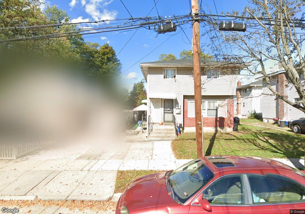
17 Delaware Place Unit 19 Hempstead, NY 11550
Estimated Value: $773,000
Studio
4
Baths
2,346
Sq Ft
$329/Sq Ft
Est. Value
About This Home
This home is located at 17 Delaware Place Unit 19, Hempstead, NY 11550 and is currently estimated at $773,000, approximately $329 per square foot. 17 Delaware Place Unit 19 is a home located in Nassau County with nearby schools including The Academy Charter School and Hebrew Academy of Nassau County Middle School and Brookdale High School.
Ownership History
Date
Name
Owned For
Owner Type
Purchase Details
Closed on
Oct 17, 2019
Sold by
Sumlen Realty Llc
Bought by
Sumlen Realty De Llc
Current Estimated Value
Purchase Details
Closed on
Oct 11, 2018
Sold by
Sumkin Family Limited Partnership V
Bought by
Sumlen Realty Llc
Home Financials for this Owner
Home Financials are based on the most recent Mortgage that was taken out on this home.
Original Mortgage
$292,500
Interest Rate
4.6%
Mortgage Type
New Conventional
Purchase Details
Closed on
Jun 13, 2001
Sold by
Cohen Lubah F
Bought by
Sumkin Management
Create a Home Valuation Report for This Property
The Home Valuation Report is an in-depth analysis detailing your home's value as well as a comparison with similar homes in the area
Home Values in the Area
Average Home Value in this Area
Purchase History
| Date | Buyer | Sale Price | Title Company |
|---|---|---|---|
| Sumlen Realty De Llc | -- | None Available | |
| Sumlen Realty Llc | -- | Chicago Title Ins Co | |
| Sumkin Management | $165,000 | William Friedman |
Source: Public Records
Mortgage History
| Date | Status | Borrower | Loan Amount |
|---|---|---|---|
| Previous Owner | Sumlen Realty Llc | $292,500 |
Source: Public Records
Tax History
| Year | Tax Paid | Tax Assessment Tax Assessment Total Assessment is a certain percentage of the fair market value that is determined by local assessors to be the total taxable value of land and additions on the property. | Land | Improvement |
|---|---|---|---|---|
| 2025 | $8,781 | $346 | $100 | $246 |
| 2024 | $947 | $346 | $100 | $246 |
| 2023 | $9,567 | $346 | $100 | $246 |
| 2022 | $9,567 | $346 | $100 | $246 |
| 2021 | $14,928 | $335 | $97 | $238 |
| 2020 | $11,353 | $705 | $307 | $398 |
| 2019 | $1,367 | $705 | $307 | $398 |
| 2018 | $10,064 | $705 | $0 | $0 |
| 2017 | $9,211 | $705 | $307 | $398 |
| 2016 | $10,444 | $705 | $307 | $398 |
| 2015 | $1,181 | $705 | $307 | $398 |
| 2014 | $1,181 | $705 | $307 | $398 |
| 2013 | $1,093 | $705 | $307 | $398 |
Source: Public Records
Map
Nearby Homes
- 361 E Columbia St
- 66 Warner Ave
- 297 E Columbia St
- 186 Westbury Blvd
- 269 E Columbia St
- 296 Harvard St
- 93 Princeton St
- 210 Dartmouth St
- 69 Harriet Ave
- 126 Fairview Blvd
- 28 Cornwall Ln
- 136 Fairview Blvd
- 140 Amherst St
- 58 Remsen Ave
- 7 Pilot St
- 95 Rhodes Ave
- 63 Devon Rd
- 27 Elizabeth Ct
- 155 Rhodes Ave
- 113 Stewart Ave
- 11 Delaware Place
- 1 Seaman Ave Unit 3
- 5 Seaman Ave Unit 7
- 11 Seaman Ave
- 96 Vermont Ave
- 100 Vermont Ave
- 92 Westbury Blvd
- 96 Westbury Blvd
- 10 Delaware Place
- 104 Vermont Ave
- 18 Delaware Place
- 100 Westbury Blvd
- 108 Vermont Ave
- 14 Delaware Place
- 22 Delaware Place
- 86 Vermont Ave
- 15 Seaman Ave
- 26 Delaware Place
- 31 Delaware Place
- 28 Delaware Place
Your Personal Tour Guide
Ask me questions while you tour the home.