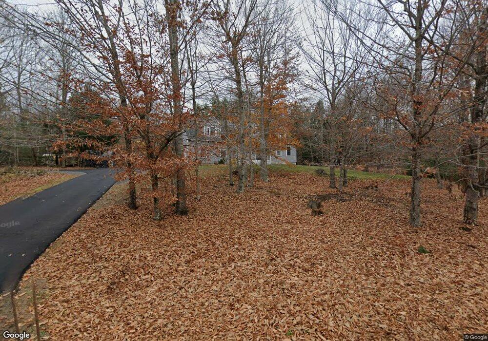
17 Derrick Dr Limington, ME 04049
Estimated Value: $485,000 - $541,000
3
Beds
3
Baths
1,965
Sq Ft
$258/Sq Ft
Est. Value
About This Home
This home is located at 17 Derrick Dr, Limington, ME 04049 and is currently estimated at $507,607, approximately $258 per square foot. 17 Derrick Dr is a home located in York County with nearby schools including Bonny Eagle High School.
Ownership History
Date
Name
Owned For
Owner Type
Purchase Details
Closed on
Aug 16, 2013
Sold by
Marean Christine L
Bought by
Huggard Christian and Hogan Angela R
Current Estimated Value
Home Financials for this Owner
Home Financials are based on the most recent Mortgage that was taken out on this home.
Original Mortgage
$242,095
Outstanding Balance
$177,790
Interest Rate
4.31%
Mortgage Type
Commercial
Estimated Equity
$329,817
Create a Home Valuation Report for This Property
The Home Valuation Report is an in-depth analysis detailing your home's value as well as a comparison with similar homes in the area
Home Values in the Area
Average Home Value in this Area
Purchase History
| Date | Buyer | Sale Price | Title Company |
|---|---|---|---|
| Huggard Christian | -- | -- |
Source: Public Records
Mortgage History
| Date | Status | Borrower | Loan Amount |
|---|---|---|---|
| Open | Huggard Christian | $242,095 |
Source: Public Records
Tax History
| Year | Tax Paid | Tax Assessment Tax Assessment Total Assessment is a certain percentage of the fair market value that is determined by local assessors to be the total taxable value of land and additions on the property. | Land | Improvement |
|---|---|---|---|---|
| 2025 | $5,177 | $462,200 | $102,000 | $360,200 |
| 2024 | $5,191 | $462,200 | $102,000 | $360,200 |
| 2023 | $4,728 | $462,200 | $102,000 | $360,200 |
| 2022 | $3,659 | $248,100 | $68,000 | $180,100 |
| 2021 | $3,275 | $248,100 | $68,000 | $180,100 |
| 2020 | $2,983 | $242,500 | $68,000 | $174,500 |
| 2019 | $2,983 | $242,500 | $68,000 | $174,500 |
| 2017 | $2,862 | $242,500 | $68,000 | $174,500 |
| 2016 | $2,728 | $242,500 | $68,000 | $174,500 |
Source: Public Records
Map
Nearby Homes
- 208 Boothby Rd
- 6 Moody Rd
- 193 Moody Rd
- 15 Hasty Hill Rd
- 192 Ossipee Trail
- 1024 Cape Rd
- 2 Mildred Ln
- 1044 Ossipee Trail W
- 29 Maplewood Dr
- 60 Christian Hill Rd
- 13 Angelwood Road Extension
- 5 Wards Pond Rd
- 8 & 40 Durgin Farm Rd
- 530 Cape Rd
- 8 Evergreen Cir
- 13 Airport Dr Unit O
- 13 Airport Dr Unit Q
- 15 Manchester Rd
- 50AC Sawyer Mountain Rd
- 26 Old Country Way
- 23 Derrick Dr
- 20 Derrick Dr
- 36 Derrick Dr
- 33 Derrick Dr
- 5 Derrick Dr
- 14 Black Brook Rd
- 4 Derrick Dr
- 10 Derrick Dr
- 20 Black Brook Rd
- 24 Black Brook Rd
- 26 Black Brook Rd
- 209 Boothby Rd
- 200 Boothby Rd
- 202 Boothby Rd
- 204 Boothby Rd
- 206 Boothby Rd
- 212 Boothby Rd
- 214 Boothby Rd
- 219 Boothby Rd
- 221 Boothby Rd
Your Personal Tour Guide
Ask me questions while you tour the home.