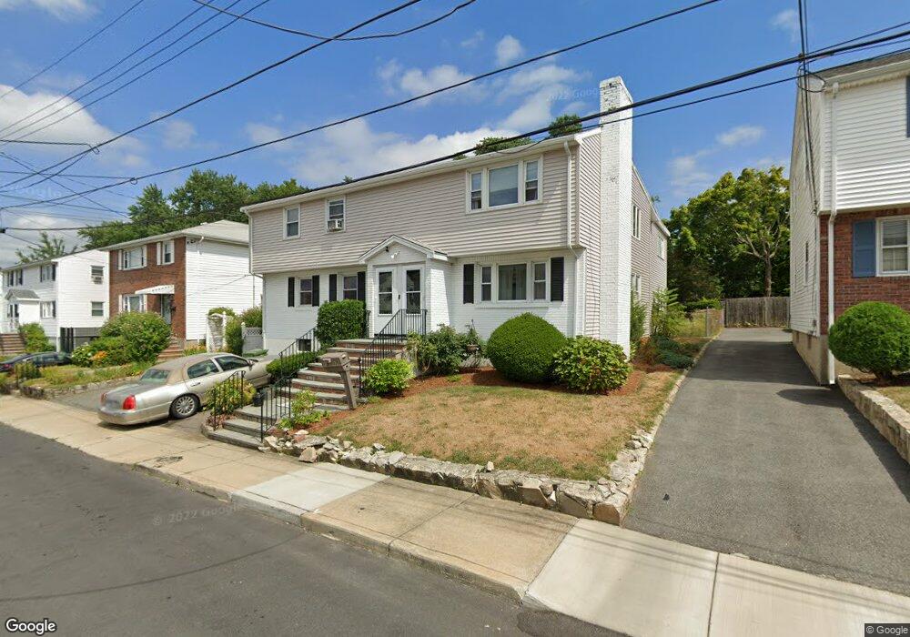
17 Desmond Ave Unit 19 Watertown, MA 02472
West Watertown NeighborhoodEstimated Value: $1,196,000 - $1,410,000
4
Beds
3
Baths
3,232
Sq Ft
$394/Sq Ft
Est. Value
About This Home
This home is located at 17 Desmond Ave Unit 19, Watertown, MA 02472 and is currently estimated at $1,273,299, approximately $393 per square foot. 17 Desmond Ave Unit 19 is a home located in Middlesex County with nearby schools including The Kendall School, JCDS, Boston's Jewish Community Day School, and Beacon High School.
Ownership History
Date
Name
Owned For
Owner Type
Purchase Details
Closed on
May 22, 2018
Sold by
Zagorianakos William S and Zagorianakos Patricia L
Bought by
Zagorianakos Patricia L
Current Estimated Value
Purchase Details
Closed on
May 18, 1995
Sold by
Karagiorgos Athanase and Karagiorgos Lyse
Bought by
Zagorianakos William S and Zagorianakos L P
Home Financials for this Owner
Home Financials are based on the most recent Mortgage that was taken out on this home.
Original Mortgage
$210,400
Interest Rate
8.34%
Mortgage Type
Purchase Money Mortgage
Create a Home Valuation Report for This Property
The Home Valuation Report is an in-depth analysis detailing your home's value as well as a comparison with similar homes in the area
Home Values in the Area
Average Home Value in this Area
Purchase History
| Date | Buyer | Sale Price | Title Company |
|---|---|---|---|
| Zagorianakos Patricia L | -- | -- | |
| Zagorianakos Patricia L | -- | -- | |
| Zagorianakos Patricia L | -- | -- | |
| Zagorianakos William S | $263,000 | -- |
Source: Public Records
Mortgage History
| Date | Status | Borrower | Loan Amount |
|---|---|---|---|
| Previous Owner | Zagorianakos William S | $207,450 | |
| Previous Owner | Zagorianakos William S | $210,400 | |
| Previous Owner | Zagorianakos William S | $170,000 |
Source: Public Records
Tax History Compared to Growth
Tax History
| Year | Tax Paid | Tax Assessment Tax Assessment Total Assessment is a certain percentage of the fair market value that is determined by local assessors to be the total taxable value of land and additions on the property. | Land | Improvement |
|---|---|---|---|---|
| 2025 | $11,505 | $985,000 | $472,500 | $512,500 |
| 2024 | $10,412 | $889,900 | $466,200 | $423,700 |
| 2023 | $11,713 | $862,500 | $444,000 | $418,500 |
| 2022 | $10,770 | $812,800 | $421,800 | $391,000 |
| 2021 | $9,776 | $798,000 | $407,000 | $391,000 |
| 2020 | $9,461 | $779,300 | $392,200 | $387,100 |
| 2019 | $8,212 | $637,600 | $377,400 | $260,200 |
| 2018 | $8,223 | $610,500 | $370,000 | $240,500 |
| 2017 | $7,760 | $558,700 | $318,200 | $240,500 |
| 2016 | $7,441 | $543,900 | $303,400 | $240,500 |
| 2015 | $7,886 | $524,700 | $281,200 | $243,500 |
| 2014 | $7,517 | $502,500 | $259,000 | $243,500 |
Source: Public Records
Map
Nearby Homes
- 38 Carey Ave Unit 3
- 109 A Lexington St
- 63 Edenfield Ave
- 5 Chapman St
- 172 Westminster Ave Unit 1
- 27-29 Edenfield Ave
- 9 Bancroft St Unit 11
- 15 Elmwood Ave
- 79 Waverley Ave Unit 79
- 5 Chatham Way Unit 5
- 220 Westminster Ave
- 71 Gleason St
- 32 Howard St Unit 32
- 129 Waverley Ave Unit 129
- 7 French St
- 57 Pierce Rd Unit 57
- 35 Bacon St
- 77 Forest St
- 32 Bacon St
- 654 Main St
- 21 Desmond Ave
- 15 Desmond Ave Unit 15
- 13 Desmond Ave
- 25 Desmond Ave Unit 27
- 25 Desmond Ave Unit 1
- 25 Desmond Ave Unit 25
- 18 Desmond Ave Unit 20
- 1-3 Desmond Ave
- 1-3 Desmond Ave Unit 1
- 1-3 Desmond Ave Unit 3
- 14 Desmond Ave
- 8 Locust Ln Unit 6
- 8 Locust Ln Unit 5
- 8 Locust Ln Unit 4
- 8 Locust Ln Unit 3
- 8 Locust Ln Unit 2
- 8 Locust Ln Unit 1
- 8F Locust Ln Unit 8
- 8 Locust Ln Unit B
- 8 Locust Ln Unit D