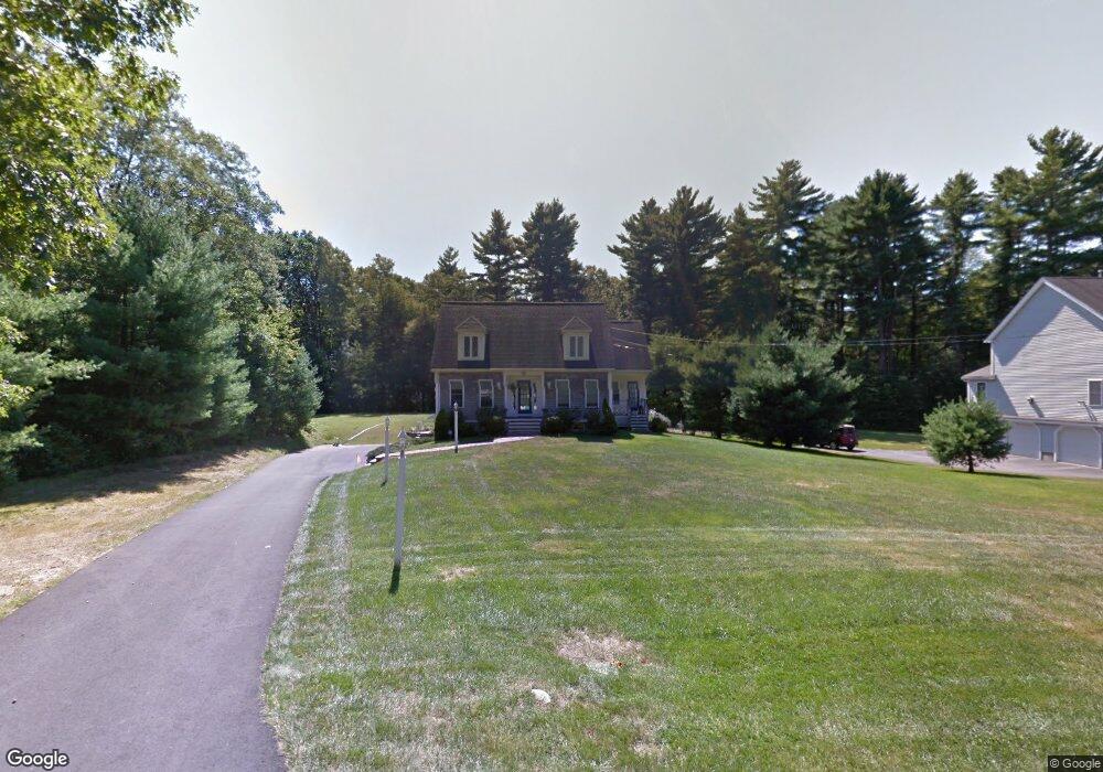
17 Dyer St Millis, MA 02054
Estimated Value: $778,894 - $846,000
3
Beds
3
Baths
2,285
Sq Ft
$354/Sq Ft
Est. Value
About This Home
This home is located at 17 Dyer St, Millis, MA 02054 and is currently estimated at $809,724, approximately $354 per square foot. 17 Dyer St is a home located in Norfolk County with nearby schools including Clyde F Brown, Millis Middle School, and Millis High School.
Ownership History
Date
Name
Owned For
Owner Type
Purchase Details
Closed on
Dec 6, 2010
Sold by
Schroepfer Bruce C and Schroepfer Denise A
Bought by
Schroepfer Bruce C and Schroepfer Denise A
Current Estimated Value
Purchase Details
Closed on
Sep 20, 2002
Sold by
Mcdonough Thomas F and Mcdonough Karen G
Bought by
Schroepfer Bruce C and Schroepfer Denise A
Home Financials for this Owner
Home Financials are based on the most recent Mortgage that was taken out on this home.
Original Mortgage
$215,000
Interest Rate
6.36%
Mortgage Type
Purchase Money Mortgage
Create a Home Valuation Report for This Property
The Home Valuation Report is an in-depth analysis detailing your home's value as well as a comparison with similar homes in the area
Home Values in the Area
Average Home Value in this Area
Purchase History
| Date | Buyer | Sale Price | Title Company |
|---|---|---|---|
| Schroepfer Bruce C | -- | -- | |
| Schroepfer Bruce C | $385,000 | -- |
Source: Public Records
Mortgage History
| Date | Status | Borrower | Loan Amount |
|---|---|---|---|
| Previous Owner | Schroepfer Bruce C | $215,000 |
Source: Public Records
Tax History
| Year | Tax Paid | Tax Assessment Tax Assessment Total Assessment is a certain percentage of the fair market value that is determined by local assessors to be the total taxable value of land and additions on the property. | Land | Improvement |
|---|---|---|---|---|
| 2025 | $10,793 | $658,100 | $193,000 | $465,100 |
| 2024 | $10,223 | $622,600 | $193,000 | $429,600 |
| 2023 | $9,994 | $571,400 | $167,900 | $403,500 |
| 2022 | $9,729 | $515,300 | $167,900 | $347,400 |
| 2021 | $9,692 | $494,000 | $167,900 | $326,100 |
| 2020 | $10,108 | $501,900 | $156,900 | $345,000 |
| 2019 | $9,077 | $485,400 | $148,400 | $337,000 |
| 2018 | $8,504 | $471,900 | $134,900 | $337,000 |
| 2017 | $8,315 | $451,400 | $149,700 | $301,700 |
| 2016 | $7,872 | $451,400 | $149,700 | $301,700 |
| 2015 | $7,674 | $451,400 | $149,700 | $301,700 |
Source: Public Records
Map
Nearby Homes
- 200 Pleasant St
- 225 Pleasant St
- 5 Apple Rock Rd
- 1 Granite Dr
- 33 Spencer St
- 13 Teresa Dr
- 14 Teresa Dr
- 40 Lakeshore Dr
- 216 Plain St
- 1032 Main St Unit 6
- 43 Whichita Rd
- 33 Whichita Rd
- 12 Ariana Ln
- 18 Shawnee Rd
- 25 Bayberry Cir Unit 25
- 83 Village St
- 20 Pennacook St
- 488R Main St
- 1280 Main St
- 10 Populatic Street Extension
- 19 Dyer St
- 15 Dyer St
- 21 Dyer St
- 183 Pleasant St
- 304 Village St
- 295 Village St
- 178 Pleasant St
- 180 Pleasant St
- 310 Village St
- 293 Village St
- 297 Village St
- 176 Pleasant St
- 291 Village St
- 184 Pleasant St
- 289 Village St
- 174 Pleasant St
- 287 Village St
- 186 Pleasant St
- 172 Pleasant St
- 172 Pleasant St Unit House
Your Personal Tour Guide
Ask me questions while you tour the home.