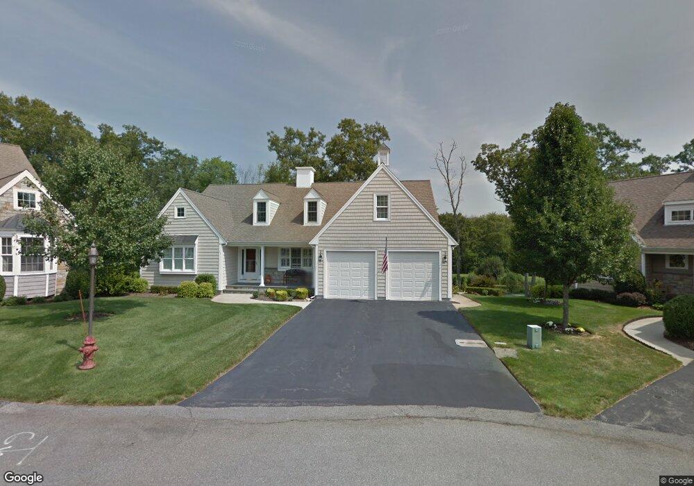
17 Eagle Way South Weymouth, MA 02190
South Weymouth NeighborhoodEstimated Value: $1,019,000 - $1,153,000
2
Beds
2
Baths
2,336
Sq Ft
$469/Sq Ft
Est. Value
About This Home
This home is located at 17 Eagle Way, South Weymouth, MA 02190 and is currently estimated at $1,095,730, approximately $469 per square foot. 17 Eagle Way is a home located in Norfolk County with nearby schools including Thomas W. Hamilton Primary School, Abigail Adams Middle School, and Weymouth Middle School Chapman.
Ownership History
Date
Name
Owned For
Owner Type
Purchase Details
Closed on
Nov 28, 2018
Sold by
Joublin Yves and Joublin Monique
Bought by
Wrick Brian T and Wrick Doreen F
Current Estimated Value
Purchase Details
Closed on
Dec 15, 2015
Sold by
Crocker Rt
Bought by
Joublin Yves and Joublin Monique
Purchase Details
Closed on
Apr 20, 2007
Sold by
Crocker Edward J and Crocker Carol A
Bought by
Crocker Rt and Crocker Edward J
Purchase Details
Closed on
Nov 14, 2003
Sold by
Weathervane Dev Corp
Bought by
Crocker Edward J and Crocker Carol A
Create a Home Valuation Report for This Property
The Home Valuation Report is an in-depth analysis detailing your home's value as well as a comparison with similar homes in the area
Home Values in the Area
Average Home Value in this Area
Purchase History
| Date | Buyer | Sale Price | Title Company |
|---|---|---|---|
| Wrick Brian T | $775,000 | -- | |
| Joublin Yves | $735,000 | -- | |
| Crocker Rt | -- | -- | |
| Crocker Edward J | $561,786 | -- |
Source: Public Records
Tax History Compared to Growth
Tax History
| Year | Tax Paid | Tax Assessment Tax Assessment Total Assessment is a certain percentage of the fair market value that is determined by local assessors to be the total taxable value of land and additions on the property. | Land | Improvement |
|---|---|---|---|---|
| 2025 | $10,544 | $1,044,000 | $0 | $1,044,000 |
| 2024 | $10,248 | $997,900 | $0 | $997,900 |
| 2023 | $9,140 | $874,600 | $0 | $874,600 |
| 2022 | $9,154 | $798,800 | $0 | $798,800 |
| 2021 | $8,942 | $761,700 | $0 | $761,700 |
| 2020 | $8,715 | $731,100 | $0 | $731,100 |
| 2019 | $9,538 | $787,000 | $0 | $787,000 |
| 2018 | $9,229 | $738,300 | $0 | $738,300 |
| 2017 | $9,236 | $721,000 | $0 | $721,000 |
| 2016 | $8,929 | $697,600 | $0 | $697,600 |
| 2015 | $8,595 | $666,300 | $0 | $666,300 |
| 2014 | $8,672 | $652,000 | $0 | $652,000 |
Source: Public Records
Map
Nearby Homes
- 18 Ben Hogan Landing Unit 18
- 17 Buchanan Ln
- 17 Sears Rd
- 299 Union St
- 79 Tilden Rd
- 26 Leahaven Rd
- 102 White St
- 4 Edward Cody Ln
- 25 Wales Ave
- 279 Pine St
- 540 Union St
- 446 Ralph Talbot St
- 41 Oak St
- 5 Oak St
- 197 White St
- 206 Pine St
- 45 Union St
- 261 Pleasant St Unit 5
- 65 Webster St Unit 401
- 54 Fountain Ln Unit 9
- 17 Eagle Way Unit 17
- 16 Eagle Way
- 15 Eagle Way
- 14 Eagle Way
- 84 Sandtrap Cir
- 6 Eagle Way
- 92 Sandtrap Cir
- 100 Sandtrap Cir
- 76 Sandtrap Cir
- 91 Sandtrap Cir
- 81 Sandtrap Cir
- 99 Sandtrap Cir
- 106 Sandtrap Cir
- 72 Sandtrap Cir
- 75 Sandtrap Cir
- 4 Birdie Ln
- 103 Sandtrap Cir
- 14 Birdie Ln
- 112 Sandtrap Cir
- 18 Birdie Ln