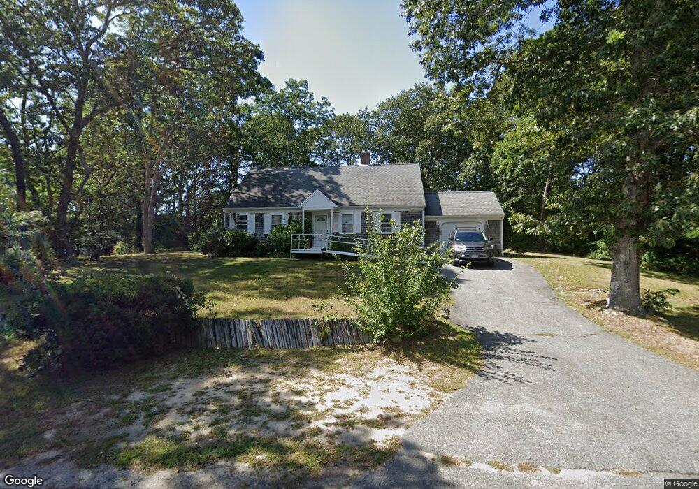
17 Eileen St Yarmouth Port, MA 02675
Yarmouth Port NeighborhoodEstimated Value: $658,502 - $743,000
3
Beds
3
Baths
1,701
Sq Ft
$413/Sq Ft
Est. Value
About This Home
This home is located at 17 Eileen St, Yarmouth Port, MA 02675 and is currently estimated at $703,126, approximately $413 per square foot. 17 Eileen St is a home located in Barnstable County with nearby schools including Dennis-Yarmouth Regional High School and St. Pius X. School.
Ownership History
Date
Name
Owned For
Owner Type
Purchase Details
Closed on
Dec 13, 2021
Sold by
Athayde Edward and Athayde Hazel J
Bought by
Athayde Edward
Current Estimated Value
Purchase Details
Closed on
Nov 27, 1981
Bought by
Athayde Edward and Athayde Hazel J
Create a Home Valuation Report for This Property
The Home Valuation Report is an in-depth analysis detailing your home's value as well as a comparison with similar homes in the area
Home Values in the Area
Average Home Value in this Area
Purchase History
| Date | Buyer | Sale Price | Title Company |
|---|---|---|---|
| Athayde Edward | -- | None Available | |
| Athayde Edward | -- | -- |
Source: Public Records
Tax History Compared to Growth
Tax History
| Year | Tax Paid | Tax Assessment Tax Assessment Total Assessment is a certain percentage of the fair market value that is determined by local assessors to be the total taxable value of land and additions on the property. | Land | Improvement |
|---|---|---|---|---|
| 2025 | $3,856 | $544,600 | $171,000 | $373,600 |
| 2024 | $3,571 | $483,900 | $148,800 | $335,100 |
| 2023 | $3,569 | $440,100 | $135,200 | $304,900 |
| 2022 | $3,297 | $359,100 | $129,000 | $230,100 |
| 2021 | $3,248 | $339,700 | $129,000 | $210,700 |
| 2020 | $3,218 | $321,800 | $136,600 | $185,200 |
| 2019 | $3,024 | $299,400 | $136,600 | $162,800 |
| 2018 | $2,846 | $276,600 | $113,800 | $162,800 |
| 2017 | $2,772 | $276,600 | $113,800 | $162,800 |
| 2016 | $2,670 | $267,500 | $104,700 | $162,800 |
| 2015 | $2,533 | $252,300 | $100,100 | $152,200 |
Source: Public Records
Map
Nearby Homes
- 44 Stratford Ln
- 86 Pompano Rd
- 43 Canterbury Rd
- 34 Kates Path
- 34 Kates Path Unit 34
- 64 Kates Path
- 17 Kates Path Unit A
- 228 Kates Path
- 6 Nimble Hill Dr
- 25 Oak Glen Village Unit 25
- 25 Oak Glen
- 1 Barnacle Rd
- 7 Forest Gate Unit 7
- 50 John Hall Cartway
- 50 John Hall Cartway Unit 50
- 42 John Hall Cartway Unit 42
- 2 Pine Grove
- 30 W Woods Cir Unit 30
- 30 W Woods
- 59 Massachusetts 6a Unit 19-2