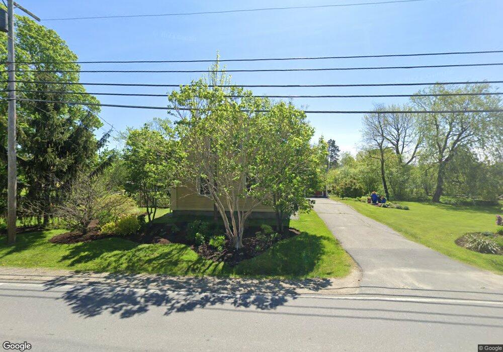
17 Elm St South Thomaston, ME 04858
Estimated Value: $404,194 - $486,000
3
Beds
2
Baths
1,467
Sq Ft
$303/Sq Ft
Est. Value
About This Home
This home is located at 17 Elm St, South Thomaston, ME 04858 and is currently estimated at $444,049, approximately $302 per square foot. 17 Elm St is a home located in Knox County with nearby schools including Gilford Butler School, Owls Head Central School, and Oceanside High School East.
Ownership History
Date
Name
Owned For
Owner Type
Purchase Details
Closed on
Aug 19, 2020
Sold by
Lehtinen Constance D
Bought by
Buck Hammon J and Buck Dawn E
Current Estimated Value
Purchase Details
Closed on
May 14, 2008
Sold by
Baudanza Frank J and Baudanza Deborah L
Bought by
Buck Hammon J and Buck Dawn E
Home Financials for this Owner
Home Financials are based on the most recent Mortgage that was taken out on this home.
Original Mortgage
$237,500
Interest Rate
6%
Mortgage Type
Adjustable Rate Mortgage/ARM
Create a Home Valuation Report for This Property
The Home Valuation Report is an in-depth analysis detailing your home's value as well as a comparison with similar homes in the area
Home Values in the Area
Average Home Value in this Area
Purchase History
| Date | Buyer | Sale Price | Title Company |
|---|---|---|---|
| Buck Hammon J | -- | None Available | |
| Buck Hammon J | -- | -- |
Source: Public Records
Mortgage History
| Date | Status | Borrower | Loan Amount |
|---|---|---|---|
| Previous Owner | Buck Hammon J | $237,500 |
Source: Public Records
Tax History Compared to Growth
Tax History
| Year | Tax Paid | Tax Assessment Tax Assessment Total Assessment is a certain percentage of the fair market value that is determined by local assessors to be the total taxable value of land and additions on the property. | Land | Improvement |
|---|---|---|---|---|
| 2024 | $2,786 | $214,300 | $36,500 | $177,800 |
| 2023 | $2,661 | $178,600 | $30,400 | $148,200 |
| 2022 | $2,508 | $155,300 | $26,400 | $128,900 |
| 2021 | $3,657 | $155,300 | $26,400 | $128,900 |
| 2019 | $2,174 | $155,300 | $26,400 | $128,900 |
| 2018 | $2,086 | $155,300 | $26,400 | $128,900 |
| 2017 | $2,047 | $155,300 | $26,400 | $128,900 |
| 2016 | $2,047 | $155,300 | $26,400 | $128,900 |
| 2015 | $1,985 | $155,300 | $26,400 | $128,900 |
| 2014 | $1,935 | $155,300 | $26,400 | $128,900 |
Source: Public Records
Map
Nearby Homes
- Lot 8 Aspen Dr
- Lot # 2 Norton Dr
- Lots 8 & 9 Aspen Dr
- Lot 9 Aspen Dr
- 89 Buttermilk Ln
- 0 Maker Cove Rd
- 17 Spring St
- 93 Waterman Beach Rd
- Lot 1 Birch Point Ln Unit 1
- M5L13-3 Spruce Head Rd
- 23 Weskeg Rd
- 508 S Shore Dr
- M5L13-3 Lot Unit WP001
- 18 Town Clerks Rd
- 22 Sawblade Rd
- Lot #4 Heritage Dr
- Lot 4 & 5 Heritage Dr
- Lot #5 Heritage Dr
- 531 Spruce Head Rd
- 309 Saint George Rd
- 18 Elm St
- 25 Elm St
- 24 Elm St
- 14 Dublin Rd
- 18 Dublin Rd
- 00 Dublin Rd
- 24 Dublin Rd
- 0 Dublin Rd
- 32 Elm St
- 7 Dublin Rd
- 13 Dublin Rd
- 5 Spruce Head Rd
- 00 Spruce Head Road (Route 73)
- 25 Dublin Rd
- 31 Dublin Rd
- 0 Field St Unit 908614
- 0 Field St Unit 1025234
- 0 Field St Unit 1025226
- 17 Dublin Rd
- 308 Spruce Head Rd