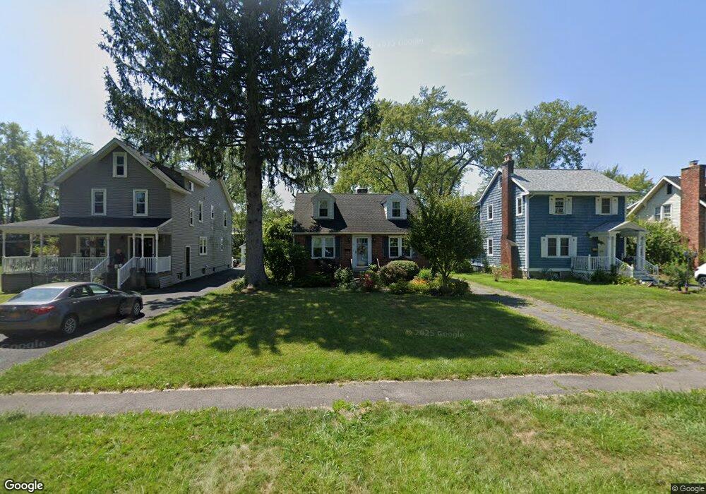
17 Euclid Ave Delmar, NY 12054
Estimated Value: $306,866 - $363,000
3
Beds
1
Bath
1,215
Sq Ft
$280/Sq Ft
Est. Value
About This Home
This home is located at 17 Euclid Ave, Delmar, NY 12054 and is currently estimated at $340,467, approximately $280 per square foot. 17 Euclid Ave is a home located in Albany County with nearby schools including St. Thomas the Apostle School and Albany Academies (The).
Ownership History
Date
Name
Owned For
Owner Type
Purchase Details
Closed on
Jul 27, 2005
Sold by
Mcgrath Christopher M
Bought by
Romano Heather L
Current Estimated Value
Home Financials for this Owner
Home Financials are based on the most recent Mortgage that was taken out on this home.
Original Mortgage
$158,400
Outstanding Balance
$82,567
Interest Rate
5.54%
Mortgage Type
New Conventional
Estimated Equity
$257,900
Purchase Details
Closed on
May 23, 2003
Sold by
Mcgrath Michael
Bought by
Mcgrth Christopher M
Purchase Details
Closed on
Jun 16, 1998
Sold by
Colacino Daniel
Bought by
Mcgrath Christopher M and Mcgrath Lea M
Create a Home Valuation Report for This Property
The Home Valuation Report is an in-depth analysis detailing your home's value as well as a comparison with similar homes in the area
Home Values in the Area
Average Home Value in this Area
Purchase History
| Date | Buyer | Sale Price | Title Company |
|---|---|---|---|
| Romano Heather L | $198,000 | James Blendell | |
| Mcgrth Christopher M | -- | Stephen J Griffety | |
| Mcgrath Christopher M | $96,000 | -- |
Source: Public Records
Mortgage History
| Date | Status | Borrower | Loan Amount |
|---|---|---|---|
| Open | Romano Heather L | $158,400 |
Source: Public Records
Tax History Compared to Growth
Tax History
| Year | Tax Paid | Tax Assessment Tax Assessment Total Assessment is a certain percentage of the fair market value that is determined by local assessors to be the total taxable value of land and additions on the property. | Land | Improvement |
|---|---|---|---|---|
| 2024 | $5,008 | $167,300 | $58,800 | $108,500 |
| 2023 | $4,813 | $167,300 | $58,800 | $108,500 |
| 2022 | $4,662 | $167,300 | $58,800 | $108,500 |
| 2021 | $4,686 | $167,300 | $58,800 | $108,500 |
| 2020 | $4,658 | $167,300 | $58,800 | $108,500 |
| 2019 | $4,554 | $167,300 | $58,800 | $108,500 |
| 2018 | $4,543 | $167,300 | $58,800 | $108,500 |
| 2017 | $4,463 | $167,300 | $58,800 | $108,500 |
| 2016 | $4,463 | $167,300 | $58,800 | $108,500 |
| 2015 | -- | $167,300 | $58,800 | $108,500 |
| 2014 | -- | $167,300 | $58,800 | $108,500 |
Source: Public Records
Map
Nearby Homes
- 5 Salisbury Rd
- 7 Snowden Ave
- 10 Lincoln Ave
- 5 Morningside Dr
- 14 Maywood Rd
- 4 Woodridge Rd
- 65 Berwick Rd
- 36 Dumbarton Dr
- 63 Greenock Rd
- 114 North St
- 358 Kenwood Ave
- L16 Oakwood Place
- 14 Norge Rd
- 7 Merrifield Place
- 137A Elsmere Ave
- 19 Windsor Place
- 91 Fernbank Ave
- 193 Bender Ln
- 64 Winne Rd
- 106 Edgecomb St