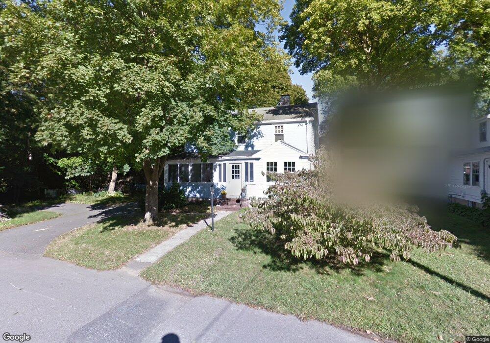
17 Fairlawn St Needham, MA 02492
Estimated Value: $1,358,797 - $1,544,000
4
Beds
2
Baths
1,862
Sq Ft
$791/Sq Ft
Est. Value
About This Home
This home is located at 17 Fairlawn St, Needham, MA 02492 and is currently estimated at $1,472,949, approximately $791 per square foot. 17 Fairlawn St is a home located in Norfolk County with nearby schools including Mitchell Elementary School, High Rock Middle School, and Pollard Middle School.
Ownership History
Date
Name
Owned For
Owner Type
Purchase Details
Closed on
Jun 30, 2004
Sold by
Hewitt Karen L
Bought by
Crocker Arthur R and Crocker Roberta H
Current Estimated Value
Home Financials for this Owner
Home Financials are based on the most recent Mortgage that was taken out on this home.
Original Mortgage
$200,000
Outstanding Balance
$100,439
Interest Rate
6.3%
Mortgage Type
Purchase Money Mortgage
Estimated Equity
$1,372,510
Purchase Details
Closed on
Oct 1, 1999
Sold by
Elsie L Attridge Ret
Bought by
Hewitt Karen L
Home Financials for this Owner
Home Financials are based on the most recent Mortgage that was taken out on this home.
Original Mortgage
$150,000
Interest Rate
7.85%
Mortgage Type
Purchase Money Mortgage
Create a Home Valuation Report for This Property
The Home Valuation Report is an in-depth analysis detailing your home's value as well as a comparison with similar homes in the area
Home Values in the Area
Average Home Value in this Area
Purchase History
| Date | Buyer | Sale Price | Title Company |
|---|---|---|---|
| Crocker Arthur R | $659,000 | -- | |
| Hewitt Karen L | $360,000 | -- |
Source: Public Records
Mortgage History
| Date | Status | Borrower | Loan Amount |
|---|---|---|---|
| Open | Crocker Arthur R | $200,000 | |
| Previous Owner | Hewitt Karen L | $150,000 |
Source: Public Records
Tax History
| Year | Tax Paid | Tax Assessment Tax Assessment Total Assessment is a certain percentage of the fair market value that is determined by local assessors to be the total taxable value of land and additions on the property. | Land | Improvement |
|---|---|---|---|---|
| 2025 | $10,532 | $993,600 | $772,400 | $221,200 |
| 2024 | $10,872 | $868,400 | $580,600 | $287,800 |
| 2023 | $11,037 | $846,400 | $580,600 | $265,800 |
| 2022 | $10,598 | $792,700 | $537,600 | $255,100 |
| 2021 | $10,329 | $792,700 | $537,600 | $255,100 |
| 2020 | $9,821 | $786,300 | $537,600 | $248,700 |
| 2019 | $9,100 | $734,500 | $488,700 | $245,800 |
| 2018 | $8,726 | $734,500 | $488,700 | $245,800 |
| 2017 | $8,372 | $704,100 | $488,700 | $215,400 |
| 2016 | $8,153 | $706,500 | $488,700 | $217,800 |
| 2015 | $7,976 | $706,500 | $488,700 | $217,800 |
| 2014 | $7,410 | $636,600 | $424,900 | $211,700 |
Source: Public Records
Map
Nearby Homes
- 638 Webster St
- 638 Webster St Unit 638
- 510 Webster St
- 190 Brookline St
- 19 Oakland Ave Unit 19
- 58 Morton St
- 17 Lindbergh Ave
- 19 Highland Ct Unit 19
- 36 Otis St Unit 36
- 7 West St
- 40 High St
- 447 Hillside Ave
- 100 Rosemary Way Unit 129
- 385 Hillside Ave
- 385 Hillside Ave Unit 385
- 193 Garden St
- 28 Mercer Rd
- 68 Brookline St
- 3 Crescent Rd
- 176 Highgate St
- 11 Fairlawn St
- 197 Manning St
- 191 Manning St
- 201 Manning St
- 178 Lindbergh Ave
- 331 Brookline St
- 18 Fairlawn St
- 14 Fairlawn St
- 335 Brookline St
- 185 Manning St
- 325 Brookline St
- 172 Lindbergh Ave
- 345 Brookline St
- 184 Lindbergh Ave
- 321 Brookline St
- 166 Lindbergh Ave
- 349 Brookline St
- 190 Lindbergh Ave
- 198 Manning St
- 194 Lindbergh Ave
Your Personal Tour Guide
Ask me questions while you tour the home.