17 Fire Lane 2 Wakefield, RI 02879
Estimated Value: $769,000 - $1,221,000
1
Bed
1
Bath
372
Sq Ft
$2,653/Sq Ft
Est. Value
About This Home
This home is located at 17 Fire Lane 2, Wakefield, RI 02879 and is currently estimated at $987,004, approximately $2,653 per square foot. 17 Fire Lane 2 is a home located in Washington County with nearby schools including South Kingstown High School.
Ownership History
Date
Name
Owned For
Owner Type
Purchase Details
Closed on
Jun 11, 2013
Sold by
Pelletier Barbara
Bought by
Pelletier Brad R
Current Estimated Value
Purchase Details
Closed on
Nov 3, 1998
Sold by
Breakwater Village Inc
Bought by
Pelletier Barbara
Home Financials for this Owner
Home Financials are based on the most recent Mortgage that was taken out on this home.
Original Mortgage
$60,000
Interest Rate
6.68%
Create a Home Valuation Report for This Property
The Home Valuation Report is an in-depth analysis detailing your home's value as well as a comparison with similar homes in the area
Home Values in the Area
Average Home Value in this Area
Purchase History
| Date | Buyer | Sale Price | Title Company |
|---|---|---|---|
| Pelletier Brad R | -- | -- | |
| Pelletier Barbara | $90,000 | -- |
Source: Public Records
Mortgage History
| Date | Status | Borrower | Loan Amount |
|---|---|---|---|
| Previous Owner | Pelletier Barbara | $60,000 |
Source: Public Records
Tax History Compared to Growth
Tax History
| Year | Tax Paid | Tax Assessment Tax Assessment Total Assessment is a certain percentage of the fair market value that is determined by local assessors to be the total taxable value of land and additions on the property. | Land | Improvement |
|---|---|---|---|---|
| 2024 | $5,489 | $838,000 | $439,300 | $398,700 |
| 2023 | $5,485 | $589,200 | $303,300 | $285,900 |
| 2022 | $5,303 | $589,200 | $303,300 | $285,900 |
| 2021 | $5,220 | $589,200 | $303,300 | $285,900 |
| 2020 | $3,921 | $374,100 | $292,600 | $81,500 |
| 2019 | $3,374 | $329,800 | $292,600 | $37,200 |
| 2018 | $3,282 | $329,800 | $292,600 | $37,200 |
| 2017 | $3,139 | $297,300 | $268,000 | $29,300 |
| 2016 | $2,997 | $297,300 | $268,000 | $29,300 |
| 2015 | $2,955 | $297,300 | $268,000 | $29,300 |
| 2014 | $2,715 | $270,400 | $238,200 | $32,200 |
Source: Public Records
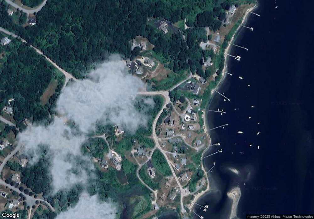
Map
Nearby Homes
- 16 High Tides Ln
- 380 Camp Fuller Rd
- 83 Gooseberry Rd
- 17 Westside Rd
- 2139 Commodore Oliver Hazard Perry Hwy
- 392 Gooseberry Rd
- 20 Marine Dr
- 25 Scallop Shell Rd
- 17 Goose Island Rd
- 689 Succotash Rd
- 691 Succotash Rd
- 101 Kenyon Farm Rd
- 1591 Commodore Perry Hwy
- 14 E Pointe Ct Unit 14
- 31 E Pond Rd
- 6 MacAlder St
- 147 Foddering Farm Rd
- 37 Spartina Cove Way
- 45 Durkin Dr
- 18 Beach Row
- 9 Fire Lane 2
- 4 Fire Lane 2
- 5 Fire Lane 3
- 46 Fire La 1
- 507 Jerry Brown Farm Rd
- 192 Day Lily Cir
- 517 Jerry Brown Farm Rd
- 505 Jerry Brown Farm Rd
- 14 Fire Lane 1
- 14 Fire Lane 1 Unit 14
- 46 Fire Lane 1
- 12 Fire Lane 4
- 681 Kettle Pond Dr
- 667 Kettle Pond Dr
- 561 Kettle Pond Dr
- 577 Kettle Pond Dr
- 535 Jerry Brown Farm Rd
- 208 Day Lily Cir
- 593 Kettle Pond Dr
- 27 Fire Lane 2