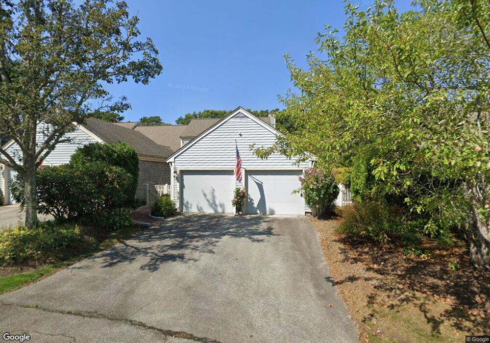
17 Forest Gate Yarmouth Port, MA 02675
Yarmouth Port NeighborhoodEstimated Value: $698,000 - $809,000
2
Beds
4
Baths
1,829
Sq Ft
$424/Sq Ft
Est. Value
About This Home
This home is located at 17 Forest Gate, Yarmouth Port, MA 02675 and is currently estimated at $774,943, approximately $423 per square foot. 17 Forest Gate is a home located in Barnstable County with nearby schools including Dennis-Yarmouth Regional High School.
Ownership History
Date
Name
Owned For
Owner Type
Purchase Details
Closed on
Feb 24, 2021
Sold by
Ferrara Marie E
Bought by
Ferrara Marie E and Paolini Donald J
Current Estimated Value
Purchase Details
Closed on
Sep 21, 2020
Sold by
Betty Y Herr Ret
Bought by
Marie E Ferrara Ret
Purchase Details
Closed on
Apr 3, 1995
Sold by
Kings Way Prop Rt
Bought by
Betty Young Herr T
Create a Home Valuation Report for This Property
The Home Valuation Report is an in-depth analysis detailing your home's value as well as a comparison with similar homes in the area
Home Values in the Area
Average Home Value in this Area
Purchase History
| Date | Buyer | Sale Price | Title Company |
|---|---|---|---|
| Ferrara Marie E | $300,000 | None Available | |
| Ferrara Marie E | -- | None Available | |
| Marie E Ferrara Ret | $595,000 | None Available | |
| Betty Young Herr T | $220,500 | -- |
Source: Public Records
Tax History Compared to Growth
Tax History
| Year | Tax Paid | Tax Assessment Tax Assessment Total Assessment is a certain percentage of the fair market value that is determined by local assessors to be the total taxable value of land and additions on the property. | Land | Improvement |
|---|---|---|---|---|
| 2025 | $5,308 | $749,700 | $0 | $749,700 |
| 2024 | $4,891 | $662,800 | $0 | $662,800 |
| 2023 | $4,301 | $530,300 | $0 | $530,300 |
| 2022 | $5,077 | $553,000 | $0 | $553,000 |
| 2021 | $4,760 | $497,900 | $0 | $497,900 |
| 2020 | $4,806 | $480,600 | $0 | $480,600 |
| 2019 | $4,511 | $446,600 | $0 | $446,600 |
| 2018 | $4,596 | $446,600 | $0 | $446,600 |
| 2017 | $4,134 | $412,600 | $0 | $412,600 |
| 2016 | $3,947 | $395,500 | $0 | $395,500 |
| 2015 | $3,946 | $393,000 | $0 | $393,000 |
Source: Public Records
Map
Nearby Homes
- 30 W Woods Cir Unit 30
- 30 W Woods
- 158 Kates Path
- 2 Pine Grove
- 28 Oak Glen
- 25 Oak Glen Village Unit 25
- 25 Oak Glen
- 17 Kates Path Unit A
- 228 Kates Path
- 19 John Hall Cartway Unit E
- 19 John Halls Cartpath Village Unit E
- 50 John Hall Cartway
- 50 John Hall Cartway Unit 50
- 64 Kates Path
- 42 John Hall Cartway Unit 42
- 43 Canterbury Rd
- 21 Boxwood Cir
- 17 Nottingham Dr
- 44 Stratford Ln
- 800 Route 6a
- 15 Forest Gate
- 13 Forest Gate
- 17 Forest Gate Unit H
- 23 Forest Gate
- 21 Forest Gate
- 19 Forest Gate
- 21 Forest Gate Unit 21
- 21 Forest Gate Unit G
- 19 Forest Gate Unit H
- 23 Forest Gate Unit I
- 11 Forest Gate
- 7 Forest Gate
- 9 Forest Gate Unit G
- 11 Forest Gate Unit H
- 5 Forest Gate
- 3 Forest Gate
- 1 Forest Gate
- 27 Forest Gate
- 25 Forest Gate
- 18 Forest Gate