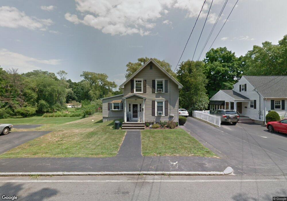
17 Forest Park Rd Woburn, MA 01801
Mishawum NeighborhoodEstimated Value: $738,229 - $837,000
3
Beds
3
Baths
1,921
Sq Ft
$415/Sq Ft
Est. Value
About This Home
This home is located at 17 Forest Park Rd, Woburn, MA 01801 and is currently estimated at $796,807, approximately $414 per square foot. 17 Forest Park Rd is a home located in Middlesex County with nearby schools including Linscott-Rumford Elementary School, John F. Kennedy Middle School, and Woburn High School.
Ownership History
Date
Name
Owned For
Owner Type
Purchase Details
Closed on
Nov 14, 2019
Sold by
Sanborn Linda and Chesley Justin J
Bought by
Linda J Sanborn Ret and Sanborn
Current Estimated Value
Purchase Details
Closed on
Jul 26, 2019
Sold by
Sanborn Linda
Bought by
Sanborn Linda and Chesley Justin J
Purchase Details
Closed on
Mar 14, 2018
Sold by
Pedi Mary N
Bought by
Sanborn Linda
Purchase Details
Closed on
May 24, 2010
Sold by
Pedi Mary N and Sanborn Mary N
Bought by
Pedi Mary N and Sanborn Mary N
Create a Home Valuation Report for This Property
The Home Valuation Report is an in-depth analysis detailing your home's value as well as a comparison with similar homes in the area
Home Values in the Area
Average Home Value in this Area
Purchase History
| Date | Buyer | Sale Price | Title Company |
|---|---|---|---|
| Linda J Sanborn Ret | -- | -- | |
| Linda J Sanborn Ret | -- | -- | |
| Sanborn Linda | -- | -- | |
| Sanborn Linda | -- | -- | |
| Sanborn Linda | -- | -- | |
| Sanborn Linda | -- | -- | |
| Pedi Mary N | -- | -- | |
| Pedi Mary N | -- | -- | |
| Pedi Mary N | -- | -- | |
| Pedi Mary N | -- | -- |
Source: Public Records
Tax History Compared to Growth
Tax History
| Year | Tax Paid | Tax Assessment Tax Assessment Total Assessment is a certain percentage of the fair market value that is determined by local assessors to be the total taxable value of land and additions on the property. | Land | Improvement |
|---|---|---|---|---|
| 2025 | $5,881 | $688,600 | $334,600 | $354,000 |
| 2024 | $5,229 | $648,800 | $318,600 | $330,200 |
| 2023 | $5,270 | $605,700 | $289,700 | $316,000 |
| 2022 | $5,067 | $542,500 | $251,900 | $290,600 |
| 2021 | $9,774 | $498,900 | $239,900 | $259,000 |
| 2020 | $4,635 | $497,300 | $239,900 | $257,400 |
| 2019 | $9,033 | $479,900 | $228,500 | $251,400 |
| 2018 | $4,292 | $434,000 | $209,600 | $224,400 |
| 2017 | $7,773 | $409,800 | $199,700 | $210,100 |
| 2016 | $3,890 | $387,100 | $186,600 | $200,500 |
| 2015 | $3,748 | $368,500 | $174,400 | $194,100 |
| 2014 | $3,521 | $337,300 | $174,400 | $162,900 |
Source: Public Records
Map
Nearby Homes
- 0 Fryeburg Rd
- 52 Middle St
- 38 Middle St
- 3 Highet Ave
- 6 Callahan Dr
- 8 Clinton St
- 20 Barbara Cir
- 12 Mishawum Rd
- 104 Forest Park Rd
- 3 Hart St
- 18 Hamilton Rd
- 166 Place Ln Unit 166
- 168 Place Ln
- 74 Beach St Unit 6-12
- 74 Beach St Unit 3
- 602 Main St Unit 1
- 846 Main St
- 14 Church Ave
- 14 Church Ave Unit 2
- 37 1/2 Chestnut St
- 15 Forest Park Rd
- 19 Forest Park Rd
- 45 Brentwood Rd
- 13 Forest Park Rd
- 14 Forest Park Rd
- 43 Brentwood Rd
- 11 Forest Park Rd
- 21 Forest Park Rd
- 88 Mishawum Rd
- 44 Brentwood Rd
- 41 Brentwood Rd
- 10 Forest Park Rd
- 42 Brentwood Rd
- 90 Mishawum Rd
- 92 Mishawum Rd
- 8 Forest Park Rd
- 29 Forest Park Rd
- 86 Mishawum Rd
- 5 Forest Park Rd
- 104 Mishawum Rd