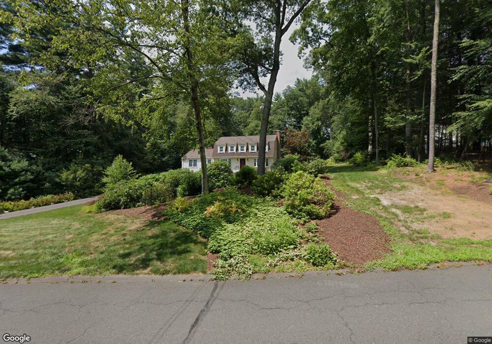
17 Fox Den Rd West Simsbury, CT 06092
Estimated Value: $615,000 - $664,000
4
Beds
3
Baths
2,122
Sq Ft
$299/Sq Ft
Est. Value
About This Home
This home is located at 17 Fox Den Rd, West Simsbury, CT 06092 and is currently estimated at $633,684, approximately $298 per square foot. 17 Fox Den Rd is a home located in Hartford County with nearby schools including Central School, Henry James Memorial School, and Simsbury High School.
Ownership History
Date
Name
Owned For
Owner Type
Purchase Details
Closed on
Jun 27, 2017
Sold by
Spooner Bruce W and Spooner Sibylle E
Bought by
Devoe James and Krajcik Maryanne
Current Estimated Value
Purchase Details
Closed on
Nov 1, 2002
Sold by
Brady Charles A and Brady Bridine R
Bought by
Spooner Bruce W and Spooner Sibylle E
Purchase Details
Closed on
Jun 16, 2000
Sold by
Egan Robert D and Egan Elizabeth N
Bought by
Brady Charles A and Brady Bridine R
Purchase Details
Closed on
Feb 1, 1993
Sold by
Potram Robert and Potram Jane
Bought by
Egan Robert and Egan Elizabeth
Create a Home Valuation Report for This Property
The Home Valuation Report is an in-depth analysis detailing your home's value as well as a comparison with similar homes in the area
Home Values in the Area
Average Home Value in this Area
Purchase History
| Date | Buyer | Sale Price | Title Company |
|---|---|---|---|
| Devoe James | $410,000 | -- | |
| Spooner Bruce W | $424,900 | -- | |
| Brady Charles A | $295,100 | -- | |
| Egan Robert | $224,000 | -- |
Source: Public Records
Mortgage History
| Date | Status | Borrower | Loan Amount |
|---|---|---|---|
| Previous Owner | Egan Robert | $310,000 | |
| Previous Owner | Egan Robert | $330,000 | |
| Previous Owner | Egan Robert | $91,900 |
Source: Public Records
Tax History Compared to Growth
Tax History
| Year | Tax Paid | Tax Assessment Tax Assessment Total Assessment is a certain percentage of the fair market value that is determined by local assessors to be the total taxable value of land and additions on the property. | Land | Improvement |
|---|---|---|---|---|
| 2025 | $10,191 | $298,340 | $101,710 | $196,630 |
| 2024 | $9,938 | $298,340 | $101,710 | $196,630 |
| 2023 | $9,493 | $298,340 | $101,710 | $196,630 |
| 2022 | $9,369 | $242,530 | $109,010 | $133,520 |
| 2021 | $9,369 | $242,530 | $109,010 | $133,520 |
| 2020 | $8,995 | $242,530 | $109,010 | $133,520 |
| 2019 | $9,051 | $242,530 | $109,010 | $133,520 |
| 2018 | $9,117 | $242,530 | $109,010 | $133,520 |
| 2017 | $8,410 | $216,970 | $97,250 | $119,720 |
| 2016 | $8,054 | $216,970 | $97,250 | $119,720 |
| 2015 | $8,054 | $216,970 | $97,250 | $119,720 |
| 2014 | $7,972 | $214,660 | $97,260 | $117,400 |
Source: Public Records
Map
Nearby Homes
- 5 Fox Den Rd
- 18 Meadowlark Rd
- 16 Stratton Forest Way
- 40 Firetown Rd Unit 39
- 141 Firetown Rd
- 3 Stebbins Brook Ln
- 1 West St Unit 206
- 4 Stebbins Brook Ln
- 48 Library Ln Unit 48
- 10 Sachems Trail
- 25 Barry Ln
- 8 Quorn Hunt Rd
- 15 Sand Hill Rd
- 302 Bushy Hill Rd
- 301 Bushy Hill Rd
- 247 Old Farms Rd
- 308 Hopmeadow St
- 324 Firetown Rd
- 26 Winterset Ln
- 9 Gretel Ln