17 Front St Swansea, MA 02777
South Swansea NeighborhoodEstimated Value: $278,000 - $408,000
2
Beds
1
Bath
690
Sq Ft
$497/Sq Ft
Est. Value
About This Home
This home is located at 17 Front St, Swansea, MA 02777 and is currently estimated at $343,173, approximately $497 per square foot. 17 Front St is a home located in Bristol County with nearby schools including Joseph Case High School, Swansea Wood School, and SCEC Life Academy.
Ownership History
Date
Name
Owned For
Owner Type
Purchase Details
Closed on
Oct 12, 2023
Sold by
Cousineau Jason A and Cousineau Lorena
Bought by
Cousineau Jason A and Cousineau Lorena
Current Estimated Value
Purchase Details
Closed on
Oct 1, 2019
Sold by
Cousineau Jeffrey R
Bought by
Cousineau Lorena and Cousineau Jason A
Purchase Details
Closed on
May 21, 2018
Sold by
Cousineau Pauline E Es and Cousineau C
Bought by
Cousineau Jeffrey R and Cousineau Jason A
Purchase Details
Closed on
Sep 26, 1996
Sold by
4000 North Main Rt and Mello
Bought by
Renaissance Dev Corp
Purchase Details
Closed on
Feb 18, 1983
Bought by
Cousineau Roger R and Cousineau Pauline
Create a Home Valuation Report for This Property
The Home Valuation Report is an in-depth analysis detailing your home's value as well as a comparison with similar homes in the area
Home Values in the Area
Average Home Value in this Area
Purchase History
| Date | Buyer | Sale Price | Title Company |
|---|---|---|---|
| Cousineau Jason A | -- | None Available | |
| Cousineau Lorena | $91,250 | -- | |
| Cousineau Jeffrey R | -- | -- | |
| Renaissance Dev Corp | $125,000 | -- | |
| Cousineau Roger R | -- | -- |
Source: Public Records
Tax History Compared to Growth
Tax History
| Year | Tax Paid | Tax Assessment Tax Assessment Total Assessment is a certain percentage of the fair market value that is determined by local assessors to be the total taxable value of land and additions on the property. | Land | Improvement |
|---|---|---|---|---|
| 2025 | $3,433 | $288,000 | $132,000 | $156,000 |
| 2024 | $3,429 | $286,000 | $132,000 | $154,000 |
| 2023 | $3,311 | $252,200 | $96,500 | $155,700 |
| 2022 | $3,278 | $227,800 | $87,700 | $140,100 |
| 2021 | $3,013 | $192,800 | $84,100 | $108,700 |
| 2020 | $2,996 | $192,300 | $84,100 | $108,200 |
| 2019 | $2,840 | $183,100 | $74,900 | $108,200 |
| 2018 | $2,694 | $176,300 | $71,700 | $104,600 |
| 2017 | $2,341 | $176,300 | $71,700 | $104,600 |
| 2016 | $2,289 | $169,300 | $62,000 | $107,300 |
| 2015 | $2,084 | $158,700 | $62,000 | $96,700 |
| 2014 | $2,054 | $160,000 | $62,000 | $98,000 |
Source: Public Records
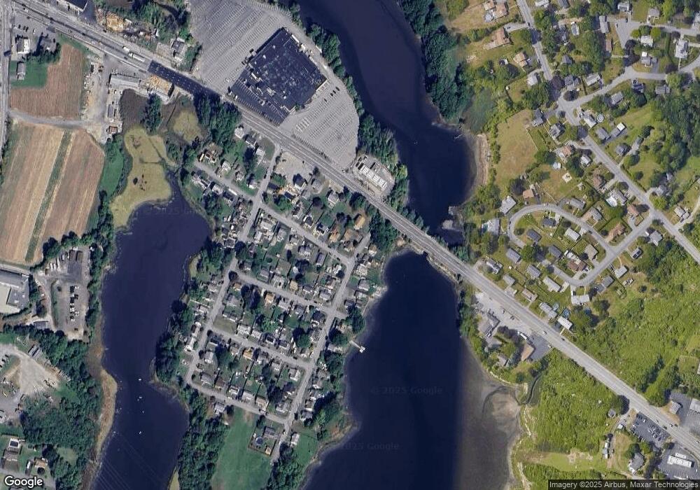
Map
Nearby Homes
- 8 2nd St
- 24 Front St
- 30 Front St
- 675 Lees River Ave
- 34 Base Lodge Ln
- 19 Richard Rd
- 0 Hortonville Rd Unit 73242268
- 197 Alberta Ave
- 127 Sheraton Ave
- 33 Rhinecliffe Rd
- 196 Coolidge St
- 19 Keller Ave
- 194 Hortonville Rd
- 167 Mercier Ave
- 41 James Ave
- 58 Randall Ave
- 265 Stevens Rd
- 60 Aetna St
- 20 Sherbourne Ave
- Lot 11 Lynch
- 9 2nd St
- lot 2 Marvel St
- Lot 2 Purchase St
- 15 2nd St
- 28 Gar Hwy
- Lot 6A Gar Hwy
- 27 Front St
- 12 Front St
- 16 Front St
- 0 2nd St
- 21 2nd St
- 35 Front St
- 36 Gar Hwy
- 14 2nd St
- 0 G A R Hwy Unit 70795014
- 0 G A R Hwy Unit 70829159
- 0 Gar Hwy Unit 70969476
- 0 Gar Hwy Unit 71208064
- 0 Gar Hwy Unit 71312206
- 0 Gar Hwy Unit 71496133