17 Glen Devin St Amesbury, MA 01913
Estimated Value: $305,000 - $332,000
2
Beds
1
Bath
850
Sq Ft
$370/Sq Ft
Est. Value
About This Home
This home is located at 17 Glen Devin St, Amesbury, MA 01913 and is currently estimated at $314,579, approximately $370 per square foot. 17 Glen Devin St is a home located in Essex County with nearby schools including Amesbury High School and Amesbury Seventh-Day Adventist School.
Ownership History
Date
Name
Owned For
Owner Type
Purchase Details
Closed on
Oct 6, 2011
Sold by
Green Cynthia
Bought by
Meader Diana E
Current Estimated Value
Purchase Details
Closed on
Jun 25, 1999
Sold by
Woodman Stephen E
Bought by
Green-Akukwe Cynthia M
Purchase Details
Closed on
Sep 29, 1995
Sold by
Miller James F
Bought by
Woodman Stephen E
Create a Home Valuation Report for This Property
The Home Valuation Report is an in-depth analysis detailing your home's value as well as a comparison with similar homes in the area
Home Values in the Area
Average Home Value in this Area
Purchase History
| Date | Buyer | Sale Price | Title Company |
|---|---|---|---|
| Meader Diana E | $120,000 | -- | |
| Meader Diana E | $120,000 | -- | |
| Green-Akukwe Cynthia M | $66,000 | -- | |
| Green-Akukwe Cynthia M | $66,000 | -- | |
| Woodman Stephen E | $51,000 | -- | |
| Woodman Stephen E | $51,000 | -- |
Source: Public Records
Mortgage History
| Date | Status | Borrower | Loan Amount |
|---|---|---|---|
| Open | Woodman Stephen E | $21,700 | |
| Previous Owner | Woodman Stephen E | $144,800 |
Source: Public Records
Tax History
| Year | Tax Paid | Tax Assessment Tax Assessment Total Assessment is a certain percentage of the fair market value that is determined by local assessors to be the total taxable value of land and additions on the property. | Land | Improvement |
|---|---|---|---|---|
| 2025 | $4,050 | $264,700 | $0 | $264,700 |
| 2024 | $3,572 | $228,400 | $0 | $228,400 |
| 2023 | $3,415 | $209,000 | $0 | $209,000 |
| 2022 | $3,167 | $179,000 | $0 | $179,000 |
| 2021 | $3,031 | $166,100 | $0 | $166,100 |
| 2020 | $2,823 | $164,300 | $0 | $164,300 |
| 2019 | $2,792 | $152,000 | $0 | $152,000 |
| 2018 | $2,645 | $139,300 | $0 | $139,300 |
| 2017 | $2,733 | $137,000 | $0 | $137,000 |
| 2016 | $2,598 | $128,100 | $0 | $128,100 |
| 2015 | $2,492 | $121,300 | $0 | $121,300 |
| 2014 | $2,642 | $126,000 | $0 | $126,000 |
Source: Public Records
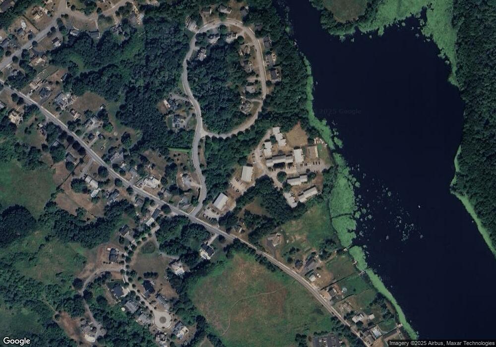
Map
Nearby Homes
- 39 Unicorn Cir
- 20 Mason Ct
- 12 Locke Hill Ln
- 48 Orchard St
- 3 Tremont Ave Unit A
- 19 Maple St Unit 21
- 27 Lake St
- 25 Whittier Meadows Dr
- 8 Winter St
- 101 Market St Unit B
- 149 Market St
- 5 Russell St Unit 1
- 4 Boardman St
- 20 Lincoln Ct
- 4 Larnard Ct
- 25 Cedar St Unit 4
- 1 Hillside Ave Unit 3
- 97 Elm St
- 21 Congress St
- 4 Greenwood St
- 24 Glen Devin St
- 23 Glen Devin St
- 22 Glen Devin St
- 21 Glen Devin St
- 20 Glen Devin St
- 19 Glen Devin St
- 18 Glen Devin St
- 14 Glen Devin St
- 13 Glen Devin St
- 17 Glen Devin St Unit 17
- 20 Glen Devin St Unit 20 2
- 17 Glen Devin St Unit 17-2
- 13 Glen Devin St Unit B2
- 20 Glen Devin St Unit 20
- 22 Glen Devin St Unit 22
- 15 Glen Devin St
- 15 Glen Devin St Unit 15 02
- 15 Glen Devin St Unit 15
- LOT 2 Mendon St
- 58 Glen Devin St
Your Personal Tour Guide
Ask me questions while you tour the home.