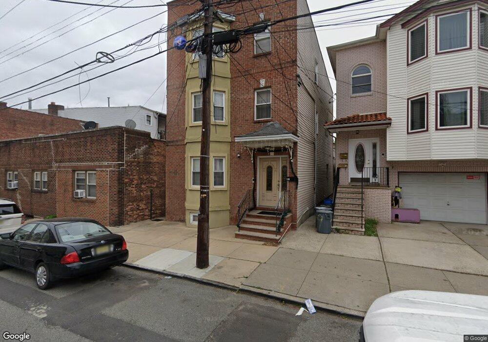
17 Grant Ave Kearny, NJ 07032
Estimated Value: $570,566 - $700,000
--
Bed
--
Bath
2,352
Sq Ft
$275/Sq Ft
Est. Value
About This Home
This home is located at 17 Grant Ave, Kearny, NJ 07032 and is currently estimated at $646,642, approximately $274 per square foot. 17 Grant Ave is a home located in Hudson County with nearby schools including Kearny High School, Kearny Christian Academy, and Marwah Academy.
Ownership History
Date
Name
Owned For
Owner Type
Purchase Details
Closed on
Jul 11, 2007
Sold by
Ferreira Joaquim and Ferreira Nelson
Bought by
Velazco Ricardo and Allende Gladys
Current Estimated Value
Home Financials for this Owner
Home Financials are based on the most recent Mortgage that was taken out on this home.
Original Mortgage
$397,000
Outstanding Balance
$251,744
Interest Rate
6.78%
Mortgage Type
Purchase Money Mortgage
Estimated Equity
$394,898
Purchase Details
Closed on
Feb 9, 1999
Sold by
Baal Severino and Baal Susana
Bought by
Badawi Fahmi
Create a Home Valuation Report for This Property
The Home Valuation Report is an in-depth analysis detailing your home's value as well as a comparison with similar homes in the area
Home Values in the Area
Average Home Value in this Area
Purchase History
| Date | Buyer | Sale Price | Title Company |
|---|---|---|---|
| Velazco Ricardo | $467,500 | Chicago Title Insurance Co | |
| Badawi Fahmi | $70,000 | -- |
Source: Public Records
Mortgage History
| Date | Status | Borrower | Loan Amount |
|---|---|---|---|
| Open | Velazco Ricardo | $397,000 |
Source: Public Records
Tax History Compared to Growth
Tax History
| Year | Tax Paid | Tax Assessment Tax Assessment Total Assessment is a certain percentage of the fair market value that is determined by local assessors to be the total taxable value of land and additions on the property. | Land | Improvement |
|---|---|---|---|---|
| 2025 | $9,998 | $93,400 | $11,600 | $81,800 |
| 2024 | $9,870 | $93,400 | $11,600 | $81,800 |
| 2023 | $9,870 | $93,400 | $11,600 | $81,800 |
| 2022 | $9,846 | $93,400 | $11,600 | $81,800 |
| 2021 | $9,793 | $93,400 | $11,600 | $81,800 |
| 2020 | $9,798 | $93,400 | $11,600 | $81,800 |
| 2019 | $9,846 | $93,400 | $11,600 | $81,800 |
| 2018 | $9,864 | $93,400 | $11,600 | $81,800 |
| 2017 | $9,998 | $93,400 | $11,600 | $81,800 |
| 2016 | $9,965 | $93,400 | $11,600 | $81,800 |
| 2015 | $9,644 | $93,400 | $11,600 | $81,800 |
| 2014 | $9,374 | $93,400 | $11,600 | $81,800 |
Source: Public Records
Map
Nearby Homes
- 8 Lincoln Ave
- Greenwich Plan at Bridgeview
- Union Plan at Bridgeview
- Murray Hill Plan at Bridgeview
- Bowery Plan at Bridgeview
- 242 Grant Ave
- 441 John St
- 59 Rose St
- 406 N 2nd St
- 98 Woodland Ave
- 607 Frank E Rodgers Blvd N
- 118 Maple St
- 430 Central Ave
- 126 Grant Ave
- 62 Wilson Ave
- 105 Grant Ave
- 100 Grant Ave
- 28 Grant Ave
- 323 William St
- 310 Passaic Ave Unit 308