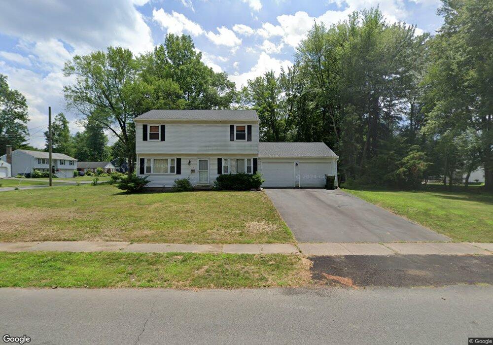
17 Grenhart St West Hartford, CT 06117
Estimated Value: $478,709 - $506,000
3
Beds
2
Baths
1,568
Sq Ft
$311/Sq Ft
Est. Value
About This Home
This home is located at 17 Grenhart St, West Hartford, CT 06117 and is currently estimated at $488,427, approximately $311 per square foot. 17 Grenhart St is a home located in Hartford County with nearby schools including Aiken School, King Philip Middle School, and Delta High School.
Create a Home Valuation Report for This Property
The Home Valuation Report is an in-depth analysis detailing your home's value as well as a comparison with similar homes in the area
Home Values in the Area
Average Home Value in this Area
Tax History Compared to Growth
Tax History
| Year | Tax Paid | Tax Assessment Tax Assessment Total Assessment is a certain percentage of the fair market value that is determined by local assessors to be the total taxable value of land and additions on the property. | Land | Improvement |
|---|---|---|---|---|
| 2025 | $9,814 | $219,170 | $72,520 | $146,650 |
| 2024 | $9,282 | $219,170 | $72,520 | $146,650 |
| 2023 | $8,968 | $219,170 | $72,520 | $146,650 |
| 2022 | $8,916 | $219,170 | $72,520 | $146,650 |
| 2021 | $8,504 | $200,480 | $71,470 | $129,010 |
| 2020 | $7,660 | $183,260 | $64,890 | $118,370 |
| 2019 | $7,660 | $183,260 | $64,890 | $118,370 |
| 2018 | $7,514 | $183,260 | $64,890 | $118,370 |
| 2017 | $7,521 | $183,260 | $64,890 | $118,370 |
| 2016 | $7,077 | $179,130 | $57,190 | $121,940 |
| 2015 | $6,862 | $179,130 | $57,190 | $121,940 |
| 2014 | $6,694 | $179,130 | $57,190 | $121,940 |
Source: Public Records
Map
Nearby Homes
- 139 Mohawk Dr
- 11 Lawler Rd
- 3 Pilgrim Rd
- 148 King Philip Dr
- 30 Farmstead Ln
- 320 N Steele Rd
- 62 Blue Ridge Ln
- 1993 Albany Ave
- 2581 Albany Ave
- 47 Flagg Rd
- 50 Magnolia Hill
- 129 Middlebrook Rd
- 1272 Trout Brook Dr
- 9 Timberwood Rd
- 3 Trumbull Ln
- 11 Rye Ridge Pkwy
- 5 Adams Ln
- 5 Northmoor Rd
- 111 Bloomfield Ave
- 165 Bloomfield Ave