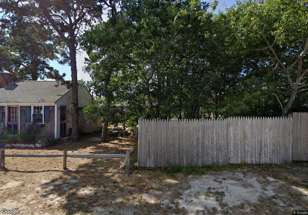
17 Grindell Ave Dennis Port, MA 02639
Dennis Port NeighborhoodEstimated Value: $510,000 - $628,296
2
Beds
1
Bath
812
Sq Ft
$712/Sq Ft
Est. Value
About This Home
This home is located at 17 Grindell Ave, Dennis Port, MA 02639 and is currently estimated at $578,074, approximately $711 per square foot. 17 Grindell Ave is a home located in Barnstable County with nearby schools including Dennis-Yarmouth Regional High School and St. Pius X. School.
Ownership History
Date
Name
Owned For
Owner Type
Purchase Details
Closed on
Nov 13, 1998
Sold by
Krajewski Matthew C and Krajewski Stasia M
Bought by
Iarrusso John L and Iaarrusso Barbara A
Current Estimated Value
Home Financials for this Owner
Home Financials are based on the most recent Mortgage that was taken out on this home.
Original Mortgage
$74,900
Outstanding Balance
$16,435
Interest Rate
6.65%
Mortgage Type
Purchase Money Mortgage
Estimated Equity
$561,639
Create a Home Valuation Report for This Property
The Home Valuation Report is an in-depth analysis detailing your home's value as well as a comparison with similar homes in the area
Home Values in the Area
Average Home Value in this Area
Purchase History
| Date | Buyer | Sale Price | Title Company |
|---|---|---|---|
| Iarrusso John L | $94,900 | -- |
Source: Public Records
Mortgage History
| Date | Status | Borrower | Loan Amount |
|---|---|---|---|
| Open | Iarrusso John L | $74,900 |
Source: Public Records
Tax History Compared to Growth
Tax History
| Year | Tax Paid | Tax Assessment Tax Assessment Total Assessment is a certain percentage of the fair market value that is determined by local assessors to be the total taxable value of land and additions on the property. | Land | Improvement |
|---|---|---|---|---|
| 2025 | $2,506 | $578,700 | $271,500 | $307,200 |
| 2024 | $2,340 | $533,100 | $261,100 | $272,000 |
| 2023 | $2,264 | $484,800 | $237,400 | $247,400 |
| 2022 | $2,065 | $368,800 | $187,100 | $181,700 |
| 2021 | $2,004 | $332,400 | $183,400 | $149,000 |
| 2020 | $1,954 | $320,300 | $183,400 | $136,900 |
| 2019 | $1,902 | $308,200 | $195,200 | $113,000 |
| 2018 | $1,839 | $290,000 | $185,900 | $104,100 |
| 2017 | $1,673 | $272,000 | $171,200 | $100,800 |
| 2016 | $1,617 | $247,700 | $161,400 | $86,300 |
| 2015 | $1,585 | $247,700 | $161,400 | $86,300 |
| 2014 | $1,511 | $237,900 | $151,600 | $86,300 |
Source: Public Records
Map
Nearby Homes
- 37 Ocean Dr Unit 2
- 64 Beaten Rd
- 112 Old Wharf Rd Unit E4
- 112 Old Wharf Rd Unit E1
- 120 Old Wharf Rd Unit 11
- 154 Old Wharf Rd Unit 26
- 154 Old Wharf Rd Unit 14
- 80 Michaels Ave
- 6 Baker Way
- 217 Old Wharf Rd Unit 64
- 241 Old Wharf Rd Unit 82
- 241 Old Wharf Rd Unit 127
- 241 Old Wharf Rd Unit 90
- 31 Easy St
- 262 Old Wharf Rd Unit 67
- 262 Old Wharf Rd Unit 5
- 262 Old Wharf Rd Unit 5
- 262 Old Wharf Rd Unit 20
- 262 Old Wharf Rd Unit 87
- 61 Trotters Ln