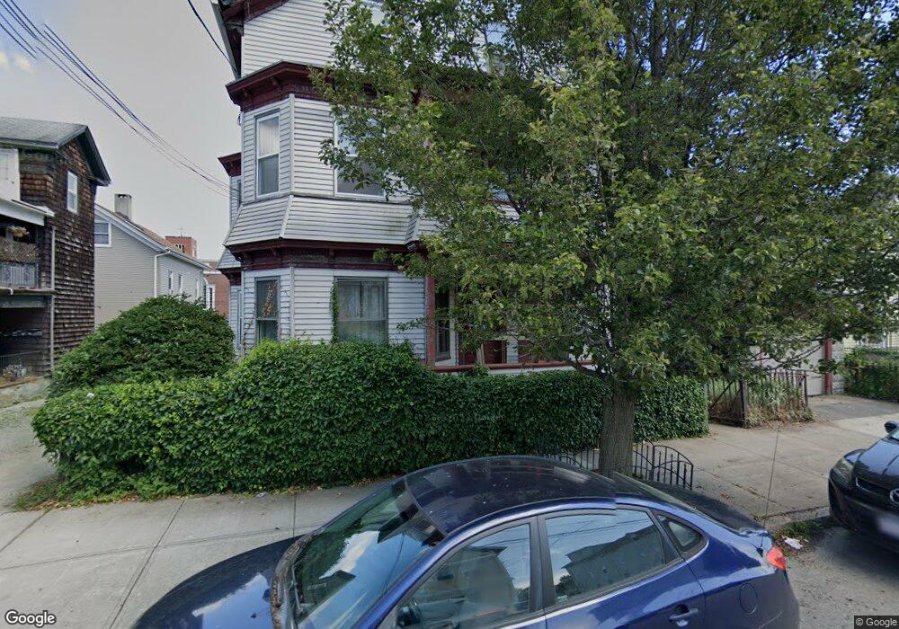
17 Grove St Unit 19 Fall River, MA 02720
Bank Street NeighborhoodEstimated Value: $383,000 - $577,000
7
Beds
2
Baths
3,024
Sq Ft
$159/Sq Ft
Est. Value
About This Home
This home is located at 17 Grove St Unit 19, Fall River, MA 02720 and is currently estimated at $481,343, approximately $159 per square foot. 17 Grove St Unit 19 is a home located in Bristol County with nearby schools including Mary Fonseca Elementary School, Morton Middle School, and B M C Durfee High School.
Ownership History
Date
Name
Owned For
Owner Type
Purchase Details
Closed on
Mar 31, 1999
Sold by
Chapman Douglas E and Chapman Jean M
Bought by
Boulay Jamie L
Current Estimated Value
Home Financials for this Owner
Home Financials are based on the most recent Mortgage that was taken out on this home.
Original Mortgage
$97,198
Interest Rate
6.78%
Mortgage Type
Purchase Money Mortgage
Create a Home Valuation Report for This Property
The Home Valuation Report is an in-depth analysis detailing your home's value as well as a comparison with similar homes in the area
Home Values in the Area
Average Home Value in this Area
Purchase History
| Date | Buyer | Sale Price | Title Company |
|---|---|---|---|
| Boulay Jamie L | $98,000 | -- |
Source: Public Records
Mortgage History
| Date | Status | Borrower | Loan Amount |
|---|---|---|---|
| Open | Boulay Jamie L | $130,000 | |
| Closed | Boulay Jamie L | $97,198 |
Source: Public Records
Tax History
| Year | Tax Paid | Tax Assessment Tax Assessment Total Assessment is a certain percentage of the fair market value that is determined by local assessors to be the total taxable value of land and additions on the property. | Land | Improvement |
|---|---|---|---|---|
| 2025 | $5,007 | $437,300 | $105,700 | $331,600 |
| 2024 | $4,573 | $398,000 | $101,800 | $296,200 |
| 2023 | $4,164 | $339,400 | $84,100 | $255,300 |
| 2022 | $3,850 | $305,100 | $80,100 | $225,000 |
| 2021 | $3,536 | $255,700 | $76,200 | $179,500 |
| 2020 | $3,162 | $218,800 | $75,100 | $143,700 |
| 2019 | $2,996 | $205,500 | $72,300 | $133,200 |
| 2018 | $2,778 | $190,000 | $78,400 | $111,600 |
| 2017 | $2,521 | $180,100 | $74,700 | $105,400 |
| 2016 | $2,485 | $182,300 | $79,500 | $102,800 |
| 2015 | $2,384 | $182,300 | $79,500 | $102,800 |
| 2014 | $2,378 | $189,000 | $77,100 | $111,900 |
Source: Public Records
Map
Nearby Homes
- 464 Bank St Unit 10
- 89 Oak St
- 104 Oak St
- 233 Franklin St
- 229 Franklin St
- 528 Cherry St Unit 3
- 511 Bank St
- 631 Walnut St
- 360 High St
- 150 Purchase St
- 243 Robeson St Unit 6
- 243 Robeson St Unit 3
- 499 Maple St
- 450 Rock St Unit 1
- 206 Durfee St Unit 1A
- 206 Durfee St Unit 1B
- 992 Pine St
- 218 Plain St
- 545 Robeson St
- 217 Plain St
- 27 Grove St
- 162 Ogrady St
- 13 Grove St
- 178 Ogrady St
- 9 Grove St
- 9 Grove St Unit 2
- 9 Grove St Unit 3
- 37 Grove St
- 171 O'Grady Unit 20
- 171 O'Grady Unit 23
- 171 O'Grady Unit 4
- 171 O'Grady Unit 3
- 171 O'Grady Unit 208
- 171 O'Grady Unit 206
- 171 O'Grady Unit 302
- 171 O'Grady Unit 23/209
- 171 O'Grady Unit 4,104
- 171 O'Grady Unit 28/305
- 24 Grove St
- 188 Ogrady St
Your Personal Tour Guide
Ask me questions while you tour the home.