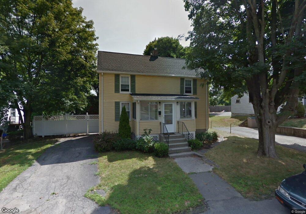
17 Grove St Woburn, MA 01801
Downtown Woburn NeighborhoodEstimated Value: $558,003 - $684,000
2
Beds
1
Bath
1,020
Sq Ft
$590/Sq Ft
Est. Value
About This Home
This home is located at 17 Grove St, Woburn, MA 01801 and is currently estimated at $602,251, approximately $590 per square foot. 17 Grove St is a home located in Middlesex County with nearby schools including Hurld Elementary School, Daniel L. Joyce Middle School, and Woburn High School.
Ownership History
Date
Name
Owned For
Owner Type
Purchase Details
Closed on
Nov 20, 2006
Sold by
Bambury Warren T
Bought by
Burzycki Karen B
Current Estimated Value
Home Financials for this Owner
Home Financials are based on the most recent Mortgage that was taken out on this home.
Original Mortgage
$217,500
Interest Rate
6.33%
Mortgage Type
Purchase Money Mortgage
Purchase Details
Closed on
Jun 1, 2005
Sold by
17 Grove St T and Equity Holding Corp
Bought by
Bambury Warren T
Purchase Details
Closed on
May 13, 2004
Sold by
Ohalloran Karen F and Ohalloran Karen
Bought by
17 Grove Street T and Equity Holding Corp
Purchase Details
Closed on
Nov 17, 1995
Sold by
Mcdonald Cheryl A and Wilson Charles W
Bought by
Ohalloran Karen F
Create a Home Valuation Report for This Property
The Home Valuation Report is an in-depth analysis detailing your home's value as well as a comparison with similar homes in the area
Home Values in the Area
Average Home Value in this Area
Purchase History
| Date | Buyer | Sale Price | Title Company |
|---|---|---|---|
| Burzycki Karen B | $290,000 | -- | |
| Burzycki Karen B | $290,000 | -- | |
| Bambury Warren T | $266,500 | -- | |
| Bambury Warren T | $266,500 | -- | |
| 17 Grove Street T | -- | -- | |
| 17 Grove Street T | -- | -- | |
| Ohalloran Karen F | $117,500 | -- |
Source: Public Records
Mortgage History
| Date | Status | Borrower | Loan Amount |
|---|---|---|---|
| Open | Ohalloran Karen F | $209,000 | |
| Closed | Burzycki Karen B | $217,500 |
Source: Public Records
Tax History
| Year | Tax Paid | Tax Assessment Tax Assessment Total Assessment is a certain percentage of the fair market value that is determined by local assessors to be the total taxable value of land and additions on the property. | Land | Improvement |
|---|---|---|---|---|
| 2025 | $4,433 | $519,100 | $301,300 | $217,800 |
| 2024 | $3,945 | $489,500 | $287,000 | $202,500 |
| 2023 | $3,952 | $454,200 | $260,900 | $193,300 |
| 2022 | $3,771 | $403,700 | $226,800 | $176,900 |
| 2021 | $3,474 | $372,400 | $216,000 | $156,400 |
| 2020 | $3,461 | $371,400 | $216,000 | $155,400 |
| 2019 | $3,364 | $354,100 | $205,700 | $148,400 |
| 2018 | $3,190 | $322,500 | $188,800 | $133,700 |
| 2017 | $3,026 | $304,400 | $179,800 | $124,600 |
| 2016 | $2,880 | $286,600 | $168,000 | $118,600 |
| 2015 | $2,761 | $271,500 | $157,000 | $114,500 |
| 2014 | $2,708 | $259,400 | $157,000 | $102,400 |
Source: Public Records
Map
Nearby Homes
- 80 N Warren St Unit 30
- 80 N Warren St Unit 31
- 15 Hillside Ave
- 26 Flagg St
- 17 Wright St
- 52 Pleasant St
- 21 Chestnut St
- 1 Linden St
- 555 Main St Unit 11
- 477 Main St
- 166 Place Ln Unit 166
- 380 Place Ln
- 31 Arlington Rd Unit 1-6
- 14 Church Ave
- 27 Arlington Rd Unit 2
- 18 Church St Unit 2
- 29 Arlington Rd Unit 3-2
- 29 Arlington Rd Unit 5
- 4 Gangi Terrace
- 7 Prospect St
Your Personal Tour Guide
Ask me questions while you tour the home.