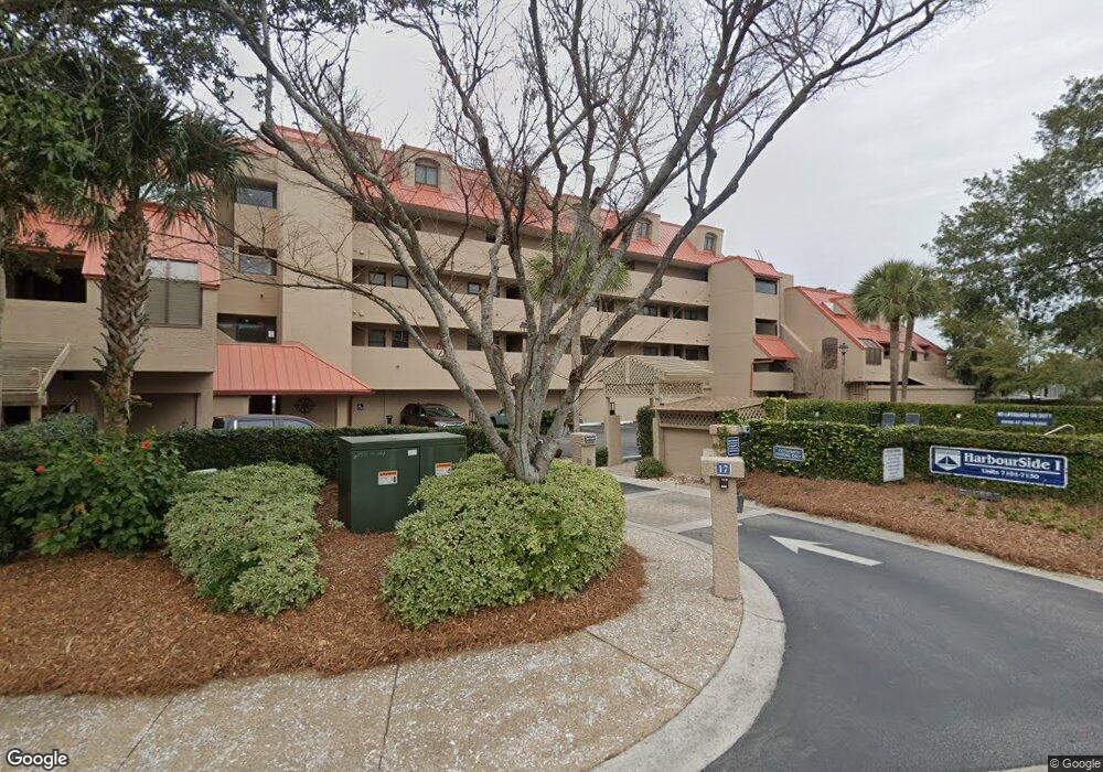
Harbourside 17 Harbourside Ln Unit 7121 Hilton Head Island, SC 29928
Palmetto Dunes NeighborhoodEstimated Value: $521,657 - $542,000
1
Bed
2
Baths
990
Sq Ft
$534/Sq Ft
Est. Value
About This Home
This home is located at 17 Harbourside Ln Unit 7121, Hilton Head Island, SC 29928 and is currently estimated at $528,664, approximately $534 per square foot. 17 Harbourside Ln Unit 7121 is a home located in Beaufort County with nearby schools including Hilton Head Island Early Childhood Center, Hilton Head Island Elementary School, and Hilton Head Island Middle School.
Ownership History
Date
Name
Owned For
Owner Type
Purchase Details
Closed on
Nov 21, 2019
Sold by
Elias Gwyn A
Bought by
Klofas John M and Klofas Mary Beth
Current Estimated Value
Purchase Details
Closed on
Jul 25, 2008
Sold by
Willis James B and Willis Paula
Bought by
Norris Lesley D and Phillips Rodney Joe
Home Financials for this Owner
Home Financials are based on the most recent Mortgage that was taken out on this home.
Original Mortgage
$150,000
Interest Rate
6%
Mortgage Type
Purchase Money Mortgage
Purchase Details
Closed on
Jul 17, 2001
Sold by
Mabie John R
Bought by
Willis James B and Willis Paula
Home Financials for this Owner
Home Financials are based on the most recent Mortgage that was taken out on this home.
Original Mortgage
$156,000
Interest Rate
6.5%
Create a Home Valuation Report for This Property
The Home Valuation Report is an in-depth analysis detailing your home's value as well as a comparison with similar homes in the area
Home Values in the Area
Average Home Value in this Area
Purchase History
| Date | Buyer | Sale Price | Title Company |
|---|---|---|---|
| Klofas John M | $255,000 | None Available | |
| Norris Lesley D | $327,500 | -- | |
| Willis James B | $195,000 | -- |
Source: Public Records
Mortgage History
| Date | Status | Borrower | Loan Amount |
|---|---|---|---|
| Previous Owner | Norris Lesley D | $150,000 | |
| Previous Owner | Willis James B | $156,000 |
Source: Public Records
Tax History Compared to Growth
Tax History
| Year | Tax Paid | Tax Assessment Tax Assessment Total Assessment is a certain percentage of the fair market value that is determined by local assessors to be the total taxable value of land and additions on the property. | Land | Improvement |
|---|---|---|---|---|
| 2024 | $4,549 | $17,600 | $0 | $0 |
| 2023 | $4,549 | $17,600 | $0 | $0 |
| 2022 | $4,120 | $15,300 | $0 | $0 |
| 2021 | $4,132 | $15,300 | $0 | $0 |
| 2020 | $4,007 | $15,300 | $0 | $0 |
| 2019 | $2,875 | $11,330 | $0 | $0 |
| 2018 | $2,737 | $11,330 | $0 | $0 |
| 2017 | $2,486 | $9,850 | $0 | $0 |
| 2016 | $2,362 | $9,850 | $0 | $0 |
| 2014 | $2,428 | $9,850 | $0 | $0 |
Source: Public Records
About Harbourside
Map
Nearby Homes
- 13 Harbourside Ln Unit 7155
- 13 Harbourside Ln Unit 7170
- 13 Harbourside Ln Unit 7165
- 9 Harbourside Ln Unit 7330C
- 9 Harbourside Ln Unit 7327B
- 9 Harbourside Ln Unit 7338B
- 9 Harbourside Ln Unit 7322A
- 9 Harbourside Ln Unit 7338A
- 10 Newport Dr Unit 3302
- 5 Newport Dr Unit 2200
- 5 Newport Dr Unit 2105
- 5 Newport Dr Unit 7102
- 5 Newport Dr Unit 2205
- 5 Newport Dr Unit 5203
- 20 Tradewinds Trace Unit 4
- 7 Shelter Cove Ln Unit 7517
- 12 Brittany Place Dr Unit 12
- 36 Brittany Place Dr Unit 36
- 2 Shelter Cove Ln Unit 240
- 3 Shelter Cove Ln Unit 7474
- 17 Harbourside Ln Unit 7114
- 17 Harbourside Ln Unit 7130
- 17 Harbourside Ln Unit 7129
- 17 Harbourside Ln Unit 7128
- 17 Harbourside Ln Unit 7124
- 17 Harbourside Ln Unit 7116
- 17 Harbourside Ln Unit 7107
- 17 Harbourside Ln Unit 7106
- 17 Harbourside Ln Unit 7105
- 17 Harbourside Ln Unit 7101
- 17 Harbourside Ln Unit 7115
- 17 Harbourside Ln Unit 7102
- 17 Harbourside Ln Unit 7122
- 17 Harbourside Ln Unit 7120
- 17 Harbourside Ln Unit 7131
- 17 Harbourside Ln Unit 7125
- 17 Harbourside Ln Unit 7132
- 17 Harbourside Ln Unit 7103
- 17 Harbourside Ln Unit 7118
- 17 Harbourside Ln Unit 7127