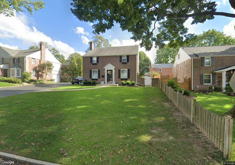
17 Hawthorne Ln Bryn Mawr, PA 19010
Rosemont NeighborhoodEstimated Value: $837,000 - $1,002,000
3
Beds
2
Baths
1,840
Sq Ft
$482/Sq Ft
Est. Value
About This Home
This home is located at 17 Hawthorne Ln, Bryn Mawr, PA 19010 and is currently estimated at $887,290, approximately $482 per square foot. 17 Hawthorne Ln is a home located in Delaware County with nearby schools including Radnor El School, Radnor Middle School, and Radnor Senior High School.
Ownership History
Date
Name
Owned For
Owner Type
Purchase Details
Closed on
Apr 30, 1998
Sold by
Pendergast Jeffrey R
Bought by
Sucher Donald J and Sucher Allyssa Barone
Current Estimated Value
Home Financials for this Owner
Home Financials are based on the most recent Mortgage that was taken out on this home.
Original Mortgage
$150,000
Outstanding Balance
$29,258
Interest Rate
7.08%
Mortgage Type
Purchase Money Mortgage
Estimated Equity
$858,032
Purchase Details
Closed on
Dec 6, 1995
Sold by
Rubal Mary Ann Elizabeth
Bought by
Pendergast Jeffrey R
Home Financials for this Owner
Home Financials are based on the most recent Mortgage that was taken out on this home.
Original Mortgage
$94,500
Interest Rate
7.33%
Mortgage Type
Seller Take Back
Create a Home Valuation Report for This Property
The Home Valuation Report is an in-depth analysis detailing your home's value as well as a comparison with similar homes in the area
Home Values in the Area
Average Home Value in this Area
Purchase History
| Date | Buyer | Sale Price | Title Company |
|---|---|---|---|
| Sucher Donald J | $240,000 | Commonwealth Land Title Ins | |
| Pendergast Jeffrey R | $105,000 | Commonwealth Land Title Ins |
Source: Public Records
Mortgage History
| Date | Status | Borrower | Loan Amount |
|---|---|---|---|
| Open | Sucher Donald J | $150,000 | |
| Previous Owner | Pendergast Jeffrey R | $94,500 |
Source: Public Records
Tax History Compared to Growth
Tax History
| Year | Tax Paid | Tax Assessment Tax Assessment Total Assessment is a certain percentage of the fair market value that is determined by local assessors to be the total taxable value of land and additions on the property. | Land | Improvement |
|---|---|---|---|---|
| 2025 | $9,350 | $462,460 | $110,280 | $352,180 |
| 2024 | $9,350 | $462,460 | $110,280 | $352,180 |
| 2023 | $8,979 | $462,460 | $110,280 | $352,180 |
| 2022 | $8,882 | $462,460 | $110,280 | $352,180 |
| 2021 | $14,266 | $462,460 | $110,280 | $352,180 |
| 2020 | $6,222 | $178,860 | $63,290 | $115,570 |
| 2019 | $6,047 | $178,860 | $63,290 | $115,570 |
| 2018 | $5,928 | $178,860 | $0 | $0 |
| 2017 | $5,804 | $178,860 | $0 | $0 |
| 2016 | $982 | $178,860 | $0 | $0 |
| 2015 | $982 | $178,860 | $0 | $0 |
| 2014 | $982 | $178,860 | $0 | $0 |
Source: Public Records
Map
Nearby Homes
- 131 Fairfax Rd
- 68 Garrett Ave
- 189 Meredith Ave
- 1030 E Lancaster Ave Unit 216
- 1030 E Lancaster Ave Unit 923
- 219 S Ithan Ave
- 7 Lockwood Ln
- 4 Lockwood Ln
- 3 Lockwood Ln
- 200 S Ithan Ave
- 12 Lockwood Ln
- 15 Lockwood Ln
- 1962 Montgomery Ave
- 28 S Warner Ave
- 406 Barclay Rd
- 50 Prospect Ave
- 390 S Bryn Mawr Ave
- 922 Montgomery Ave Unit B2
- 27 S Merion Ave
- 75 S Merion Ave
- 15 Hawthorne Ln
- 20 Old Oaks Rd
- 18 Old Oaks Rd
- 13 Hawthorne Ln
- 22 Old Oaks Rd
- 18 Hawthorne Ln
- 16 Hawthorne Ln
- 16 Old Oaks Rd
- 20 Hawthorne Ln
- 14 Hawthorne Ln
- 11 Hawthorne Ln
- 110 Buckingham Dr
- 108 Buckingham Dr
- 14 Old Oaks Rd
- 112 Buckingham Dr
- 12 Hawthorne Ln
- 106 Buckingham Dr
- 15 Black Friar Rd
- 13 Black Friar Rd
- 9 Hawthorne Ln