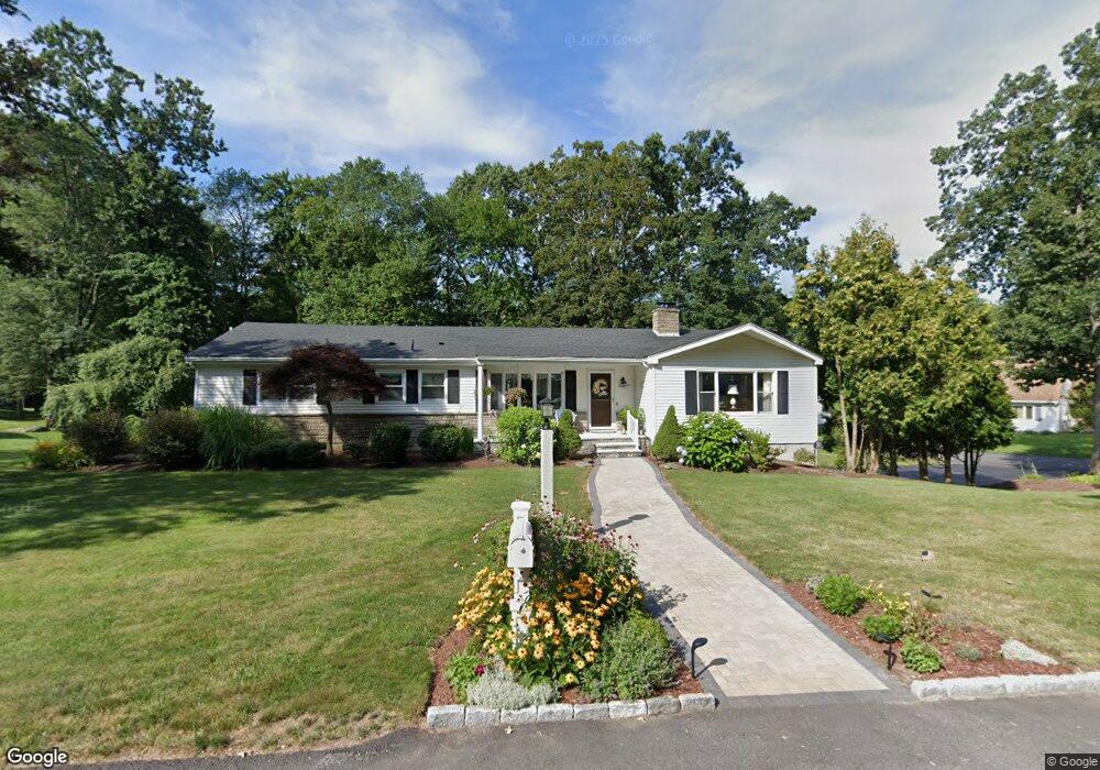
17 High Ridge Dr Cumberland, RI 02864
Cumberland Hill NeighborhoodEstimated Value: $655,597 - $860,000
4
Beds
3
Baths
3,464
Sq Ft
$213/Sq Ft
Est. Value
About This Home
This home is located at 17 High Ridge Dr, Cumberland, RI 02864 and is currently estimated at $736,899, approximately $212 per square foot. 17 High Ridge Dr is a home located in Providence County with nearby schools including Ashton Elementary School, North Cumberland Middle School, and Cumberland High School.
Ownership History
Date
Name
Owned For
Owner Type
Purchase Details
Closed on
Jul 17, 1997
Sold by
Nayak Ramakrishna and Nayak Kamakshi
Bought by
Smith Gregory E
Current Estimated Value
Create a Home Valuation Report for This Property
The Home Valuation Report is an in-depth analysis detailing your home's value as well as a comparison with similar homes in the area
Home Values in the Area
Average Home Value in this Area
Purchase History
| Date | Buyer | Sale Price | Title Company |
|---|---|---|---|
| Smith Gregory E | $175,000 | -- |
Source: Public Records
Mortgage History
| Date | Status | Borrower | Loan Amount |
|---|---|---|---|
| Open | Smith Gregory E | $112,121 | |
| Closed | Smith Gregory E | $105,000 | |
| Closed | Smith Gregory E | $60,000 | |
| Closed | Smith Gregory E | $25,000 |
Source: Public Records
Tax History
| Year | Tax Paid | Tax Assessment Tax Assessment Total Assessment is a certain percentage of the fair market value that is determined by local assessors to be the total taxable value of land and additions on the property. | Land | Improvement |
|---|---|---|---|---|
| 2025 | $6,315 | $514,700 | $159,200 | $355,500 |
| 2024 | $6,151 | $514,700 | $159,200 | $355,500 |
| 2023 | $5,981 | $514,700 | $159,200 | $355,500 |
| 2022 | $6,110 | $407,600 | $125,800 | $281,800 |
| 2021 | $6,008 | $407,600 | $125,800 | $281,800 |
| 2020 | $5,837 | $407,600 | $125,800 | $281,800 |
| 2019 | $5,593 | $352,200 | $107,200 | $245,000 |
| 2018 | $5,431 | $352,200 | $107,200 | $245,000 |
| 2017 | $5,357 | $352,200 | $107,200 | $245,000 |
| 2016 | $5,245 | $307,100 | $107,200 | $199,900 |
| 2015 | $5,245 | $307,100 | $107,200 | $199,900 |
| 2014 | $5,245 | $307,100 | $107,200 | $199,900 |
| 2013 | $5,012 | $317,600 | $107,200 | $210,400 |
Source: Public Records
Map
Nearby Homes
- 73 Westwood Dr
- 1302 Hunting Hill Dr
- 46 Circledale Dr
- 1504 Hunting Hill Dr
- 1502 Hunting Hill Dr
- 1503 Hunting Hill Dr
- 1501 Hunting Hill Dr
- 2970 Mendon Rd Unit 187
- 2 School St Unit 223
- 2 School St Unit 409
- 27 Oxford Rd
- 140 Lippitt Ave
- 54 Sulyma St
- 3200 Mendon Rd
- 94 Kay St
- 150 Leigh Rd
- 40 Heroux Blvd
- 400 New River Rd Unit 507
- 48 Nate Whipple Hwy
- 200 Heroux Blvd Unit 406
- 6 Deerfield Rd
- 18 High Ridge Dr
- 16 High Ridge Dr
- 1 Deerfield Rd
- 22 High Ridge Dr
- 5 Deerfield Rd
- 2 Rocky Crest Rd
- 7 High Ridge Dr
- 10 Deerfield Rd
- 9 Deerfield Rd
- 10 High Ridge Dr
- 6 High Ridge Dr
- 5 High Ridge Dr
- 7 Rocky Crest Rd
- 26 High Ridge Dr
- 6 Rocky Crest Rd
- 9 Rocky Crest Rd
- 29 High Ridge Dr
- 30 High Ridge Dr
- 2 High Ridge Dr
Your Personal Tour Guide
Ask me questions while you tour the home.