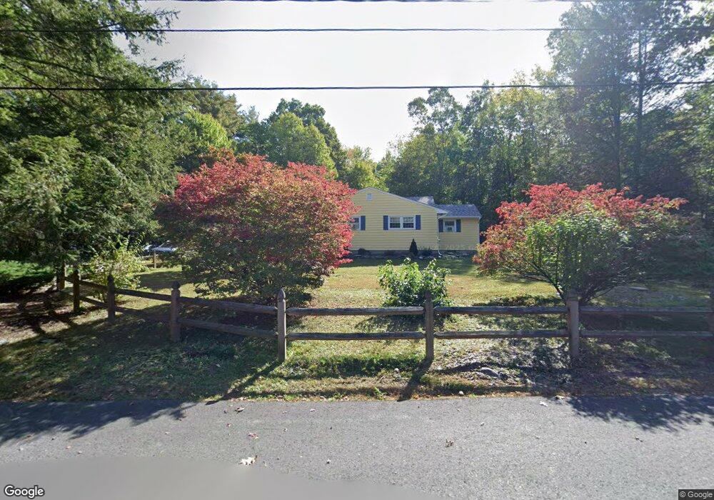
17 Hillcrest Dr Harvard, MA 01451
Estimated Value: $681,867 - $893,000
4
Beds
4
Baths
1,706
Sq Ft
$462/Sq Ft
Est. Value
About This Home
This home is located at 17 Hillcrest Dr, Harvard, MA 01451 and is currently estimated at $787,967, approximately $461 per square foot. 17 Hillcrest Dr is a home located in Worcester County with nearby schools including Hildreth Elementary School and The Bromfield School.
Ownership History
Date
Name
Owned For
Owner Type
Purchase Details
Closed on
Dec 17, 2020
Sold by
Kenney Brian and Kenney Marlene
Bought by
Kenney Lt
Current Estimated Value
Purchase Details
Closed on
Jul 6, 1994
Sold by
Falen Rt I and Mcelroy Amy
Bought by
Kenney Brian and Kenney Marlene
Purchase Details
Closed on
Jan 29, 1993
Sold by
West David G and West Karen
Bought by
Falen Jeanne L
Create a Home Valuation Report for This Property
The Home Valuation Report is an in-depth analysis detailing your home's value as well as a comparison with similar homes in the area
Home Values in the Area
Average Home Value in this Area
Purchase History
| Date | Buyer | Sale Price | Title Company |
|---|---|---|---|
| Kenney Lt | -- | None Available | |
| Kenney Brian | $230,000 | -- | |
| Falen Jeanne L | $182,000 | -- |
Source: Public Records
Mortgage History
| Date | Status | Borrower | Loan Amount |
|---|---|---|---|
| Previous Owner | Falen Jeanne L | $40,000 | |
| Previous Owner | Falen Jeanne L | $291,000 |
Source: Public Records
Tax History
| Year | Tax Paid | Tax Assessment Tax Assessment Total Assessment is a certain percentage of the fair market value that is determined by local assessors to be the total taxable value of land and additions on the property. | Land | Improvement |
|---|---|---|---|---|
| 2025 | $9,121 | $582,800 | $269,200 | $313,600 |
| 2024 | $8,684 | $582,800 | $269,200 | $313,600 |
| 2023 | $8,712 | $524,500 | $249,300 | $275,200 |
| 2022 | $8,355 | $466,500 | $235,200 | $231,300 |
| 2021 | $8,376 | $446,000 | $235,200 | $210,800 |
| 2020 | $7,451 | $403,400 | $235,200 | $168,200 |
| 2019 | $6,712 | $385,300 | $235,200 | $150,100 |
| 2018 | $6,608 | $385,300 | $235,200 | $150,100 |
| 2017 | $5,832 | $322,200 | $195,200 | $127,000 |
| 2016 | $5,670 | $314,100 | $195,200 | $118,900 |
| 2015 | $5,734 | $322,300 | $191,200 | $131,100 |
| 2014 | $5,508 | $322,300 | $191,200 | $131,100 |
Source: Public Records
Map
Nearby Homes
- 13 Pine Hill Way
- 14 Pine Hill Way
- 16 A Pine Hill Way Unit 16AA
- 18 B Pine Hill Way Unit BB
- 555 Old Harvard Rd
- 53 Sylvan Dr
- 90 Corn Rd
- 19 Partridge Hill Rd
- 310 Codman Hill Rd Unit 35D
- 276 Codman Hill Rd Unit 36A
- 98 Meadow Rd
- 39 Ridgewood Dr Unit 39
- 54 Orchard Dr Unit 54
- 21 Woodside Rd
- 17 W View Ln Unit 17
- 236 Bolton Rd
- 40 Fifers Ln
- 20 Lyons Ln Unit 20
- 79 Taylor Rd
- 77 Wheeler Dr Unit 77
Your Personal Tour Guide
Ask me questions while you tour the home.