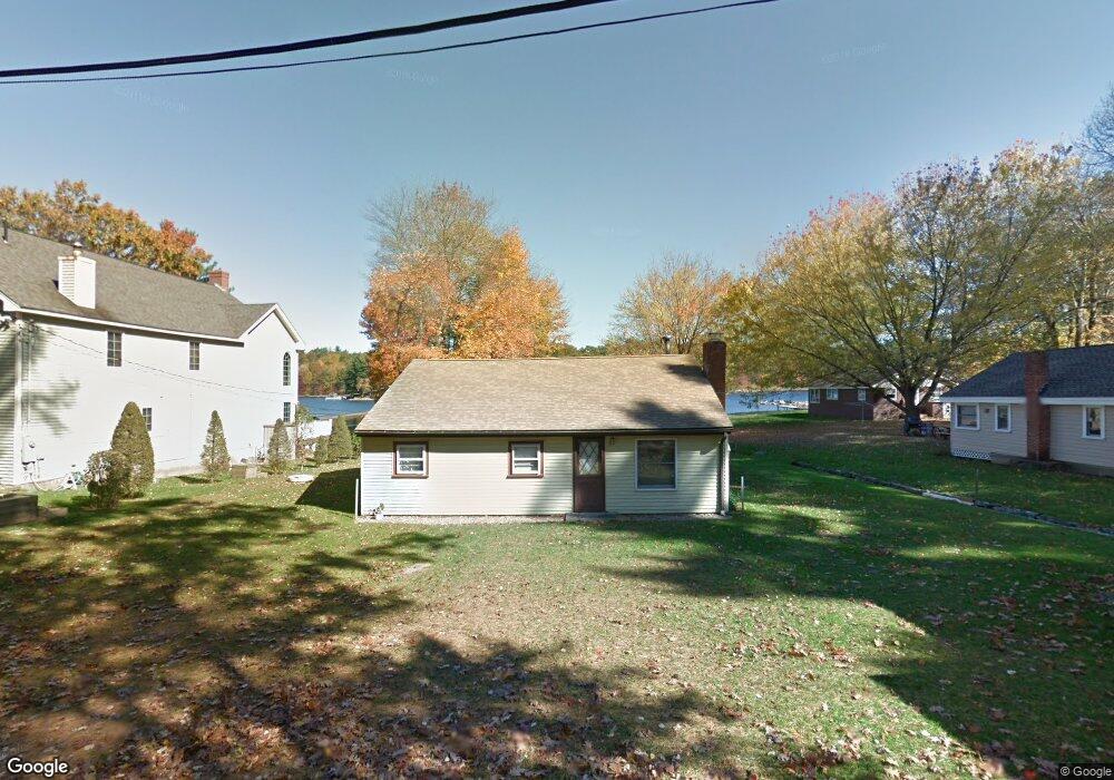
17 Hough Rd Douglas, MA 01516
Estimated Value: $512,710 - $549,000
2
Beds
1
Bath
1,122
Sq Ft
$471/Sq Ft
Est. Value
About This Home
This home is located at 17 Hough Rd, Douglas, MA 01516 and is currently estimated at $528,178, approximately $470 per square foot. 17 Hough Rd is a home located in Worcester County with nearby schools including Douglas Primary School, Douglas Middle School, and Douglas High School.
Ownership History
Date
Name
Owned For
Owner Type
Purchase Details
Closed on
Jun 17, 2016
Sold by
Laramee Irt
Bought by
Laramee David and Laramee Rebecca
Current Estimated Value
Home Financials for this Owner
Home Financials are based on the most recent Mortgage that was taken out on this home.
Original Mortgage
$240,000
Outstanding Balance
$199,408
Interest Rate
5%
Mortgage Type
New Conventional
Estimated Equity
$328,770
Purchase Details
Closed on
May 30, 2008
Sold by
Laramee Joseph J and Laramee Theresa M
Bought by
Joseph L Laramee Jr Re
Create a Home Valuation Report for This Property
The Home Valuation Report is an in-depth analysis detailing your home's value as well as a comparison with similar homes in the area
Home Values in the Area
Average Home Value in this Area
Purchase History
| Date | Buyer | Sale Price | Title Company |
|---|---|---|---|
| Laramee David | $305,045 | -- | |
| Joseph L Laramee Jr Re | -- | -- |
Source: Public Records
Mortgage History
| Date | Status | Borrower | Loan Amount |
|---|---|---|---|
| Open | Laramee David | $240,000 |
Source: Public Records
Tax History Compared to Growth
Tax History
| Year | Tax Paid | Tax Assessment Tax Assessment Total Assessment is a certain percentage of the fair market value that is determined by local assessors to be the total taxable value of land and additions on the property. | Land | Improvement |
|---|---|---|---|---|
| 2025 | $67 | $506,100 | $281,000 | $225,100 |
| 2024 | $6,323 | $467,700 | $244,300 | $223,400 |
| 2023 | $5,803 | $404,100 | $244,300 | $159,800 |
| 2022 | $4,677 | $286,200 | $158,300 | $127,900 |
| 2021 | $4,526 | $270,700 | $150,800 | $119,900 |
| 2020 | $4,484 | $264,100 | $150,800 | $113,300 |
| 2019 | $4,487 | $256,400 | $150,800 | $105,600 |
| 2018 | $4,054 | $252,300 | $150,800 | $101,500 |
| 2017 | $4,270 | $255,400 | $169,900 | $85,500 |
| 2016 | $4,229 | $251,400 | $169,900 | $81,500 |
| 2015 | $4,138 | $251,400 | $169,900 | $81,500 |
Source: Public Records
Map
Nearby Homes
- 18 Lakeshore Dr
- 182 Manchaug Rd
- 2 Ledgestone Rd
- 2 W Second St
- 19 Laurel Glades
- 34R Tucker Ln
- 4 1st St
- 3 Ledge St
- 8 Whitins Rd Unit A
- 8A Whitins Rd
- 108 Mumford St
- 223 West St
- 30 Mumford Rd
- 244 Putnam Hill Rd
- 14 Whitin Heights
- 31 Douglas Rd
- 24 Manchaug Rd
- 173 Putnam Hill Rd
- 7 Tower Hill Rd
- Lot 27 Cedar St