17 Howell Ln Chilmark, MA 02535
Chilmark NeighborhoodEstimated Value: $2,301,000 - $3,848,858
1
Bed
1
Bath
1,968
Sq Ft
$1,483/Sq Ft
Est. Value
About This Home
This home is located at 17 Howell Ln, Chilmark, MA 02535 and is currently estimated at $2,918,953, approximately $1,483 per square foot. 17 Howell Ln is a home located in Dukes County with nearby schools including Martha's Vineyard Regional High School.
Ownership History
Date
Name
Owned For
Owner Type
Purchase Details
Closed on
Nov 8, 1999
Sold by
Est Howell James B and Lawless Robert C
Bought by
Magnolia Rt and Merkel Stephen
Current Estimated Value
Home Financials for this Owner
Home Financials are based on the most recent Mortgage that was taken out on this home.
Original Mortgage
$1,100,000
Interest Rate
7.73%
Mortgage Type
Purchase Money Mortgage
Create a Home Valuation Report for This Property
The Home Valuation Report is an in-depth analysis detailing your home's value as well as a comparison with similar homes in the area
Home Values in the Area
Average Home Value in this Area
Purchase History
| Date | Buyer | Sale Price | Title Company |
|---|---|---|---|
| Magnolia Rt | $3,100,000 | -- |
Source: Public Records
Mortgage History
| Date | Status | Borrower | Loan Amount |
|---|---|---|---|
| Open | Magnolia Rt | $1,631,000 | |
| Closed | Magnolia Rt | $1,680,000 | |
| Closed | Magnolia Rt | $1,100,000 |
Source: Public Records
Tax History
| Year | Tax Paid | Tax Assessment Tax Assessment Total Assessment is a certain percentage of the fair market value that is determined by local assessors to be the total taxable value of land and additions on the property. | Land | Improvement |
|---|---|---|---|---|
| 2025 | $10,292 | $4,574,100 | $3,886,300 | $687,800 |
| 2024 | $9,335 | $4,403,400 | $3,749,700 | $653,700 |
| 2023 | $8,998 | $3,421,300 | $2,884,200 | $537,100 |
| 2022 | $8,282 | $2,937,000 | $2,488,300 | $448,700 |
| 2021 | $8,411 | $2,890,300 | $2,488,300 | $402,000 |
| 2020 | $8,086 | $2,827,300 | $2,439,500 | $387,800 |
| 2019 | $8,191 | $2,844,000 | $2,439,500 | $404,500 |
| 2018 | $7,821 | $2,844,000 | $2,439,500 | $404,500 |
| 2017 | $7,604 | $2,837,300 | $2,439,500 | $397,800 |
| 2016 | $7,675 | $2,832,200 | $2,439,500 | $392,700 |
| 2015 | $7,449 | $2,832,200 | $2,439,500 | $392,700 |
| 2014 | $7,704 | $3,106,500 | $2,807,700 | $298,800 |
Source: Public Records
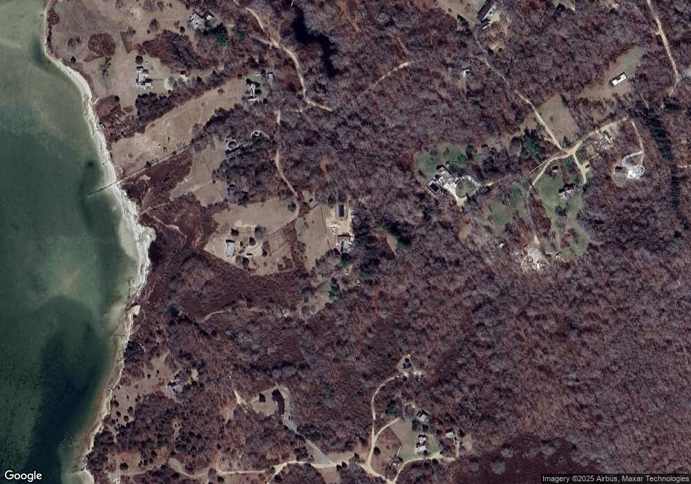
Map
Nearby Homes
- 0 N Road 15 Belhaven Way Unit 4-2
- 12 E Pasture Way
- 16 Shotnaigher Ln
- 43 N Slope Ln
- 345 North Rd
- 18 Allen Farm Rd
- 834 State Rd Unit 133
- 46 Tiercel Ln
- 25 Fulling Mill Rd
- 12 Lobsterville Rd
- 300 North Rd
- 9 Moshup Trail
- 6 Trails End
- 4 Nomans Watch Rd
- 18 Spruce Gate Rd
- 0 Jeffers Way Unit 165
- 393 Lighthouse Rd
- 308 South Rd
- 382 Lighthouse Rd
- 370 Lighthouse Rd
- 0 Marjo's Way
- 28B Howell Ln
- 0 Howell Ln
- 14 Marjo's Way
- 14 Marions Way
- 5 Marjos Way
- 11 Howell Ln
- 9 Marions Way
- 5 Marions Way
- 3 Marions Way
- 3 Marjo's Way
- 12 Peases Point Way
- 5 Howell Ln
- 24 Peases Point Way
- 41 Howell Ln
- 46 Peases Point Way
- 42 Peases Point Way
- 23 Meadow Ln
- 23 Meadow Ln
- 10 Peases Point Way
Your Personal Tour Guide
Ask me questions while you tour the home.