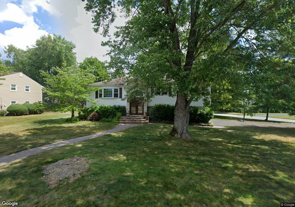
17 Iron Forge Rd Parsippany, NJ 07054
Estimated Value: $777,000 - $913,000
--
Bed
--
Bath
2,916
Sq Ft
$286/Sq Ft
Est. Value
About This Home
This home is located at 17 Iron Forge Rd, Parsippany, NJ 07054 and is currently estimated at $833,218, approximately $285 per square foot. 17 Iron Forge Rd is a home located in Morris County with nearby schools including Troy Hills School, Central Middle School, and Parsippany High School.
Ownership History
Date
Name
Owned For
Owner Type
Purchase Details
Closed on
Jun 16, 1999
Sold by
Greer Michael J and Greer Lisa M
Bought by
Tymikiw Stephen P and Tymikiw Irene
Current Estimated Value
Home Financials for this Owner
Home Financials are based on the most recent Mortgage that was taken out on this home.
Original Mortgage
$195,000
Outstanding Balance
$51,174
Interest Rate
6.99%
Mortgage Type
Purchase Money Mortgage
Estimated Equity
$782,044
Purchase Details
Closed on
Sep 15, 1997
Sold by
Carlsen Robert and Carlsen Irene
Bought by
Greer Michael J and Greer Lisa M
Home Financials for this Owner
Home Financials are based on the most recent Mortgage that was taken out on this home.
Original Mortgage
$195,500
Interest Rate
7.48%
Create a Home Valuation Report for This Property
The Home Valuation Report is an in-depth analysis detailing your home's value as well as a comparison with similar homes in the area
Home Values in the Area
Average Home Value in this Area
Purchase History
| Date | Buyer | Sale Price | Title Company |
|---|---|---|---|
| Tymikiw Stephen P | $255,000 | -- | |
| Greer Michael J | $230,000 | First American |
Source: Public Records
Mortgage History
| Date | Status | Borrower | Loan Amount |
|---|---|---|---|
| Open | Tymikiw Stephen P | $195,000 | |
| Previous Owner | Greer Michael J | $195,500 |
Source: Public Records
Tax History Compared to Growth
Tax History
| Year | Tax Paid | Tax Assessment Tax Assessment Total Assessment is a certain percentage of the fair market value that is determined by local assessors to be the total taxable value of land and additions on the property. | Land | Improvement |
|---|---|---|---|---|
| 2025 | $13,412 | $393,300 | $188,800 | $204,500 |
| 2024 | $13,164 | $393,300 | $188,800 | $204,500 |
| 2023 | $13,164 | $393,300 | $188,800 | $204,500 |
| 2022 | $12,306 | $393,300 | $188,800 | $204,500 |
| 2021 | $12,306 | $393,300 | $188,800 | $204,500 |
| 2020 | $12,043 | $393,300 | $188,800 | $204,500 |
| 2019 | $11,716 | $393,300 | $188,800 | $204,500 |
| 2018 | $11,457 | $393,300 | $188,800 | $204,500 |
| 2017 | $11,193 | $393,300 | $188,800 | $204,500 |
| 2016 | $10,993 | $393,300 | $188,800 | $204,500 |
| 2015 | $10,648 | $390,900 | $188,800 | $202,100 |
| 2014 | $10,503 | $390,900 | $188,800 | $202,100 |
Source: Public Records
Map
Nearby Homes
- 74 Preston Rd
- 89 Schindler Ct
- 72 Schindler Ct
- 2 Dunkirk Dr
- 12 Sunrise Dr
- 16 Nantes Rd
- 209 Raymound Blvd
- 24 Leah Way
- 91 Rhyan Dr
- 144 Jillian Blvd
- 91 Emily Place
- 11 Nemic Ln
- 26 David Dr
- 159 Ball Ave
- 123 Cardigan Ct Unit 123
- 53 Gordon Cir Unit 53
- 193 Crown Point Rd Unit 193
- 20 Sandra Dr
- 45 Polhemus Terrace
- 7 Berkshire St
- 15 Iron Forge Rd
- 35 Lord Stirling Dr
- 50 Lord Stirling Dr
- 14 Iron Forge Rd
- 48 Lord Stirling Dr
- 720 S Beverwyck Rd
- 31 Lord Stirling Dr
- 760 S Beverwyck Rd
- 11 Iron Forge Rd
- 12 Iron Forge Rd
- 46 Lord Stirling Dr
- 710 S Beverwyck Rd
- 780 S Beverwyck Rd
- 10 Iron Forge Rd
- 9 Iron Forge Rd
- 44 Lord Stirling Dr
- 11 Faber Rd
- 29 Lord Stirling Dr
- 9 Faber Rd
- 1160 S Beverwyck Rd