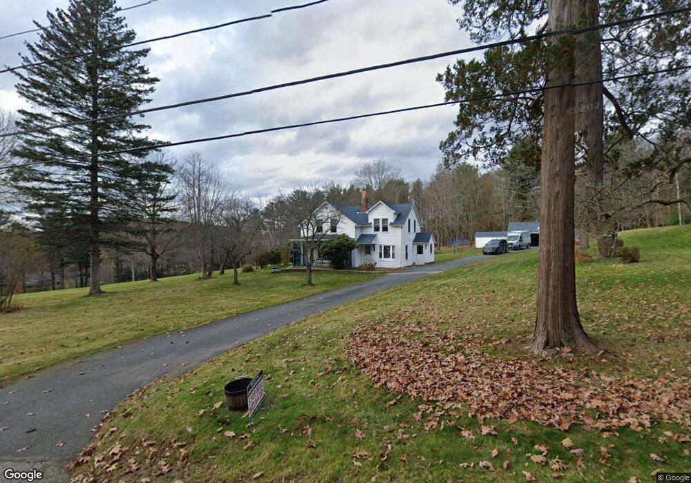
17 J Davis Rd Charlton, MA 01507
Estimated Value: $369,000 - $435,021
4
Beds
1
Bath
1,396
Sq Ft
$290/Sq Ft
Est. Value
About This Home
This home is located at 17 J Davis Rd, Charlton, MA 01507 and is currently estimated at $405,255, approximately $290 per square foot. 17 J Davis Rd is a home located in Worcester County with nearby schools including Shepherd Hill Regional High School.
Ownership History
Date
Name
Owned For
Owner Type
Purchase Details
Closed on
Apr 29, 2019
Sold by
Ide Ft and Allen
Bought by
Minardi Gregory and Minardi Andrea
Current Estimated Value
Home Financials for this Owner
Home Financials are based on the most recent Mortgage that was taken out on this home.
Original Mortgage
$207,611
Outstanding Balance
$181,778
Interest Rate
4.2%
Mortgage Type
New Conventional
Estimated Equity
$223,477
Purchase Details
Closed on
Aug 5, 2011
Sold by
Ide Eugene H and Ide Josephine H
Bought by
Ide Ft and Allen
Create a Home Valuation Report for This Property
The Home Valuation Report is an in-depth analysis detailing your home's value as well as a comparison with similar homes in the area
Home Values in the Area
Average Home Value in this Area
Purchase History
| Date | Buyer | Sale Price | Title Company |
|---|---|---|---|
| Minardi Gregory | $161,000 | -- | |
| Minardi Gregory | $161,000 | -- | |
| Ide Ft | -- | -- | |
| Ide Ft | -- | -- |
Source: Public Records
Mortgage History
| Date | Status | Borrower | Loan Amount |
|---|---|---|---|
| Open | Minardi Gregory | $207,611 | |
| Closed | Minardi Gregory | $207,611 |
Source: Public Records
Tax History Compared to Growth
Tax History
| Year | Tax Paid | Tax Assessment Tax Assessment Total Assessment is a certain percentage of the fair market value that is determined by local assessors to be the total taxable value of land and additions on the property. | Land | Improvement |
|---|---|---|---|---|
| 2025 | $4,163 | $374,000 | $96,300 | $277,700 |
| 2024 | $4,089 | $360,600 | $96,000 | $264,600 |
| 2023 | $3,994 | $328,200 | $91,300 | $236,900 |
| 2022 | $3,576 | $269,100 | $82,900 | $186,200 |
| 2021 | $3,716 | $247,600 | $78,700 | $168,900 |
| 2020 | $3,654 | $244,600 | $75,700 | $168,900 |
| 2019 | $3,853 | $260,900 | $92,000 | $168,900 |
| 2018 | $3,522 | $260,900 | $92,000 | $168,900 |
| 2017 | $3,305 | $234,400 | $86,000 | $148,400 |
| 2016 | $3,230 | $234,400 | $86,000 | $148,400 |
| 2015 | $3,146 | $234,400 | $86,000 | $148,400 |
| 2014 | $2,969 | $234,500 | $88,600 | $145,900 |
Source: Public Records
Map
Nearby Homes
- 38 Stevens Park Rd
- 0 Trolley Crossing Rd
- 102 Worcester Rd
- 5 Carpenter Hill Rd
- 0 Worcester Rd
- 25 N Main St Unit A
- 208 Sunset Dr
- 199 Center Depot Rd
- 7 Little Muggett Rd
- 28 Southbridge Rd Unit 402
- 5 Northside Rd
- 8 Northside Rd
- 7 L Stevens Rd Unit A
- 7 L Stevens Rd Unit B
- 57 Carpenter Hill Rd
- Lot 3 0 N Sullivan Rd
- Lot 6 0 N Sullivan Rd
- Lot 5 0 N Sullivan Rd
- Lot 4 0 N Sullivan Rd
- 6 S Sullivan Rd
- 17 J Davis Rd
- Lot B J Davis Rd
- Lot A J Davis Rd
- 20 J Davis Rd
- 13 J Davis Rd
- 14 J Davis Rd
- 24 J Davis Rd
- 47 City Depot Rd
- 51 City Depot Rd
- 29 J Davis Rd
- 30 J Davis Rd
- 35 J Davis Rd
- 57 City Depot Rd
- 61 City Depot Rd
- 37 J Davis Rd
- 57 H Putnam Rd
- 53 H Putnam Rd
- 51 H Putnam Rd
- 60 H Putnam Rd
- 56 H Putnam Rd