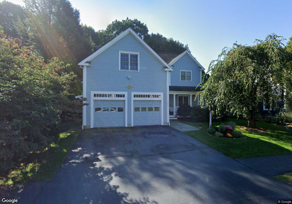
17 James Ave Needham Heights, MA 02494
Estimated Value: $1,231,000 - $2,120,540
4
Beds
4
Baths
1,363
Sq Ft
$1,319/Sq Ft
Est. Value
About This Home
This home is located at 17 James Ave, Needham Heights, MA 02494 and is currently estimated at $1,798,135, approximately $1,319 per square foot. 17 James Ave is a home located in Norfolk County with nearby schools including Mitchell Elementary School, High Rock Middle School, and Pollard Middle School.
Ownership History
Date
Name
Owned For
Owner Type
Purchase Details
Closed on
Sep 20, 2021
Sold by
Bayer-Zwirello Lucy A and Zwirello Herakliusz
Bought by
17 James Avenue Rt
Current Estimated Value
Purchase Details
Closed on
May 7, 2021
Sold by
17 James Avenue Rt
Bought by
Zwirello Herakliusz and Zwirello Lucy A
Purchase Details
Closed on
May 28, 2020
Sold by
Bayer-Zwirello Lucy A and Zwirello Herakliusz
Bought by
17 James Avenue Rt
Purchase Details
Closed on
Aug 1, 2003
Sold by
Slicklen Bldrs Inc
Bought by
Bayer-Zwirello Lucy A and Zwirello Herakliusz
Purchase Details
Closed on
Oct 21, 2002
Sold by
Garza Ulysses
Bought by
Slicklen Builders Inc
Purchase Details
Closed on
Feb 28, 2000
Sold by
Frank A Sonsini T
Bought by
Garza Ulysses
Create a Home Valuation Report for This Property
The Home Valuation Report is an in-depth analysis detailing your home's value as well as a comparison with similar homes in the area
Home Values in the Area
Average Home Value in this Area
Purchase History
| Date | Buyer | Sale Price | Title Company |
|---|---|---|---|
| 17 James Avenue Rt | -- | None Available | |
| Zwirello Herakliusz | -- | None Available | |
| 17 James Avenue Rt | -- | None Available | |
| Bayer-Zwirello Lucy A | $946,000 | -- | |
| Slicklen Builders Inc | $415,000 | -- | |
| Garza Ulysses | $320,000 | -- |
Source: Public Records
Mortgage History
| Date | Status | Borrower | Loan Amount |
|---|---|---|---|
| Previous Owner | Garza Ulysses | $123,000 | |
| Previous Owner | Garza Ulysses | $618,000 |
Source: Public Records
Tax History Compared to Growth
Tax History
| Year | Tax Paid | Tax Assessment Tax Assessment Total Assessment is a certain percentage of the fair market value that is determined by local assessors to be the total taxable value of land and additions on the property. | Land | Improvement |
|---|---|---|---|---|
| 2025 | $18,302 | $1,726,600 | $747,700 | $978,900 |
| 2024 | $16,854 | $1,346,200 | $534,100 | $812,100 |
| 2023 | $16,738 | $1,283,600 | $534,100 | $749,500 |
| 2022 | $15,757 | $1,178,500 | $468,500 | $710,000 |
| 2021 | $15,356 | $1,178,500 | $468,500 | $710,000 |
| 2020 | $14,834 | $1,187,700 | $469,000 | $718,700 |
| 2019 | $14,069 | $1,135,500 | $426,400 | $709,100 |
| 2018 | $13,415 | $1,129,200 | $426,400 | $702,800 |
| 2017 | $12,320 | $1,036,200 | $426,400 | $609,800 |
| 2016 | $12,032 | $1,042,600 | $426,400 | $616,200 |
| 2015 | $11,771 | $1,042,600 | $426,400 | $616,200 |
| 2014 | $11,393 | $978,800 | $387,600 | $591,200 |
Source: Public Records
Map
Nearby Homes
- 556 Webster St
- 190 Brookline St
- 40 Otis St Unit L
- 332 Hillcrest Rd
- 42 Otis St Unit R
- 62 Washington Ave
- 77 High St
- 26 Pinewood Rd
- 445 Hillside Ave
- 154 Warren St
- 3 Crescent Rd
- 23 Cheney St
- 9 Jayne Rd
- 143 Hunting Rd
- 400 Hunnewell St Unit 103
- 78 Birds Hill Ave
- 71 School St
- 36 Davenport Rd
- 379 Hunnewell St Unit 379
- 233 Warren St
- 11 James Ave
- 23 James Ave
- 20 James Ave
- 14 James Ave
- 192 Manning St
- 202 Manning St
- 202 Manning St Unit 1
- 198 Manning St
- 8 James Ave
- 277 Brookline St
- 293 Brookline St
- 283 Brookline St
- 303 Brookline St
- 136 Lindbergh Ave
- 148 Lindbergh Ave
- 307 Brookline St
- 299 Brookline St
- 130 Lindbergh Ave
- 313 Brookline St
- 191 Manning St